Heywood’s Hidden Treasures(???)
Episode I ~ The Heap Bridge Branch Railway
Episode II ~ The RAF In Heywood
Episode III ~ The Heywood Branch Canal
Episode IV ~ The Haweswater Aqueduct
Episode V ~ The Mills Of Cheesden Valley
Episode VI ~ The Vanishing Moors Of Heywood
Episode VII ~ The Cragg Tramway
Episode VIII ~ The Deeply Vale Music Festivals
Episode I ~ The Heap Bridge Branch Railway Line
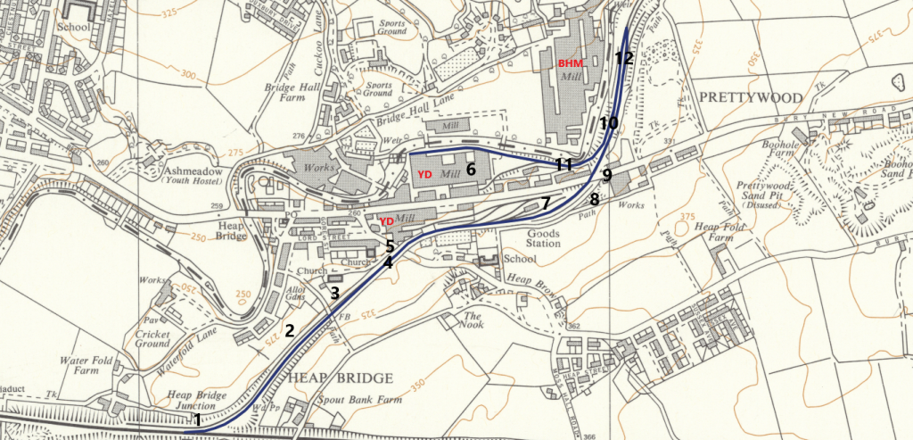
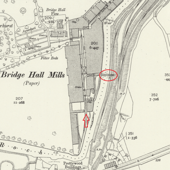
Heap Bridge has a 300-year papermaking history. The Heap Bridge sidings were a freight-only line built in 1880 for Bridge Hall Mill (BHM), but were later used solely by Yates Duxbury (YD) when BHM closed down in the mid 1920s.
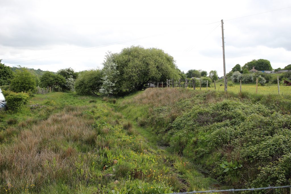
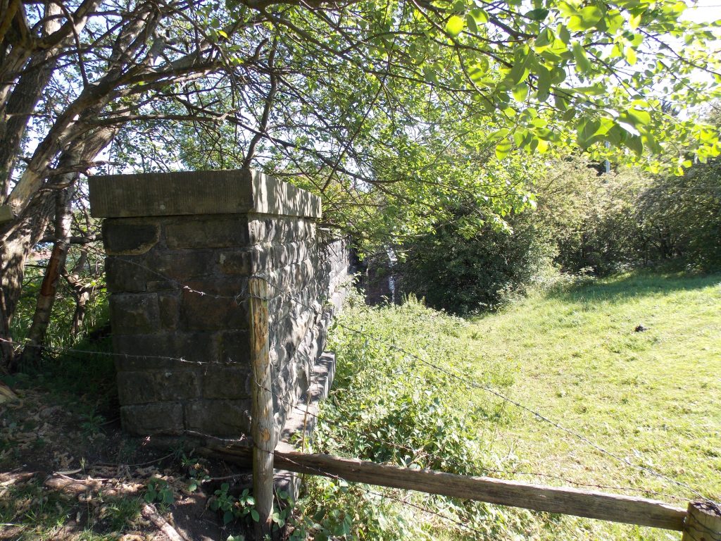
These modern-day pictures trace the line’s short journey ….
Pictures 1 to 12 are in sequence and relate to the above map


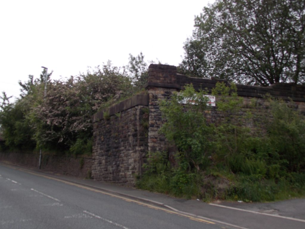
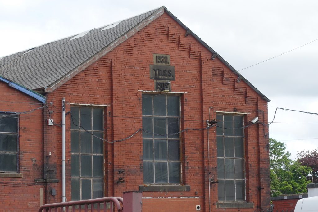
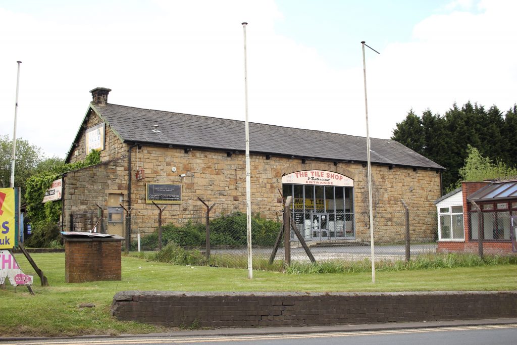
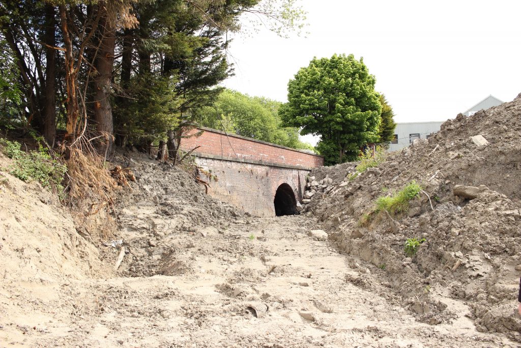
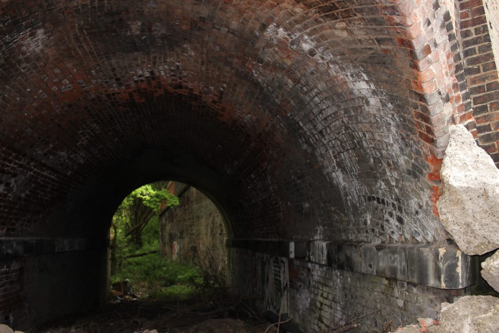
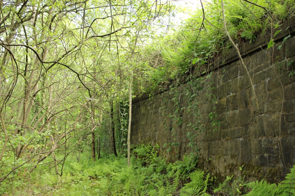
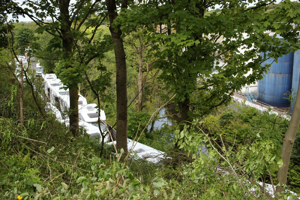
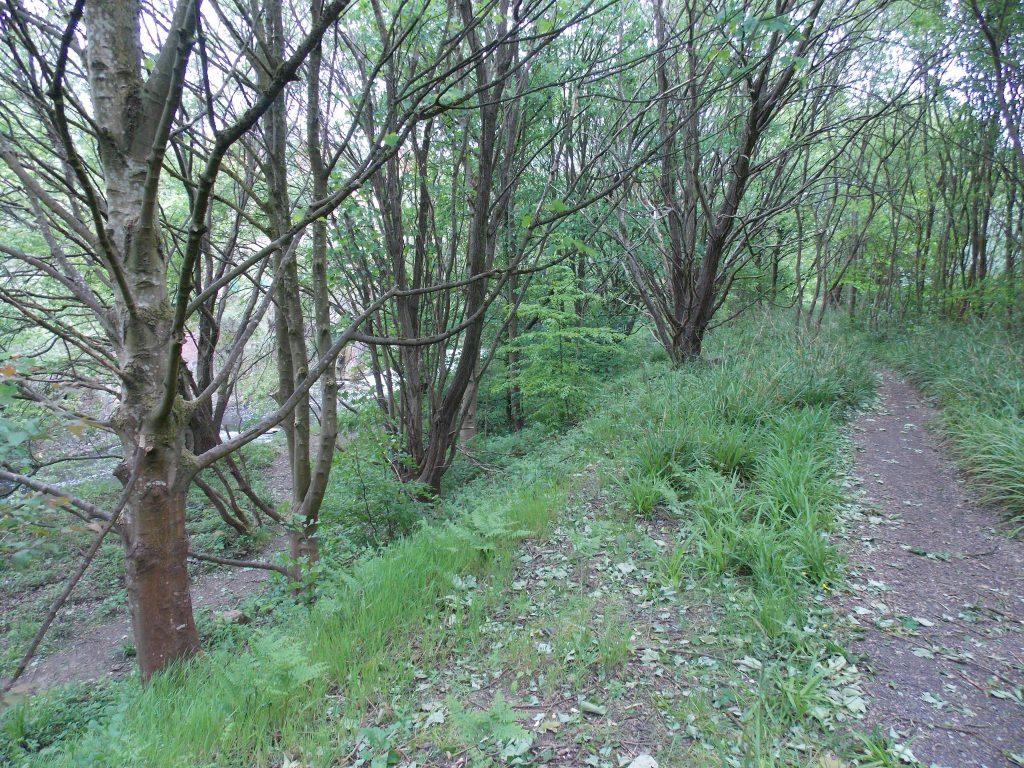
A masterpiece short film by Gandy Dancer Productions explains all …
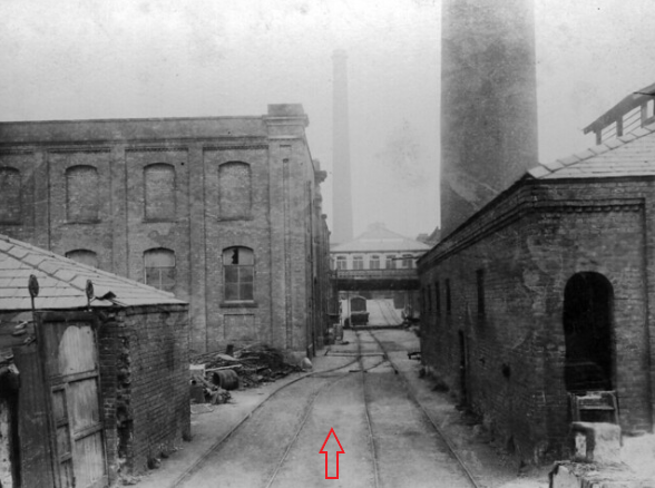
The Bridge Hall mill sat on the opposite side of the river from the branch line; access came via turntables … two tracks crossed the river on their own bridges at 90 degrees to the railway and river. They connected to two more turntables on the mill side; one bridge handled incoming traffic, the other outgoing.

Could this be one of the crossing points ~ an old nearby picture of the mill ~ with a possible clue remaining in a retaining wall on the right-hand side of the crossing(?) …
–

>>>
ACKNOWLEDGEMENT: my gratitude to Andrew Stocks for the photography and for assisting me with my research.
>>>
CROSS REFERENCE ~ Walks 6, 7 & 9
~
Episode II ~ The RAF in Heywood (35 Maintenance Unit)
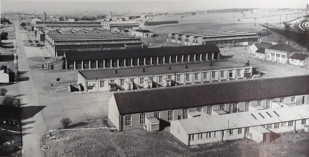
Heywood suffered badly during the Depression of the 1930s, and a solution to the demise of the cotton mills was sought … it came in 1938.
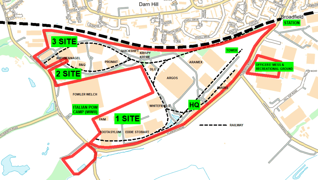
During WWII (and into the 1960s), Heywood had a huge RAF site. It was a maintenance unit for storage and repair, staffed mostly by civilians. To-day it is Heywood Distribution Park … a large industrial estate.
One of its main purposes was to provide replacement aircraft parts to RAF bases throughout Britain and abroad. Reaching the bases and ports required a massive transport operation … many parts moved by regular lorry convoys, often at night (to minimise enemy detection), and by women drivers … travelling alone, on unfamiliar roads, and during ‘black-out’!
–
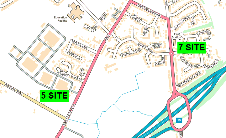
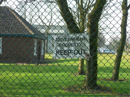
One of the few remnants of the RAF’s presence is the old guard-house for ‘5 Site’ on Manchester Road. It is still government-owned, under the guise of the Department for Work and Pensions, aka Heywood Stores … the huge warehouses store documents for benefit claims!
>>>
ACKNOWLEDGEMENTS ~ my gratitude to Roy Pickup for his historical information and for inspiring me to undertake this short project.
Further information regarding plans of the main site and several excellent newspaper clippings are available from Heywood Library – library reference: “B84”
>>>
CROSS REFERENCE ~ Walk 6 and Cycle Route South
~
Episode III ~ The Heywood Branch Canal
The Heywood Canal was an arm of the Rochdale Canal. It ran for a level 1.5 miles from Trub, near Castleton, to a wharf adjacent to Sefton Street in Heywood, where a warehouse stood. Fire destroyed the original warehouse in 1871, and a huge five-storey building replaced it, visible for miles.
The canal opened in 1834, carried traffic until 1937 and was abandoned in 1952 … along with most of the Rochdale Canal (fortunately the latter has been restored).
No Act of Parliament was obtained to authorise construction, as the canal owners bought all the required land without dispute. The committee opened it on 10 April 1834 with a ceremony that saw a boat called ‘The Rochdale’ travel along the new canal.
When the Manchester to Littleborough railway opened in 1839, a packet boat ran passenger services from Bluepits Station at Castleton to Heywood Wharf. The service didn’t last very long, for Heywood got its own railway branch in 1841. In 1952 navigation rights on most of the Rochdale Canal, including the Heywood Branch, were repealed (this time an Act was required!) and this Heywood ‘treasure’ was lost forever by 1970.
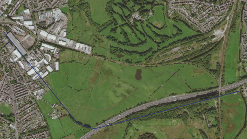
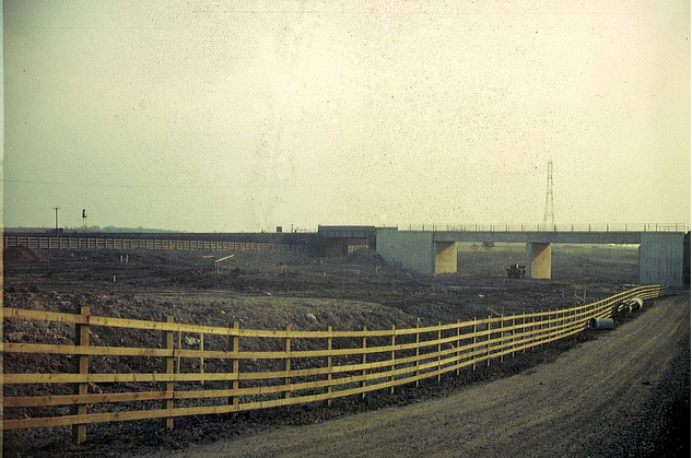
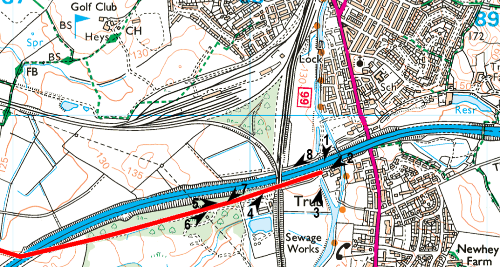
THE COURSE … the junction lies under the embankments of the M62 motorway. The old towpath ran along the canal’s north bank and was accessed from the main Rochdale Canal via swing bridges.
The course ran straight, under the London, Midland & Scottish railway line and alongside what is now just south of the motorway. To-day the entire length is on private land and virtually no evidence of its existence is visible!
From the Manchester Golf Course clubhouse, walk parallel to the railway (permission required) along a water board service road to the small treatment plant. From there, you can head west along a track presumably used by the golf course maintenance team(?) … no need to encroach on the fairways. It runs for just under half a mile, then abruptly ends at some barbed-wire fencing on private farmland. Just beyond the fencing, the canal swung northwest to cross the motorway.
From the motorway, it reached a bridge at Hope Street. Ley Farm was situated below this bridge on the west side. Hope Street gave access to the towpath but did not continue beyond the canal. Just before the Canal Street Bridge stood the High Street Cotton Mill … by 1910 it became Excelsior Works, cabinet manufacturers. It was disused in 1937 and demolished in 1956. Between Hope and Canal Streets, the canal ran under what are now fields. You can walk to the end of Hope Street, to trace the canal line. Also, the continuation of Canal Street is a footpath (The Rochdale Way) that crosses the old course.
Between Canal Street and Green Lane were located the cotton mills of Bridge Mill and Park Street Mill … still active in 1929, but cleared by 1937 and turned into garden allotments!
Opposite Park Street Mill (towpath side) was Sefton Mill, with Phoenix Brewery behind it. Green Lane Bridge was lost when the road was widened, although the road was never lowered, leaving a hump!
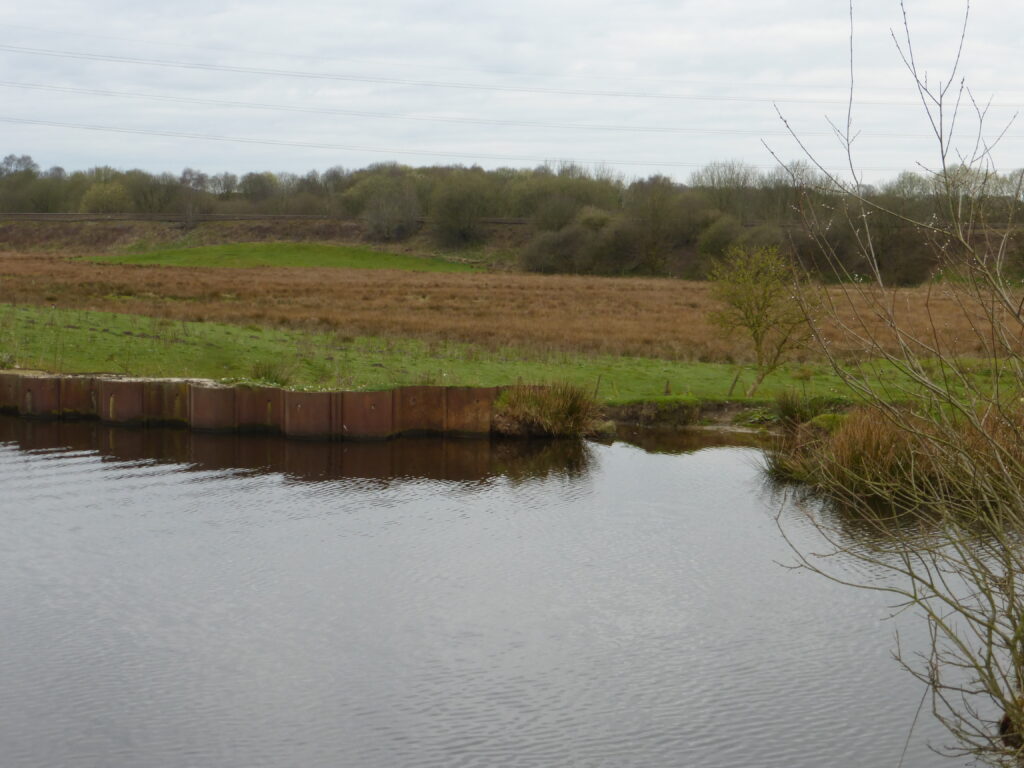


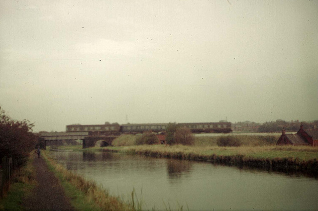
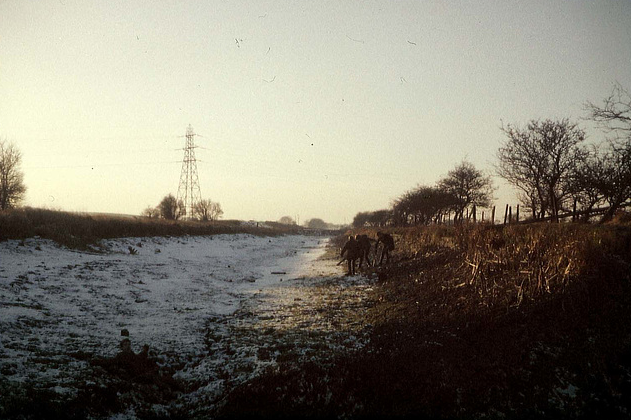
Canal start > From Trub Water Works > Along the golf course track
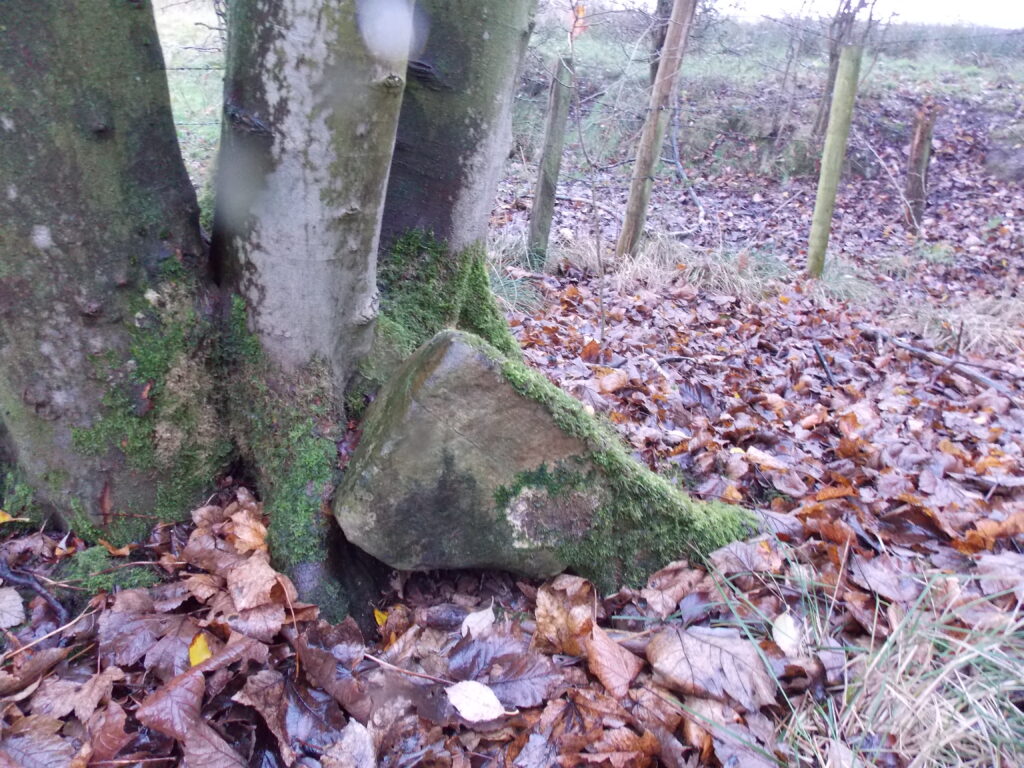
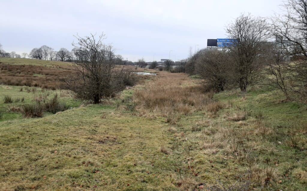
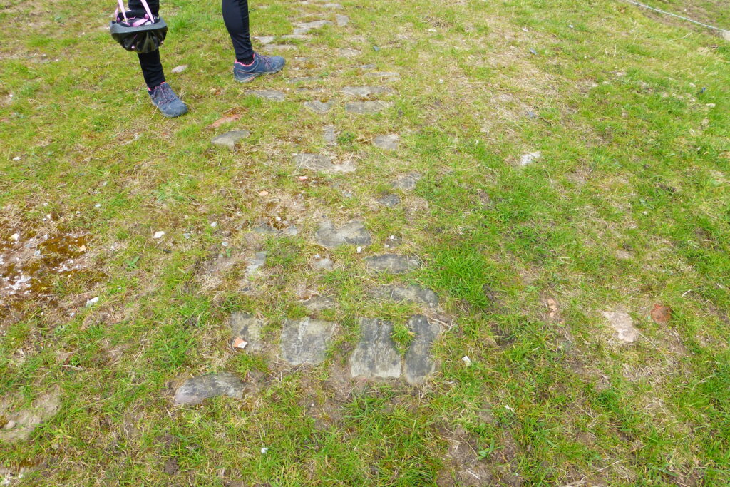
Evidence(?) > Prior to the bend > Hope Street Bridge
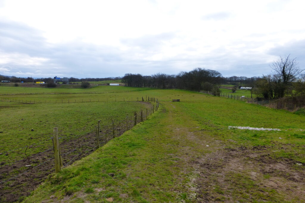
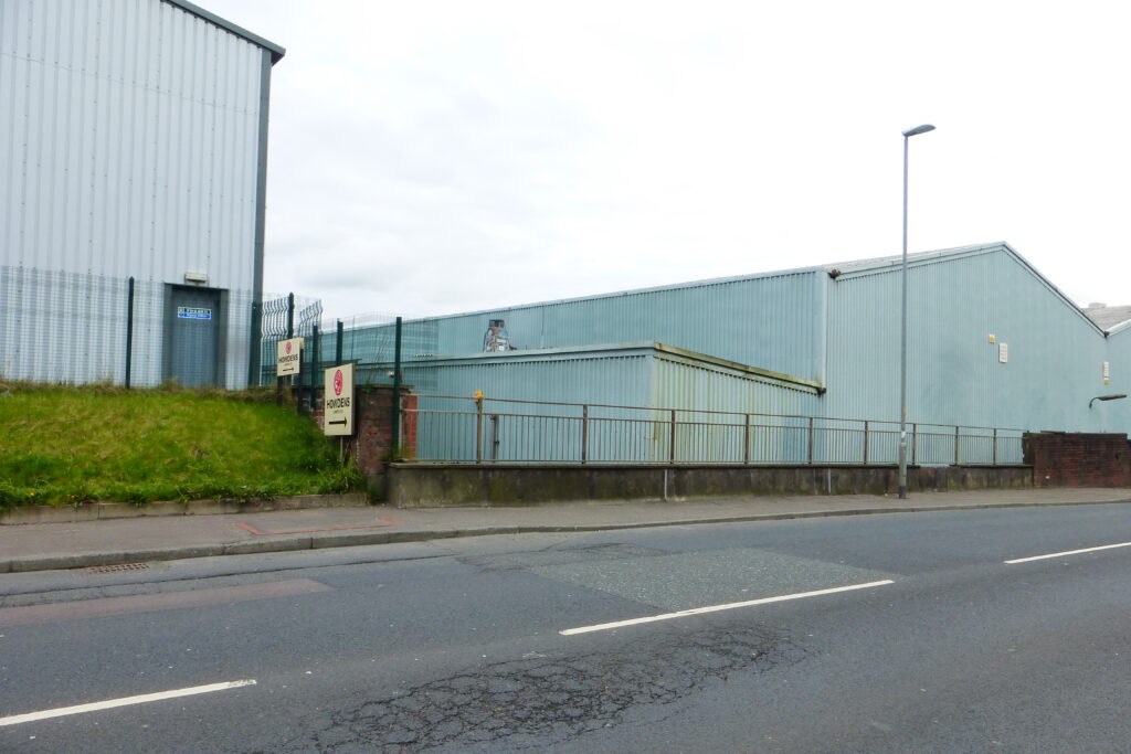
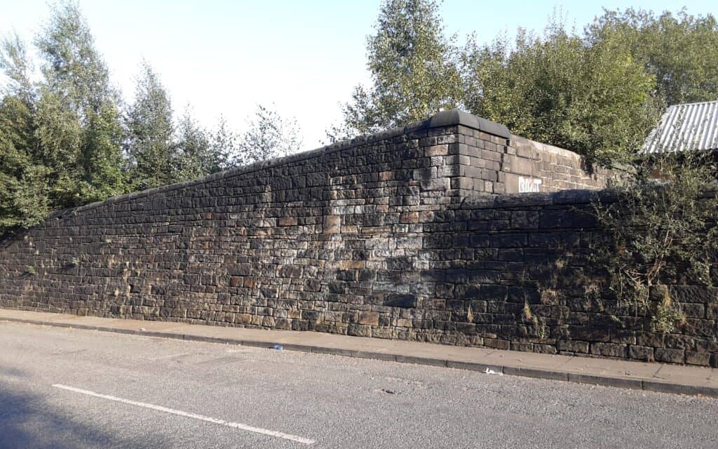
Canal at Hope Street > Green Lane > Wharf End


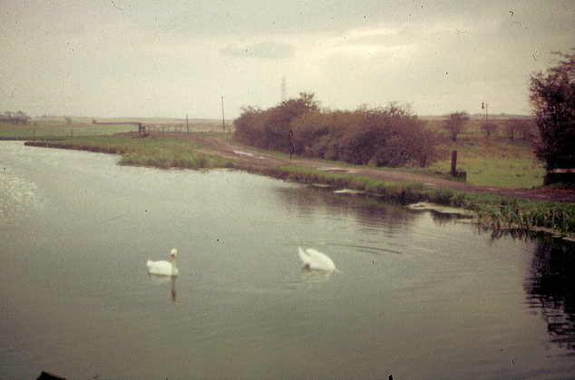
1 > 2 > 3

4 > 5 > 6
7 > 8
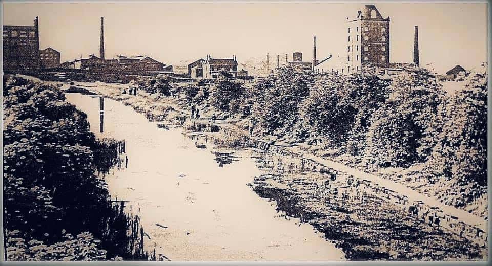
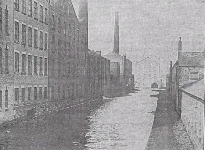
9 > 10

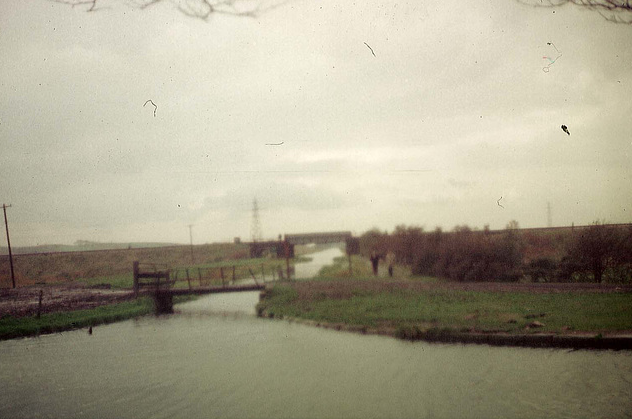
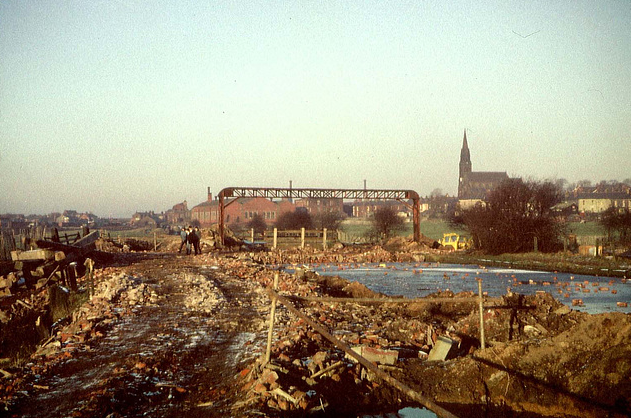
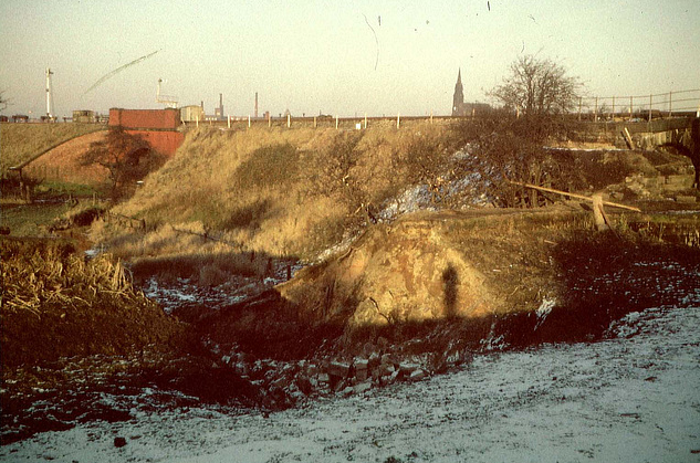
Here are a few official map-survey photos. The grid references indicated are too vague to pinpoint the exact locations …
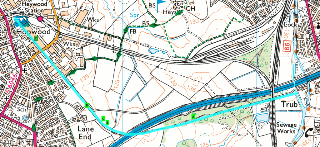
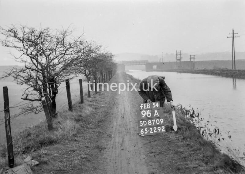
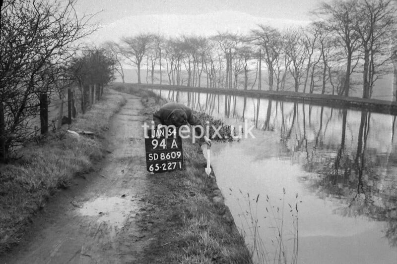
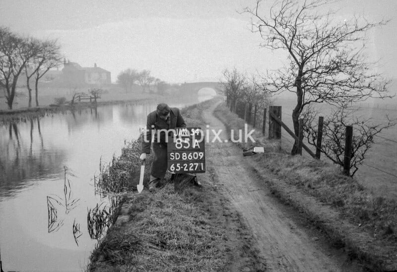
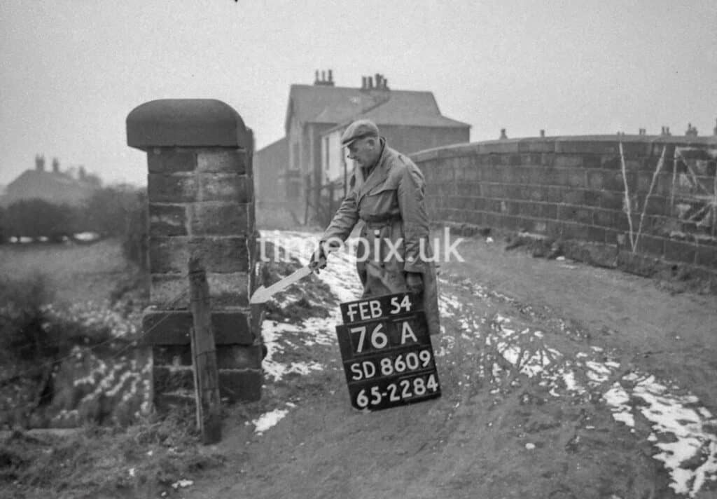
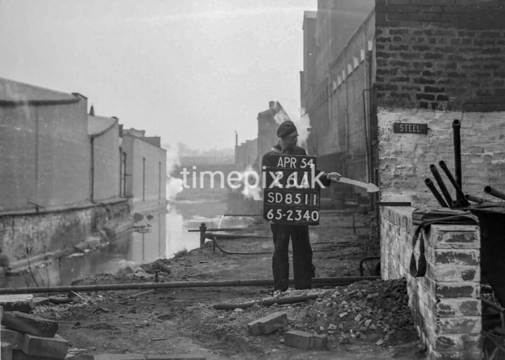
A > B > C > D > E
>>>
CROSS REFERENCE ~ Walk 5 and Cycle Route South
~
Episode IV ~ The Haweswater Aqueduct
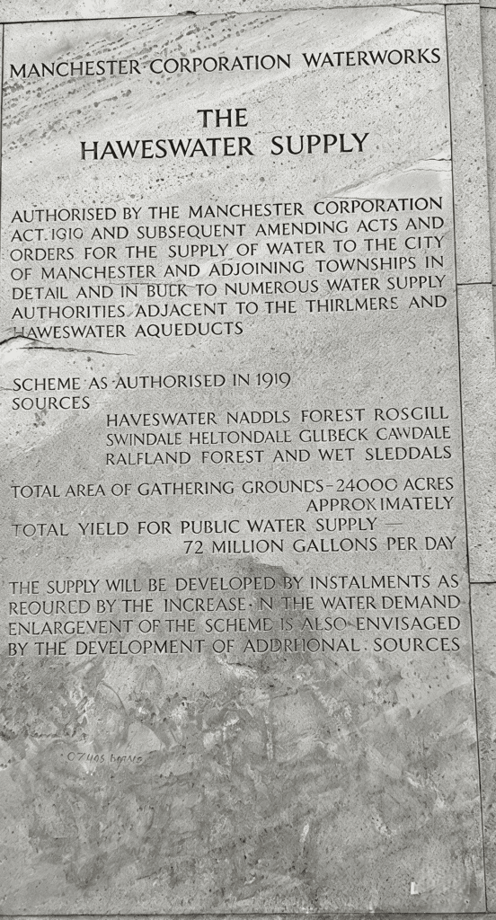
Although Heywood gets its water supply from the Greenbooth/Naden Reservoir chain and Ashworth Moor Reservoir, this engineering gem definitely falls on our town’s radar and warrants more than a mention.
In the days before reservoirs, Heywood villagers collected water from wells, pumps and springs … Well Street, Pump Lane (now Mary Street) and Springfield Street remind us of our original water supplies. The Naden reservoirs came first, then Ashworth and finally Greenbooth. Water is piped to Heywood via the Clay Lane treatment works near Bamford.
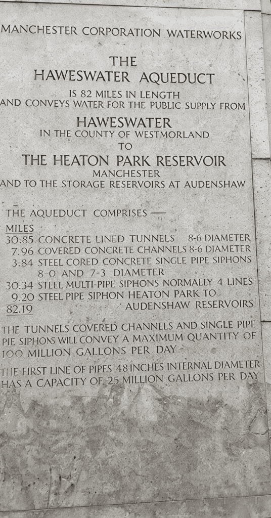
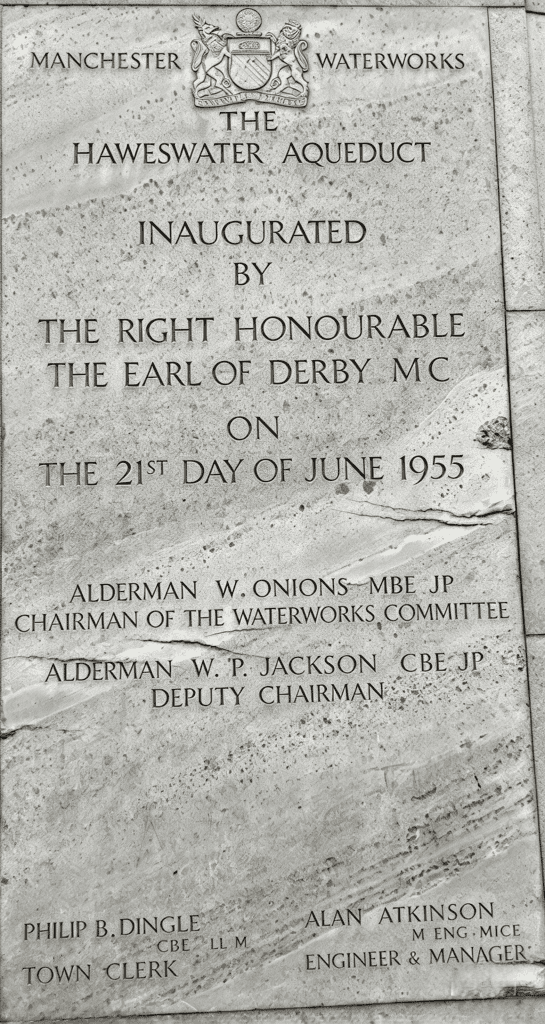
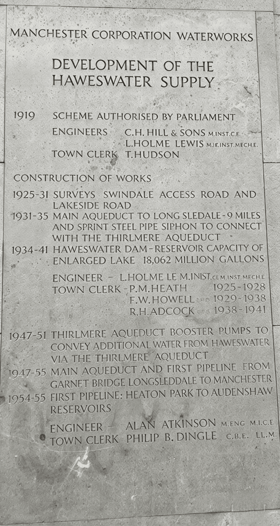
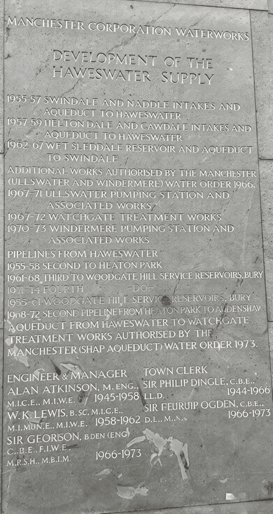
Onto the “treasure” … the 72-mile Haweswater Aqueduct runs from Haweswater in the north-eastern Lake District to Heaton Park reservoir in Manchester. The company built it between 1935 and 1955. The first 9-mile section runs through a tunnel, then down Longsleddale to Watchgate Treatment Works north of Kendal. The company built it concurrently with the Haweswater dam and completed it in 1941. It allowed water to be drawn from the new reservoir and sent from Watchgate through a 1 1/4 mile linking pipeline into the existing Thirlmere aqueduct, and thus to Manchester.
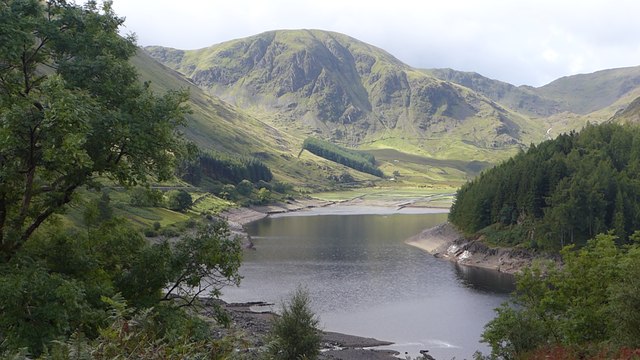
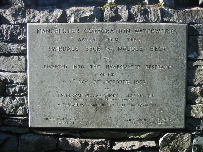
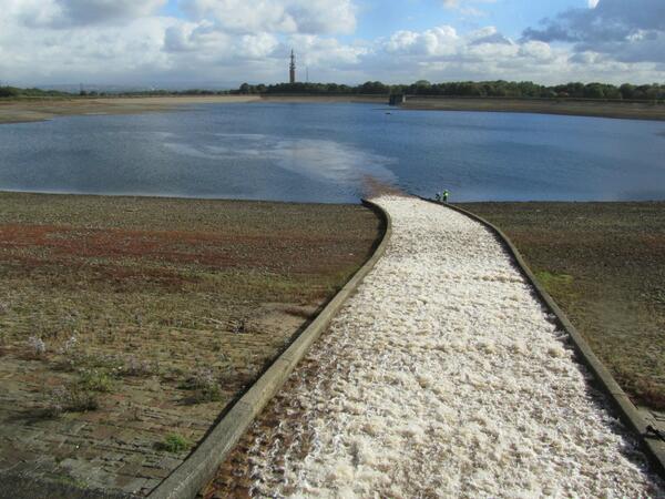
Construction of the rest of the Haweswater Aqueduct started in 1948. Its 63 miles included six concrete-lined tunnels with an 8-foot inside diameter, each with a shallow southwards gradient, totalling 31 miles. The remaining 32 miles consist mostly of four pipes buried side by side in trenches across undulating countryside.
Haweswater is 800 feet above sea level, Watchgate is 650 feet, and Heaton Park is 400 feet … allowing the water to flow along the whole aqueduct by gravity (after priming), with water dragged uphill along sections by a ‘siphon’.

THE WALK … my tribute is in the form of an 11-mile walk that follows a section of the aqueduct (or nearest to it, following mainly Rights of Way) … starting near ‘Owd Bet’s’ pub on the Edenfield Road and ending at Heaton Park.


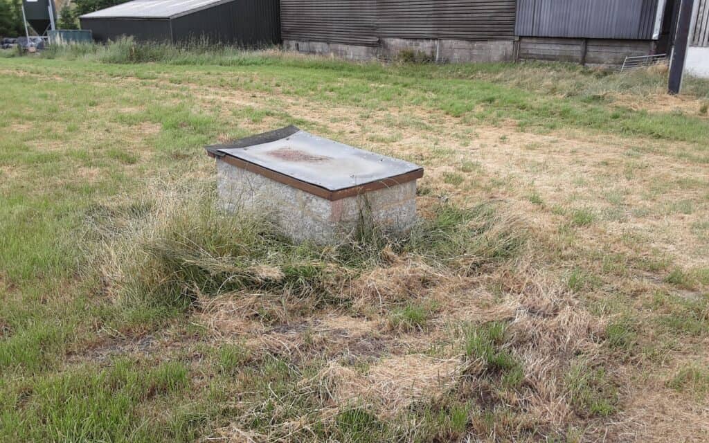
Some above-ground evidence (???!) …

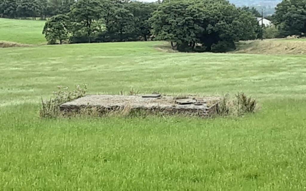
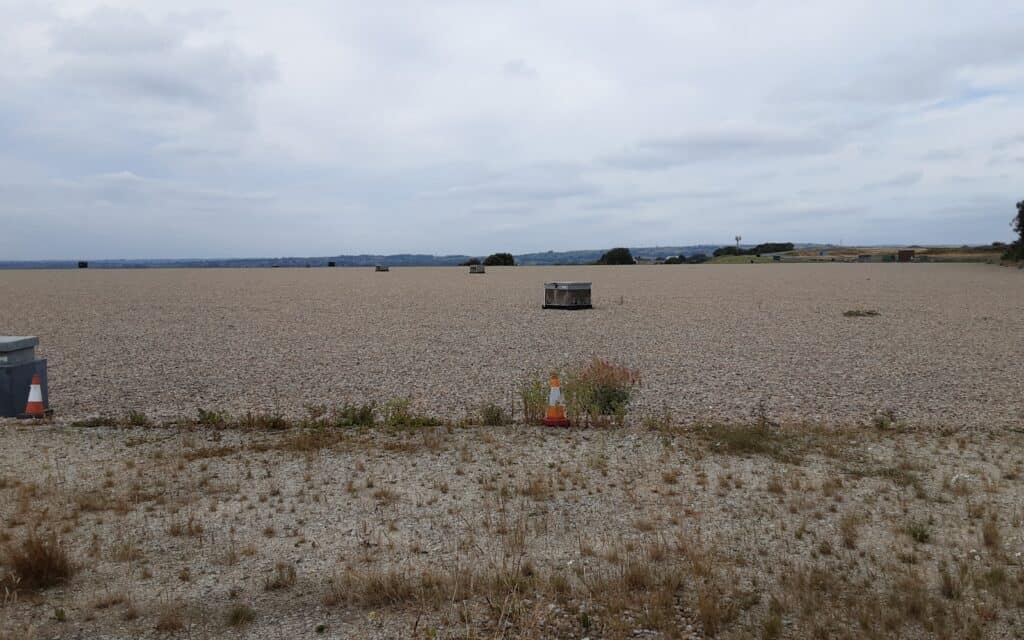
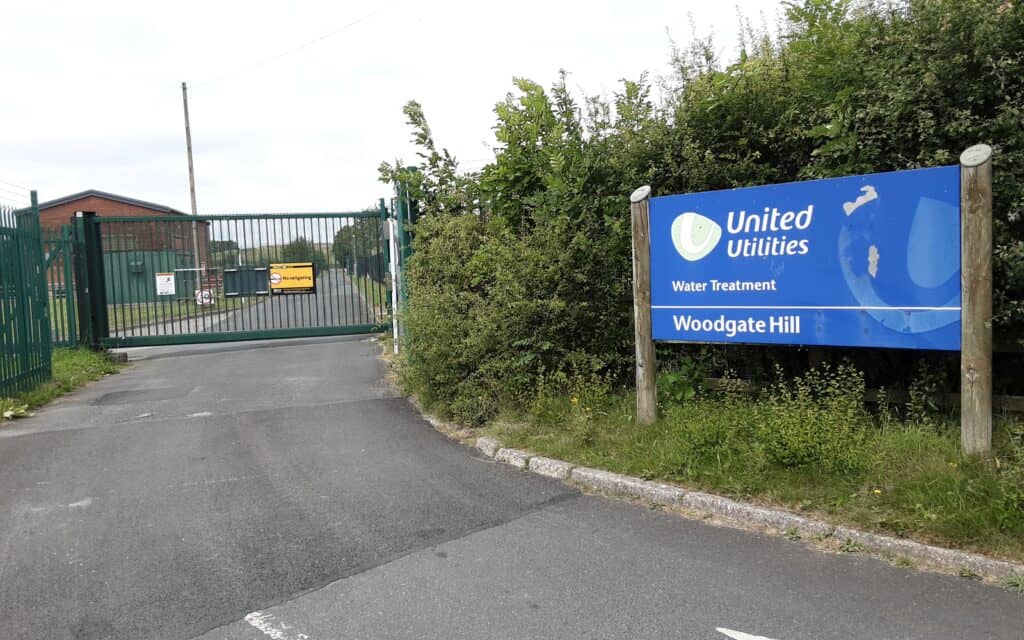
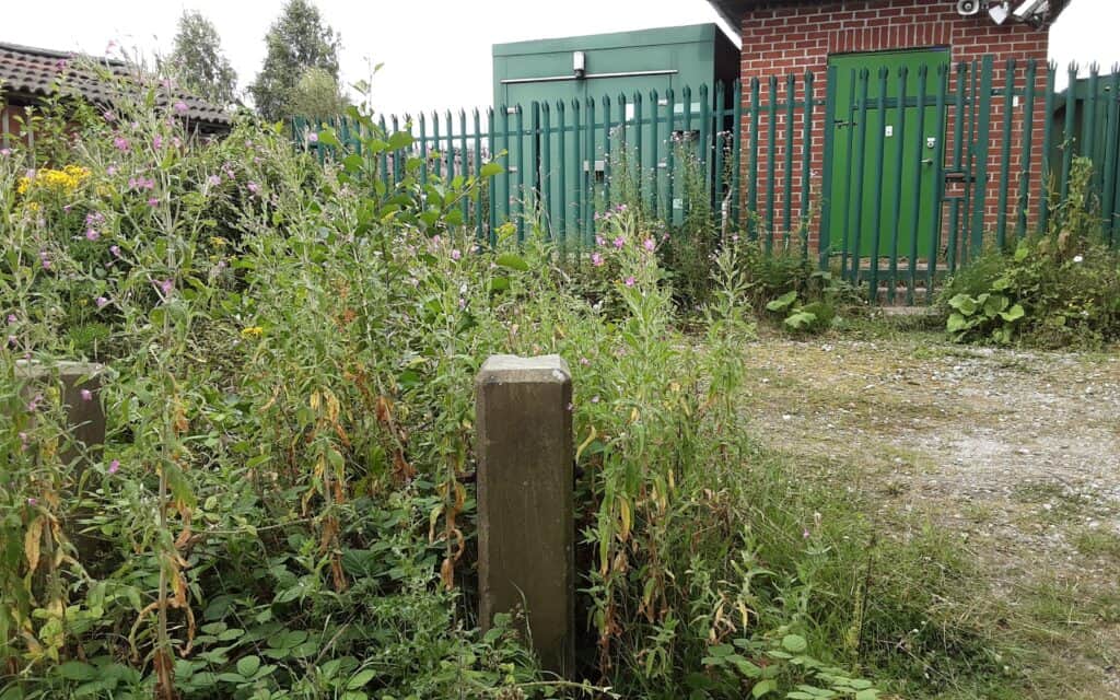
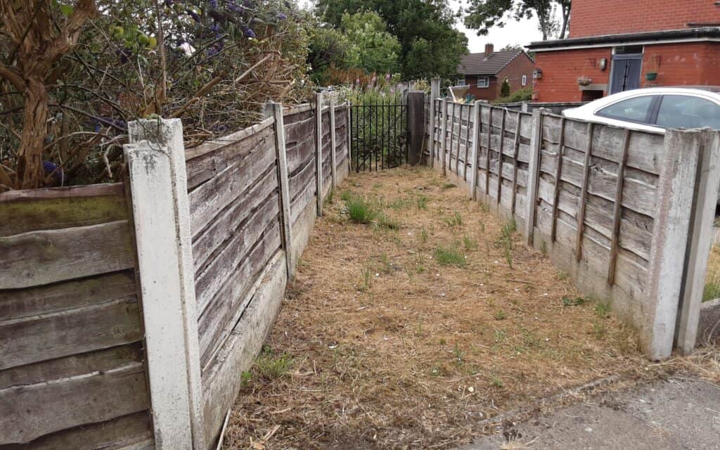
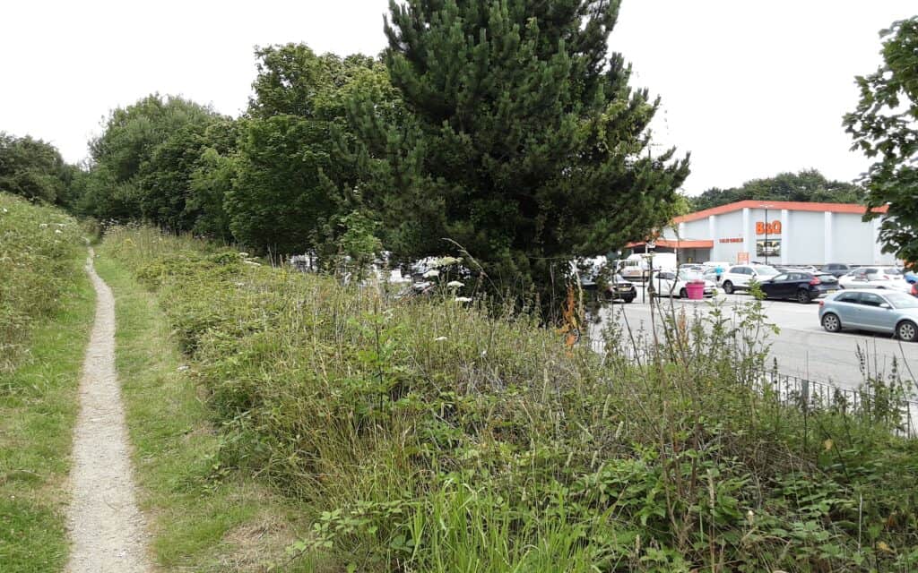
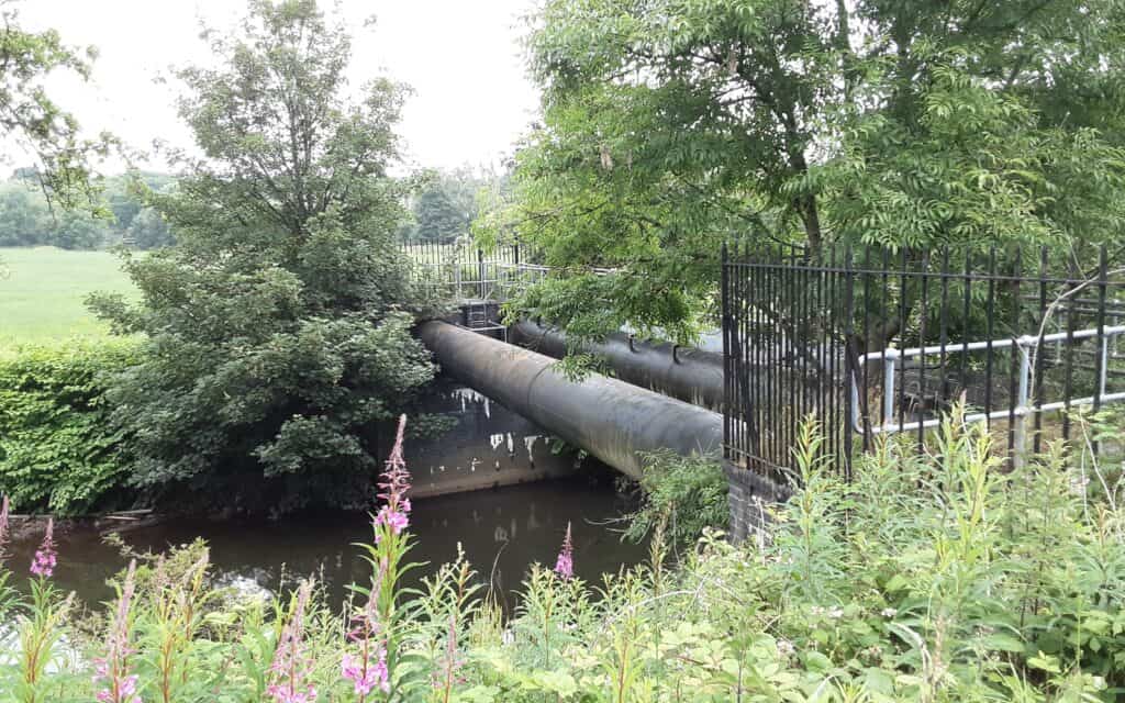
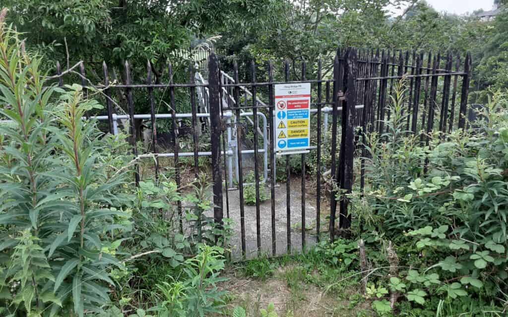
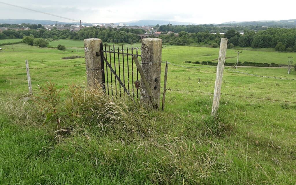
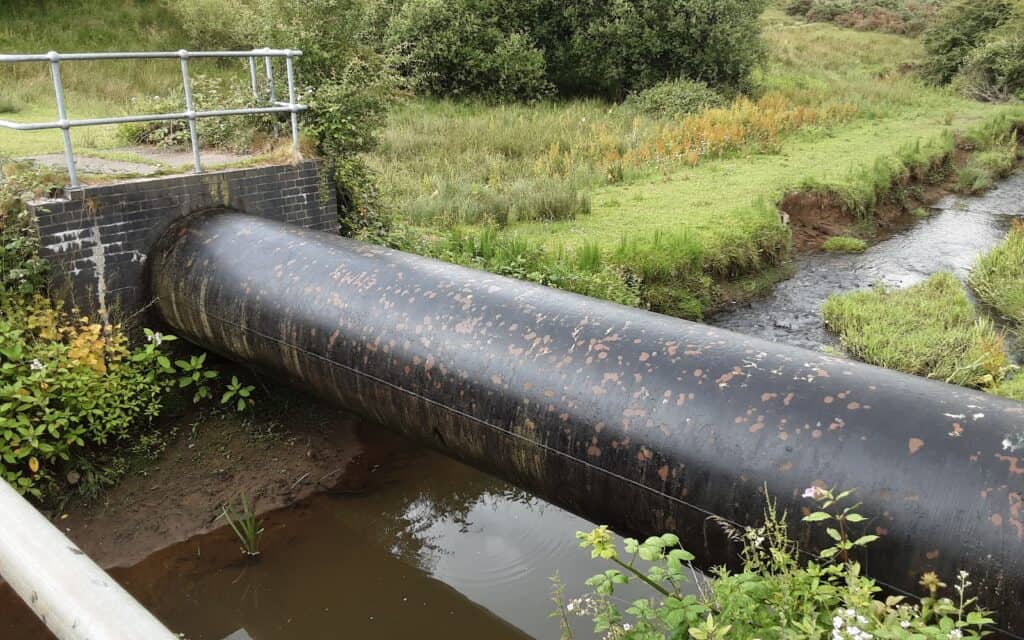
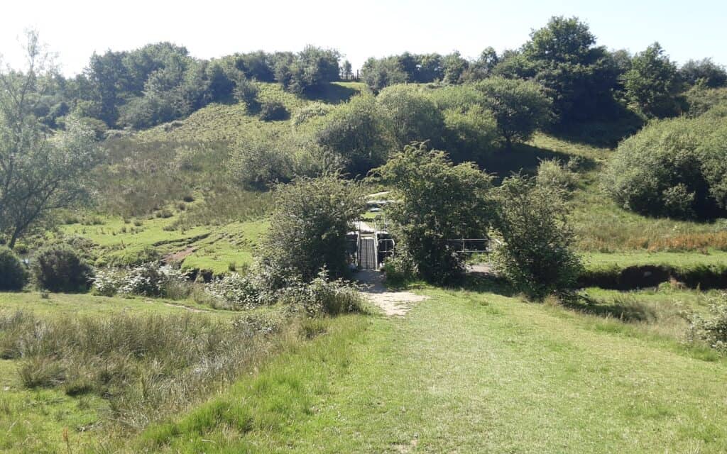
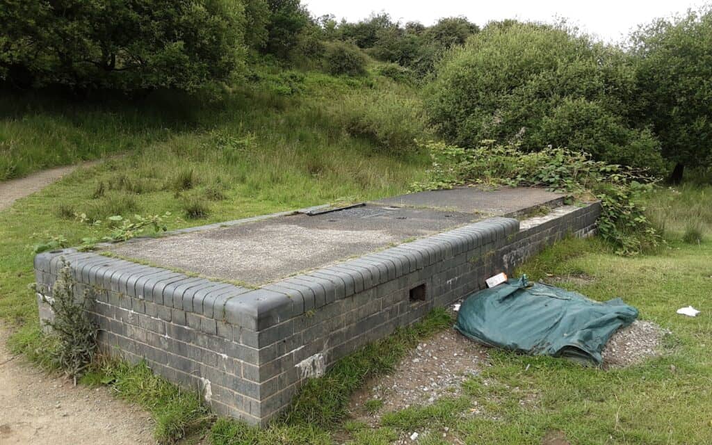
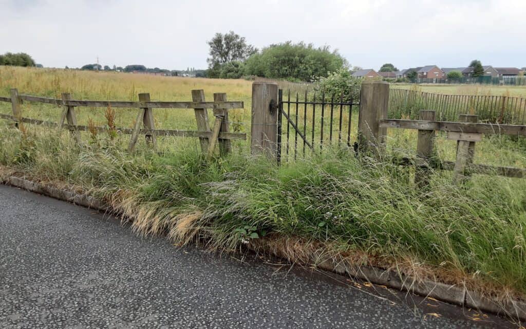
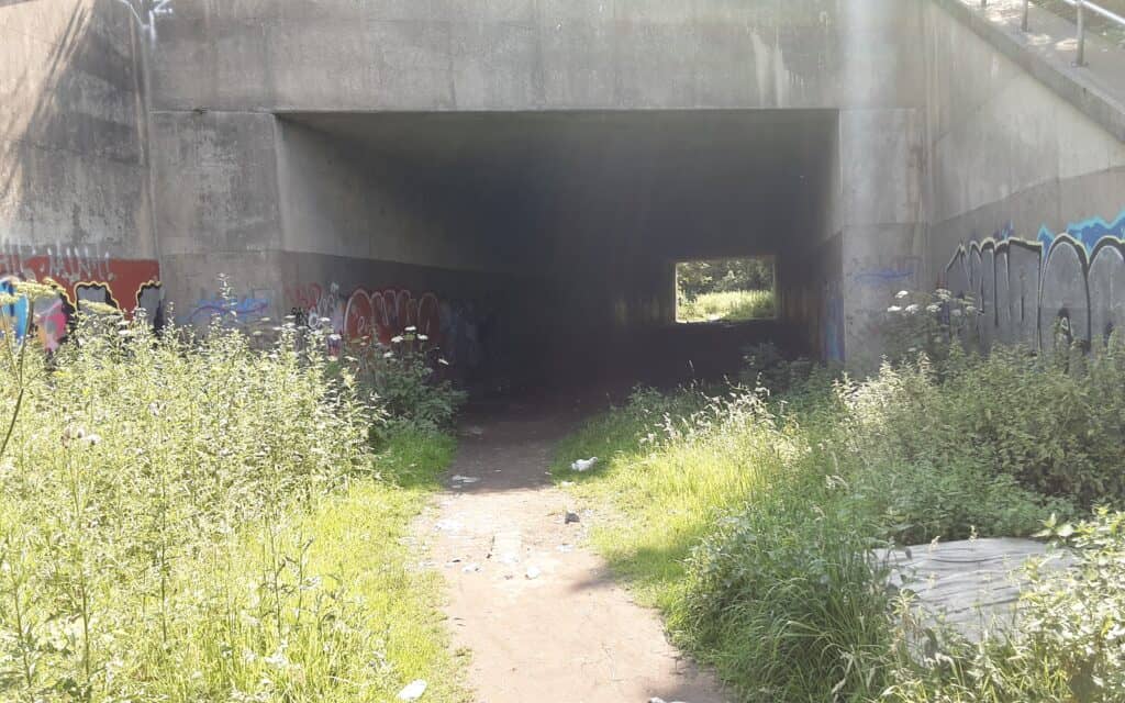
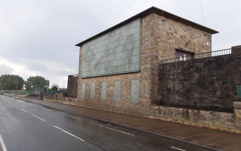
–
~
Episode V ~ The Mills of Cheesden Valley
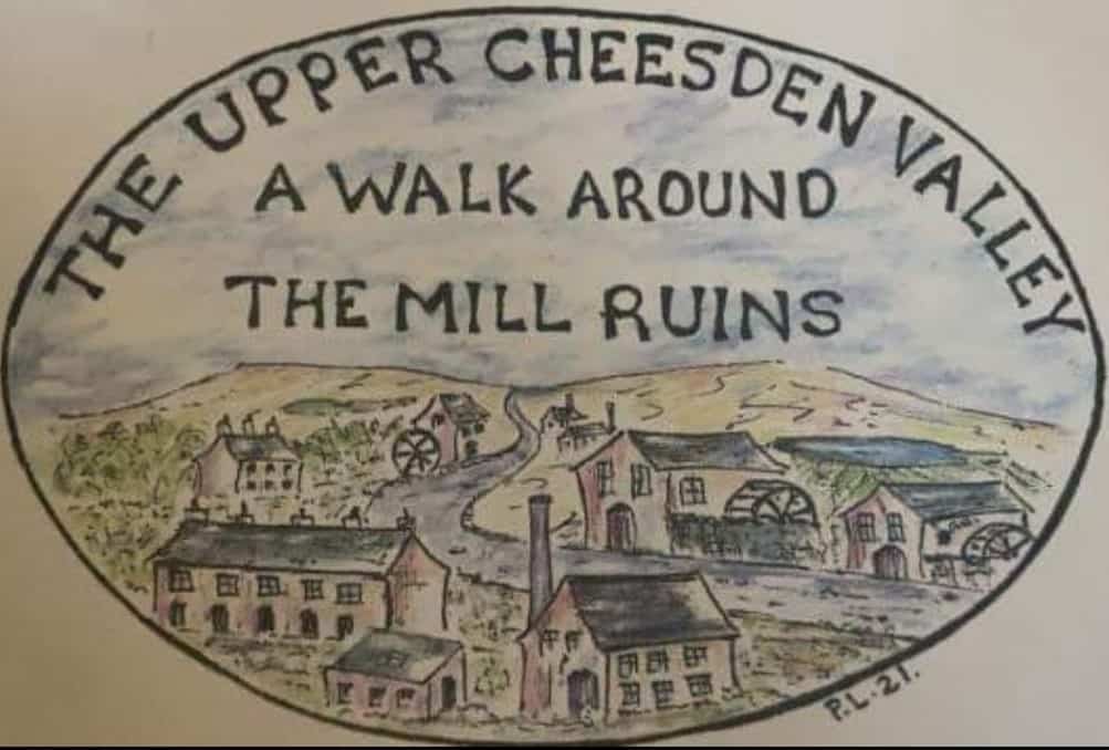
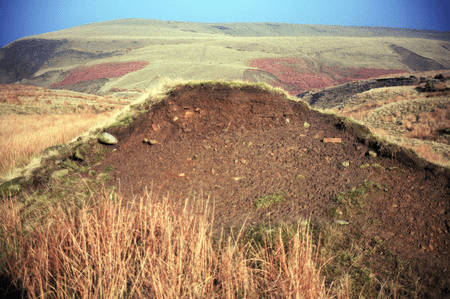
I have used this wonderful wild area for some years to teach navigation. Apart from its geographical draw, the millstone and peat land is ripe for exploration. It echoes with the scars of a time that predates the Industrial Revolution … a time of the cottage industry, when, for generations, hardy inhabitants often earned a living from a combination of farming and home weaving.
<<< A place on the map marked ‘Paradise’ has always intrigued me, especially an adjacent, dried-up lodge that, when first stumbled upon, guarantees to evoke a head scratch! This project offers to answer some questions.
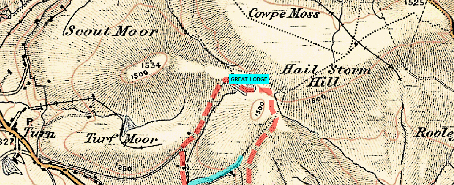
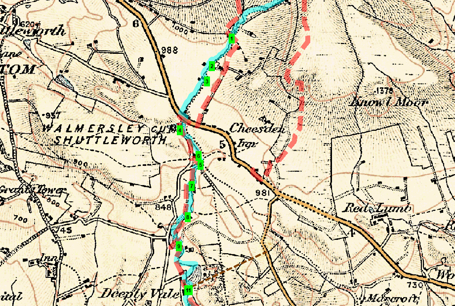
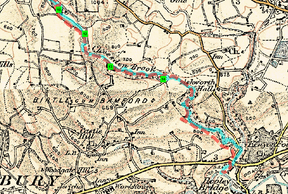
THE WALK … Cheesden Brook starts its life high up on Scout Moor and runs south for 6.5 miles meeting its larger neighbour, the River Roch, at Hooley Bridge. It once supplied water to some 15 mills dotted along its course and provided work for over 2000 people. This walk attempts to locate the brook’s source and follow its journey to identify what remains of those 15 mills. The story actually starts a little higher up the moor, at what was once the site of ‘The Great Lodge’.
Pre-Industrial History – signs of human activity in Heywood date back to about 8000 BC. Flints from the Megalithic period have been found in the Heywood, Cheesden Valley and Knowl Hill areas. All were discovered on high ground near a water supply. They are quite small and suitable for use as arrowheads and similar objects … it is likely bands of hunters, rather than early local settlers, left the flints.
Later, people who farmed this inhospitable countryside made a living by weaving … mostly wool from their sheep, using a handloom. Early mills were designed to supply yarn and provide ancillary services.
Mining – as early as 1580, Queen Elizabeth I granted one John Blackwall the right to mine coal in the Cheesden Valley. In addition, small communities (folds) may have had their own mines during the 17th century.
Mills – of the many mills in Lancashire, the first in our valley was probably erected at Kershaw Bridge in 1780 by Thomas Allanson. It was a fustian mill and may well have used Arkwright water frames(?).
“When the mills first came to Cheesden Valley they came not to challenge the cottage weaver but to help him, to provide him with a service and to offer him the facility of developing mechanisation”: Sandiford & Ashworth.
These moorland mills held their own for more than half a century against their big-town rivals, many finding a niche for themselves, as mainline competition increased, by developing as cotton-waste spinners. This involved recycling the inner core of yarn cops, which manufacturers had with starch paste to avoid the need for separate wooden bobbins. During the famine, caused by the American Civil War, these waste mills actually experienced a boom!
By the 1870s, the mills struggled to compete with the steam-powered economics of their massive rivals in nearby towns, and before the turn of the century, they had all but vanished. Many of the former mills, lodges and a solitary chimney, along with other industrial workings such as weirs and dykes, are still evident to-day.
THE GREAT LODGE AND 1 – FOUR ACRE MILL … the highest mill on Cheesden Brook was Four Acre Mill, a cotton mill built around 1810 at Cheesden Pasture, in the moorland northwest of Knowl Hill. It likely started life as a woollen mill, spinning and carding wool for weavers. A local farmer (and shrewd businessman), John Howarth, owned Four Acre Mill.
All these mills needed a steady water supply to turn their wheels; without it, they were simply at the mercy of the weather. Drought could lay off workers, while heavy rainfall called on them to operate the machinery (sometimes in the middle of the night!).
Howarth had the ‘Great Lodge’ constructed not far away at the marshy source of the Cheesden Brook. This lodge later provided a reliable head of water along the length of the brook and enough to install a 4-foot-wide, and 36-foot-diameter waterwheel at Four Acre. The lodge also served other millowners.

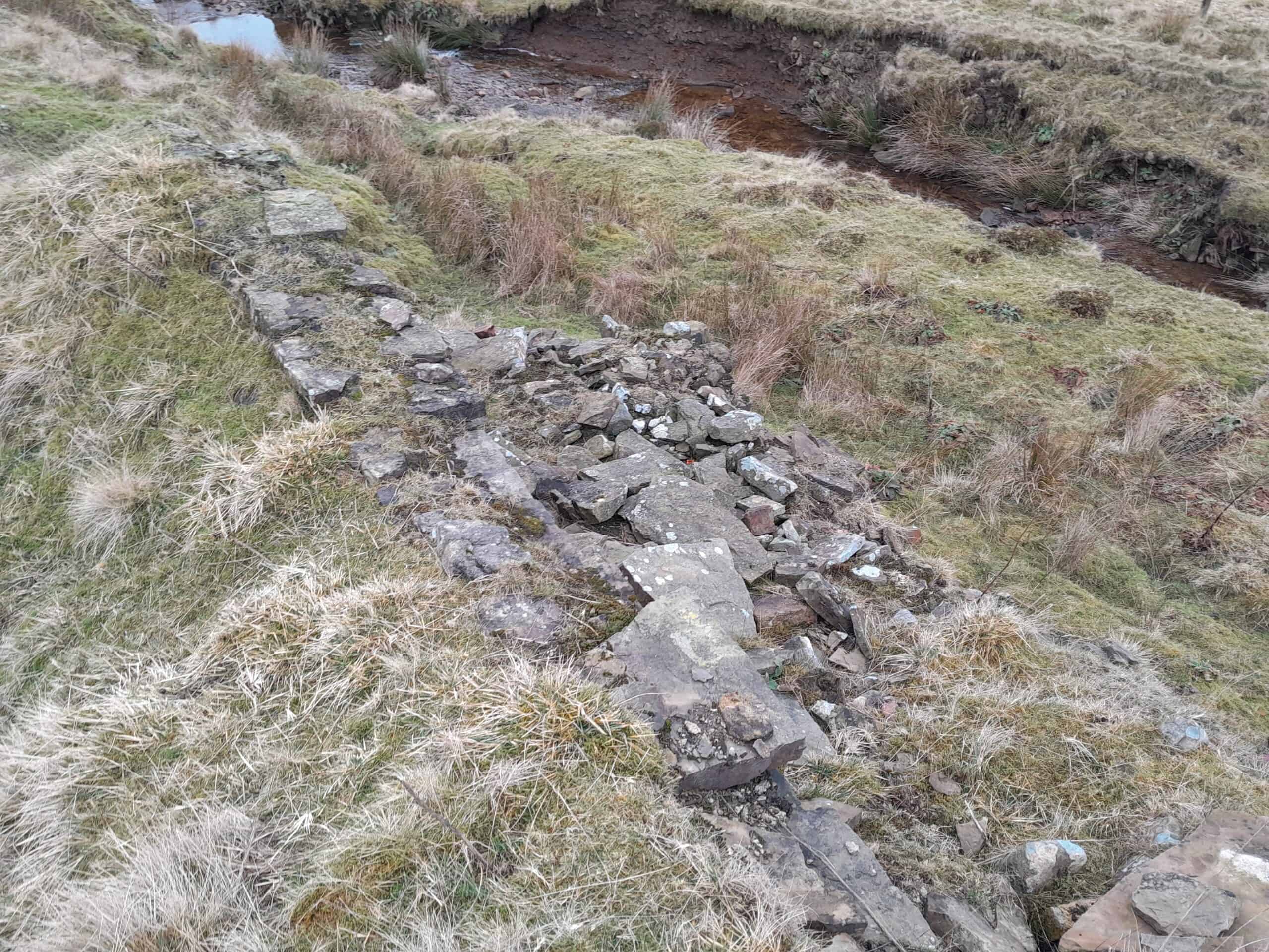
REMAINS … a low rubble wall / much-scattered debris / a hole might come from the tail race(?).
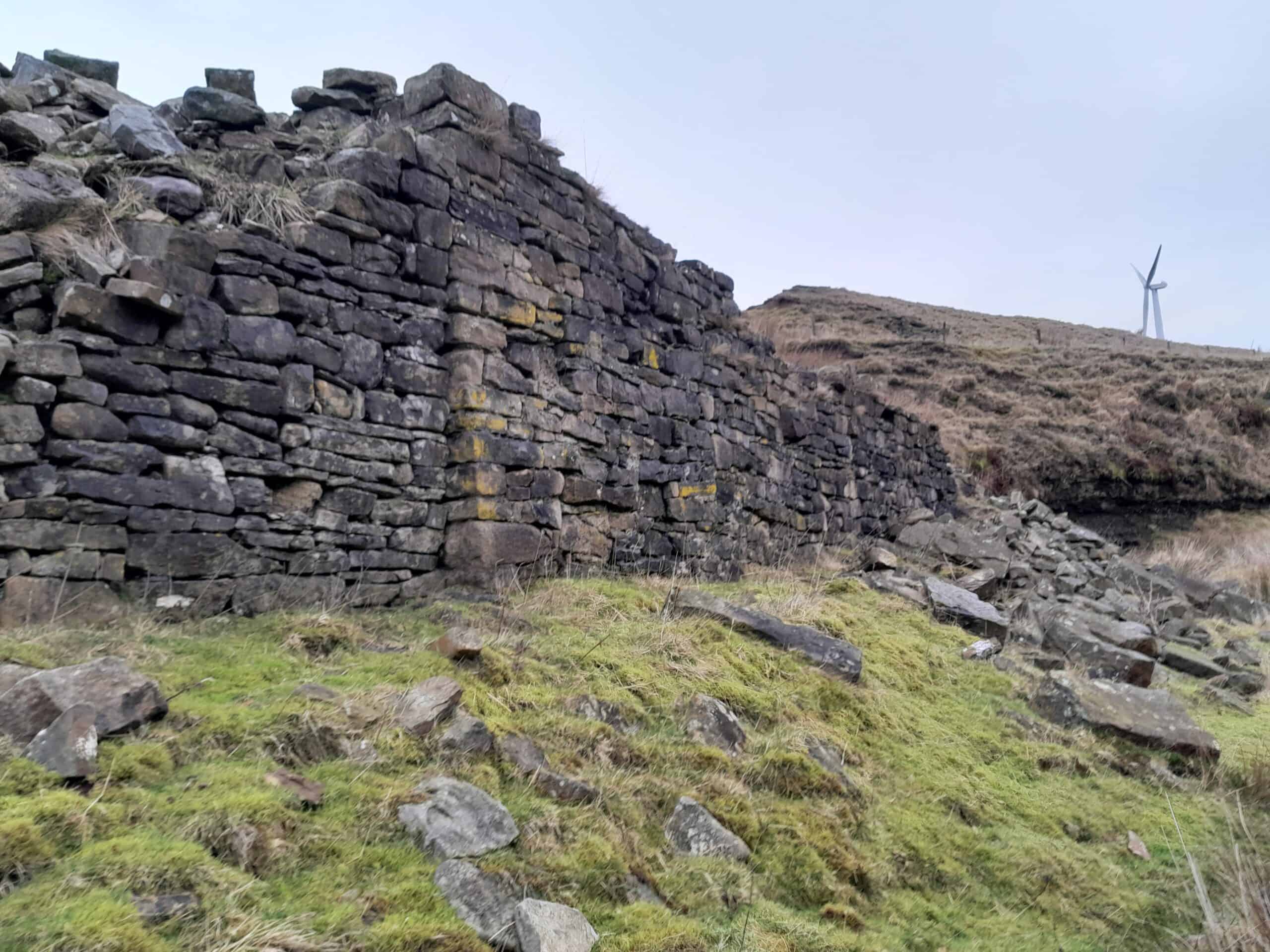
2&3 – CHEESDEN PASTURE AND LOWER PASTURE MILLS … located a few hundred yards downstream were two mills built by the Ramsbottom family. … the Cheesden Pasture Mill (circa 1810) and the smaller Lower Pasture Mill (open by the mid-1830s). The first mill initially spun and carded wool for domestic outworkers, but by 1838 was spinning cotton. Lower housed ‘devils’ for breaking up the cop bottoms with a rotating toothed drum. These two mills were not powered by the Cheesden, but instead by reliable springs which kept their lodges well supplied. At one point Cheesden contained 3-4000 spindles and employed about 40 workers. They built a row of nearby cottages to accommodate them. One room in the mill served as a day school. Lower employed a further eight. By the end of the century, however, both Four Acre and Lower Pasture mills were no longer in operation.
REMAINS … CHEESDEN – a dried-up lodge (often water can be heard trickling from underground streams which once served the lodge), extensive walling and rusting pipework >>> LOWER – all evidence appears to have been eradicated by the later work of the Water Authorities / a nearby outcrop of land reveals clear evidence of coal seams (abundant in this area) used in later years to power the mills’ steam engines.
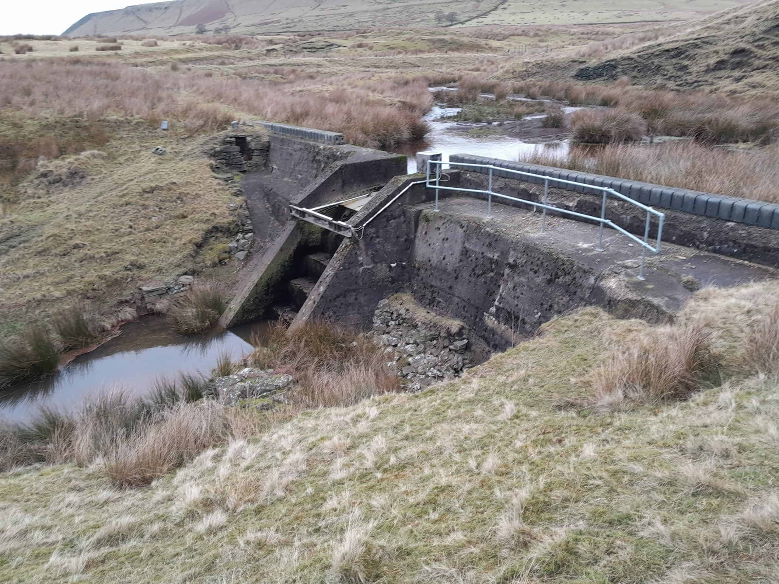

A seemingly out-of-place concrete ‘hut’, clearly from the 20th century, entices inspection. Further research suggests it is a “vernacular shipon”, but it must have been for the water works, as the mills had closed by the late 19th century(???).
EDENFIELD ROAD … in 1795 the Ashworth Moor Road became a turnpike between Edenfield and Rochdale and a toll bar was established at Cheesden Bridge. The new road replaced a hitherto devious route, and no doubt eased the transport of wefts and the return of finished cloths from the district’s cottage weavers.
4 – BRIDGE MILL … the next mill downstream, by what is now Edenfield Road, was Bridge Mill (aka Cheesden Bar… after the nearby toll). It opened in 1840 as a two-storey building, used at one point for woollen manufacture upstairs and cotton spinning downstairs. It later made waste twills and calicos and closed in 1898 after the landowner, the Earl of Derby, sold the water rights to construct the nearby Ashworth Reservoir.
REMAINS – nothing remains of the mill edifice, but the outline of the lodge behind it can be identified / some interesting culverting can be traced from the lodge site, forming an ‘L’ shape across the fields of Wham Hill Farm.

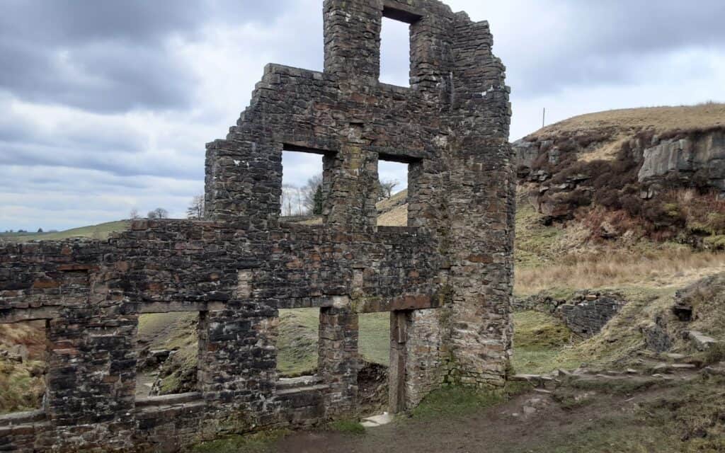
5&6 – CHEESDEN LUMB LOWER AND UPPER MILLS … Lower (aka Ailse O’Shoddy’s … this was the nickname of Alice Ramsbottom for the cotton waste spun at her mills known as ‘shoddy’) was built as a woollen mill in 1786 … a fulling mill (cleansing of woven cloth) that turned woollens into felted materials. John Kay operated it (not the same John Kay who invented the flying shuttle). In 1789 it was advertised for sale in the ‘Manchester Mercury’. In 1809, an advert listed it as having a perching mill (inspecting cloth before finishing), blueing house (improving the appearance of textiles), teaster (testing), belonging tenters (stretching and drying the cloth) and a stove house where sulphur dioxide fumes bleached woollen cloth for blankets. They also introduced a carding engine during this period. The 1848 OS map marked it as a woollen mill, but later it became a cotton waste mill, then a lamp-wick manufacturer. In 1898, it closed after the water rights were sold to build the nearby Ashworth Reservoir. Upper(aka Mr John’s) was a 50-loom cotton spinning mill built in 1845 by John Ramsbottom. He was a well-liked amiable man (hence the nickname). It kept production alive during the American Civil War by recycling available cotton waste to produce a coarse spun fibre cotton yarn.
REMAINS … LOWER – all that remains are a three-storey section of wall, the wheel pit, a waterfall still flows out of a rounded arch at the base of this … the Cheesden Brook flowing from beneath the mill. / the wall was rebuilt in 1990 by the Conservation Team of the Greater Manchester Archaeological Unit, at great cost, funded by the then North West Water >>> UPPER – little left.
A nearby supply road is still visible; it would once have been thronged with packhorses and carts.
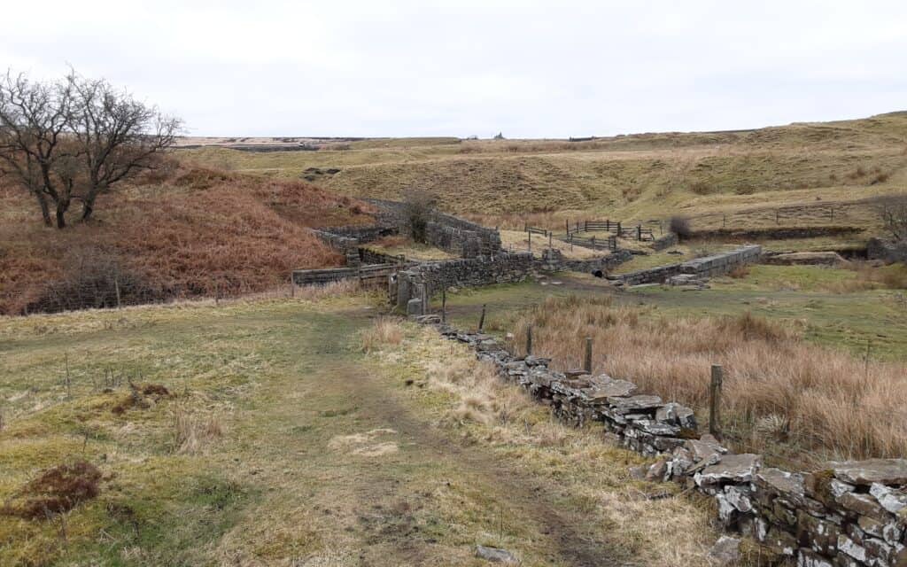
7&8 – CROSTON CLOSE UPPER AND LOWER MILLS … Upper(aka Middle Bottoms) was a cotton mill opened by 1810 but was probably established as a woollen mill, spinning and carding wool for nearby cottage weavers. Another mill, owned by Croston Close farmer John Howarth, employed workers at these small valley mills who were, like the owners, from local farms. It was closed in 1898 after the water rights were sold for the construction of the nearby Ashworth Reservoir. Next to the mill was a row of cottages (small by to-day’s standards) to house up to 11 inhabitants, including lodgers who worked in the mills or adjacent coal mines. Some were still occupied in 1922, long after the mill had closed. Lower (aka Lower Bottoms) was directly below Upper. George Howarth (John’s brother) owned this woollen mill, which opened in the 1830s. The “new mill” here was reportedly partially washed away by the 1834 floodwaters and had to be rebuilt. About 40 people lived here in cottages. A slab-lined flue was built from the boiler house to a chimney situated on the hill above … it is said that the flue was at one time used to carry away fumes of an illicit whiskey still which operated there!
REMAINS … UPPER – the flag-lined flue is visible rising up the hillside to carry away the fumes / a tunnel that the mill was built over can be seen / as can the original pit wheel adjacent to the lodge which still holds water / evidence of the row of cottages >>> LOWER – one of the pit wheels
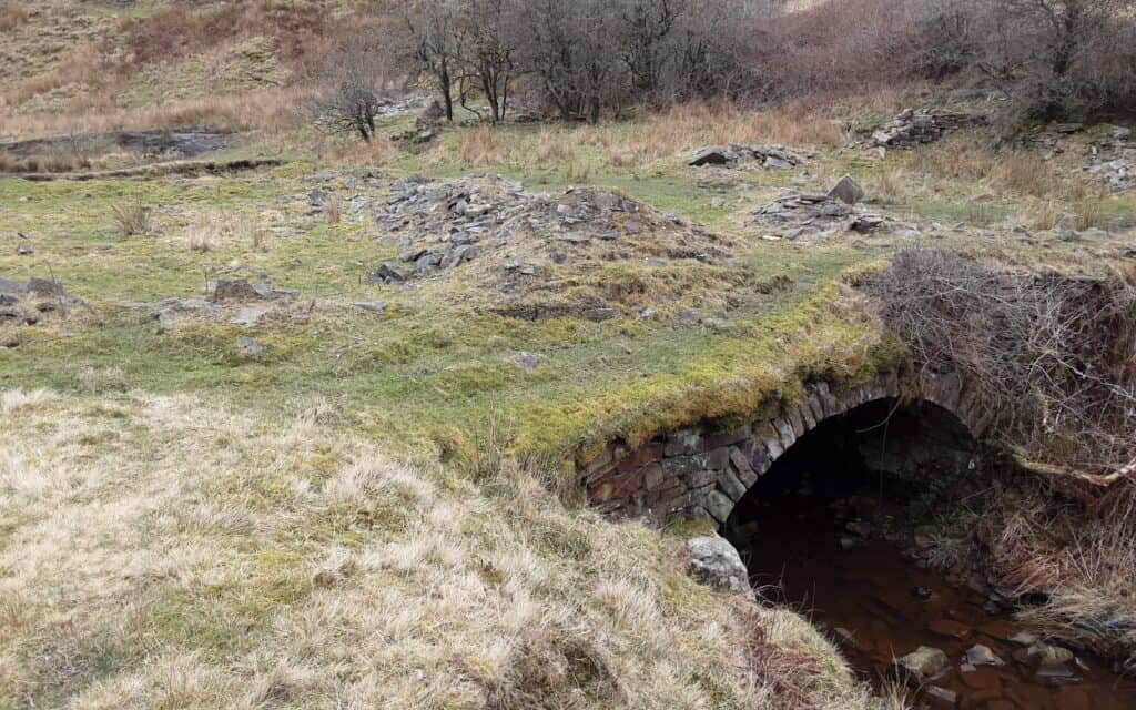

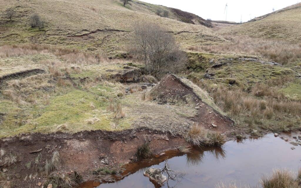
9 – LONG LAND MILL … Long Land (aka Longlands) was opened as a cotton mill at Buckhurst circa 1838. Barlow & Jones took ownership in the 1880s and probably converted it to a new process of cotton waste spinning around that time. They had several mills in Bolton, where waste was readily available. Longlands was more modern than neighbouring mills and was powered by both water and steam. It even produced its own gas for lighting not only the mill but also the nearby schoolhouse. It had ceased production by 1893.
REMAINS – all trace of the mill has disappeared; only a few brick walls and the lodge remain. Like other mills, people probably removed the stone for other building projects in the area, possibly for the construction of Ashworth Reservoir(?).
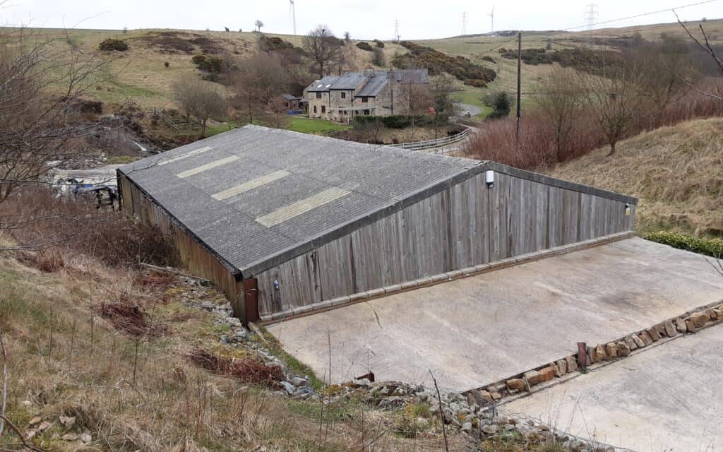
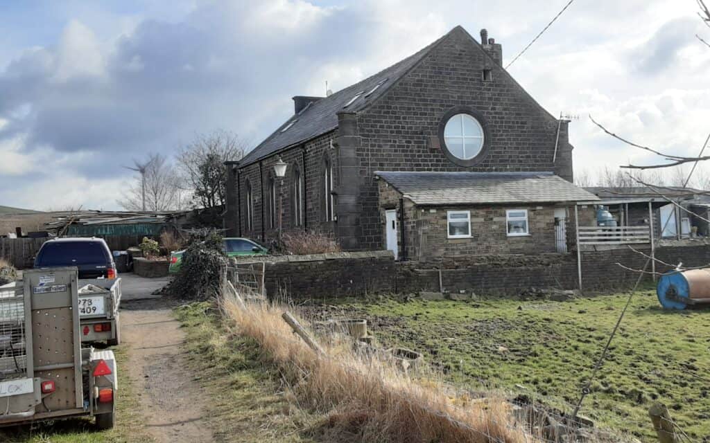
10&11 – DEEPLY VALE LOWER AND UPPER MILLS … Deeply Vale Lower (aka Cob House Nab Mill) was established in 1801 by Daniel & Kay as a cotton-finishing mill. It was two storeys high, and by 1813 the surrounding 30 acres of land contained reservoirs, drying houses, dye houses, stables and a colour shop. The storm-swollen brook washed away the mill in 1828. While it was being rebuilt, the new owner, Mr Earnshaw, was killed when he fell into the gearing!
Deeply Vale Upper (aka Deeply Hill) developed on Deeply Hill, a few hundred yards north, in 1834, probably as a cotton waste spinning mill. Here lay one of the heaviest concentrations of housing in the valley … 32 houses in four rows (surviving until the 1950s), plus the ‘big house’ at the top of the hill … this is where the mill manager lived!
In 1843, both mills combined to form the Deeply Vale Printing Co.By 1846, it had two printing machines and 100 hand block tables for making three, four and five different colours … they printed on calico (unprocessed cotton).
In 1867 the two mills split again; Upper passed into the ownership of Thomas Hardman & Sons of Bury and became known as Hardman’s Mill. In 1870 it embarked on an entirely new venture, breaking the industry’s pattern by turning to a product closely allied to cotton … paper, and became Deeply Vale Paper Mill. However, the 1891 OS map marked it disused.
Both mills were supplied with coal (to feed their steam engines) from Wind Hill Colliery, via a tramway that crossed the moors. It eventually reached the mills in waggons (carriers) over a wooden trellis viaduct and an overhead rope-and-pulley system … very ingenious for the time!
REMAINS … LOWER – extensive remains are evident below the dam wall of the mill / reservoir / cobbled lanes / bridges / conduits / wheel pits. >>> UPPER – very little.
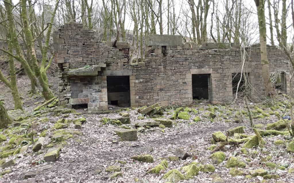
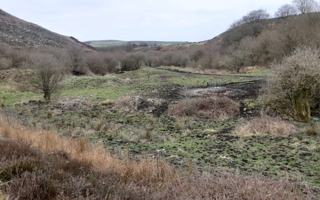
Traces of the Wind Hill Colliery to Deeply Vale Tramway …
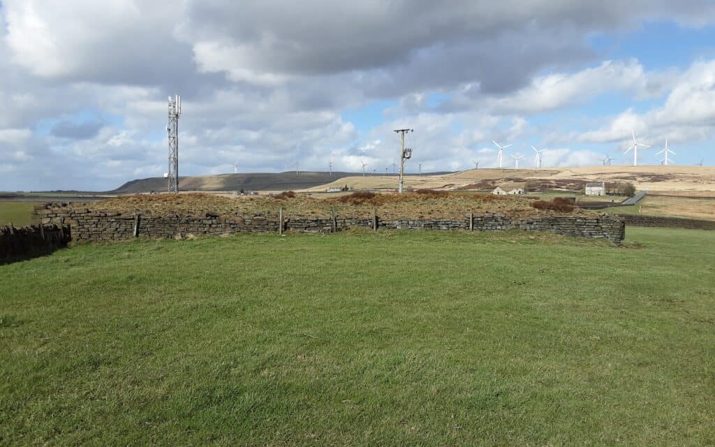
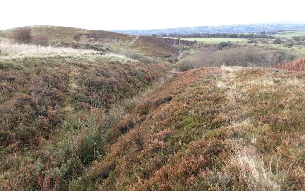
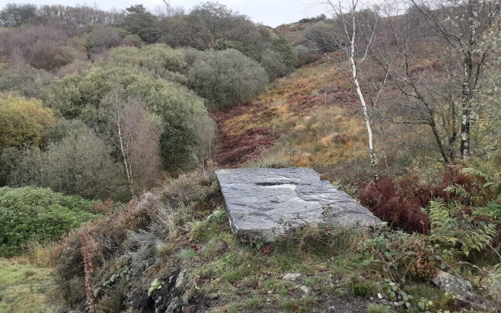
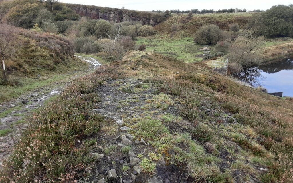
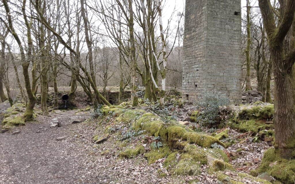
12 – LOWER WHEEL MILL … Lower Wheel Mill (aka Washweel / Almonds) was just below Deeply Vale and 2/3 the way down the valley. It was built in the second half of the 19th century for bleaching and dyeing. Joseph Shepherd took it over in the 1880s to bleach cotton waste. In 1919, this became the last mill in the valley to close.
REMAINS … chimney stack / corroded remains of the pipe that linked the mill’s lodges / stone becks used to hold liquors that once held around 400 gallons of solution.

13 – BIRTLE DENE MILL … was a large complex built in 1824 and owned by the Ramsbottom family for most of its life. This was a full-scale four-storey cotton spinning mill and weaving shed. The mill produced its own gas and was powered by a large waterwheel and auxiliary engine. Thomas Ramsbottom also owned three coal mines above the mill. It was built in a narrow, steep part of the valley, which made access difficult. Workers hauled goods up the slopes using a windlass; then stored the woven cloth in a building before transporting it to Manchester’s merchant houses. The mill site also had three rows of cottages built for the workers. The Ramsbottom family ran the mill until 1890; Goulden, Adams & Co took over until it closed at the end of the century. Perhaps if the mill had been located closer to the nearby town, with better communication links, it would have survived longer(?).
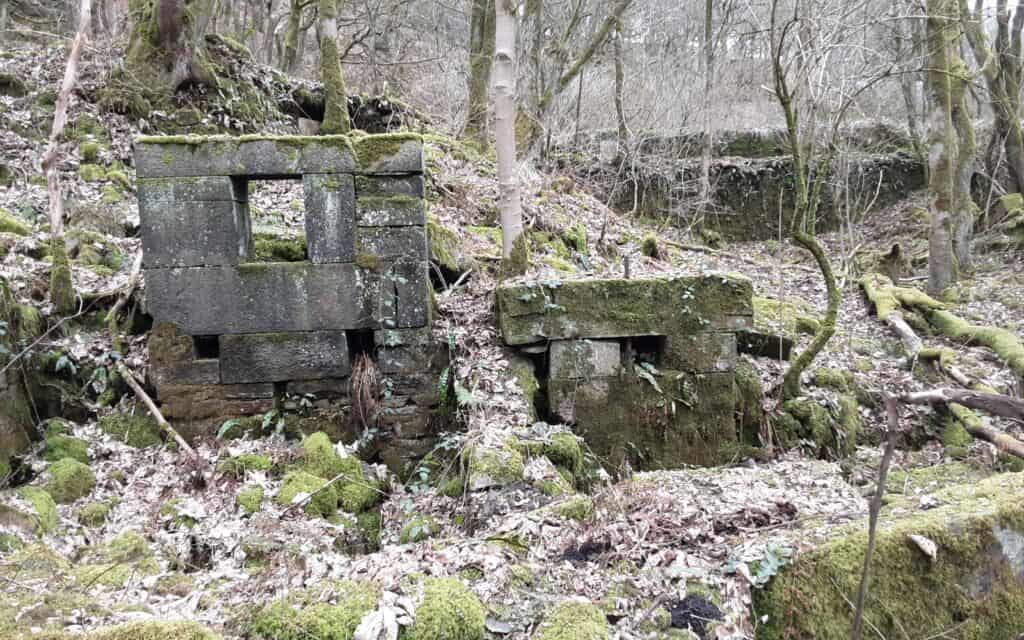
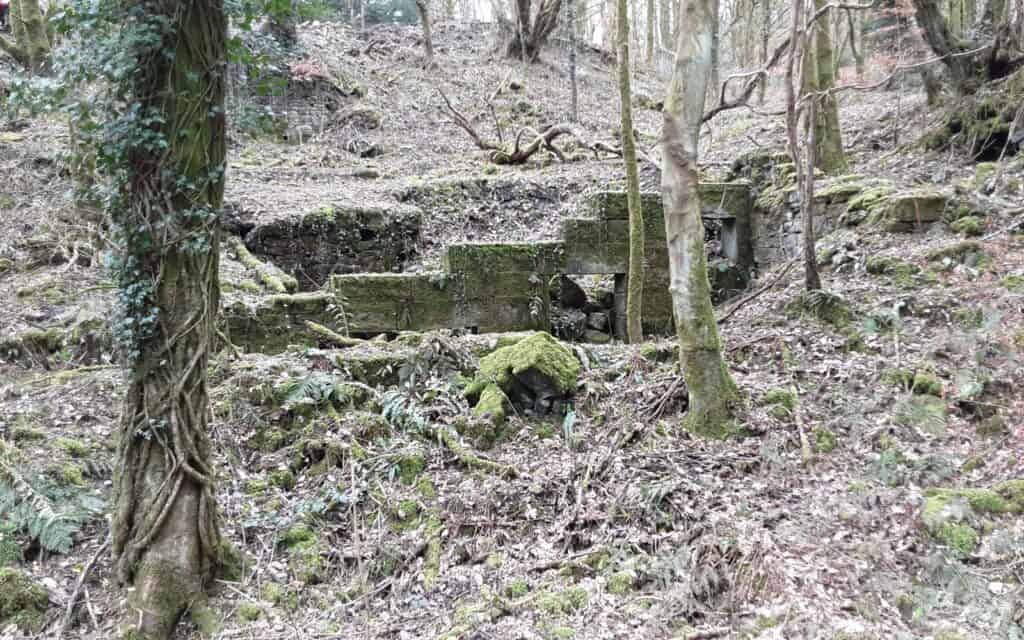
14 – KERSHAW BRIDGE MILL … Kershaw Bridge Mill(aka Nab’s Wife) was a fustian mill built around 1780 by Thomas Allanson, and probably employed about 10 people. By the 1840s, the mill was a dye-works, but in 1845 the Whitehead family took it over and converted it for cotton production. In the early 1850s, it became the first mill in the valley to cease production. Kershaw Bridge itself was once on a packhorse route.
REMAINS … only the pit wheel / lodge.
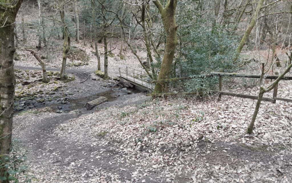
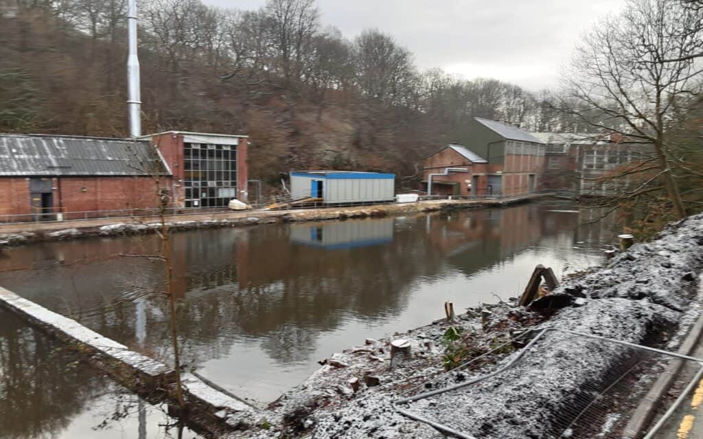
SIMPSON CLOUGH MILL … this was still an active (paper) mill until as recently as early 2023 and, although not strictly speaking included in this project, merits a mention. It stands at the foot of Ashworth Road where the waters of the Cheesden and Naden Brooks meet. Its origins are obscure, but it is thought to have started as a fulling mill. Towards the end of the 19th century, Barker Bros bought it and expanded it for bleaching, dyeing and finishing cloth. Waggons took the finished cloth to Manchester warehouses, the first leaving at 6 am and the last returning around 11 pm every day. It is said that they had 16 cart horses, which they stabled on the opposite side of Bury Old Road.
>>>
SOURCES OF INFORMATION ~ “The Forgotten Valley” by Sandiford & Ashworth
ACKNOWLEDGEMENTS ~ Donna McHugh from Buckhurst Lodgeside Cafe / My Support Team: Mareks, Gatis and Jon
I would like to express my utmost thanks to Peter Lane … for his valued support, inspiration and artistic genius.
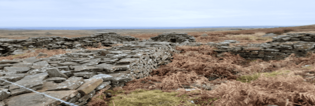
This project is dedicated to the folk who lived and worked in this special valley.
If you would like to know more about the Upper Cheesden Valley, there is an excellent video by Malc Greenwood ... https://youtu.be/kRi7IhfkiRQ?si=A2bt18u3vHGGagW3
>>>
CROSS REFERENCE ~ Walk 4
~
Episode VI ~ The Vanishing Moors of Heywood
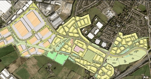
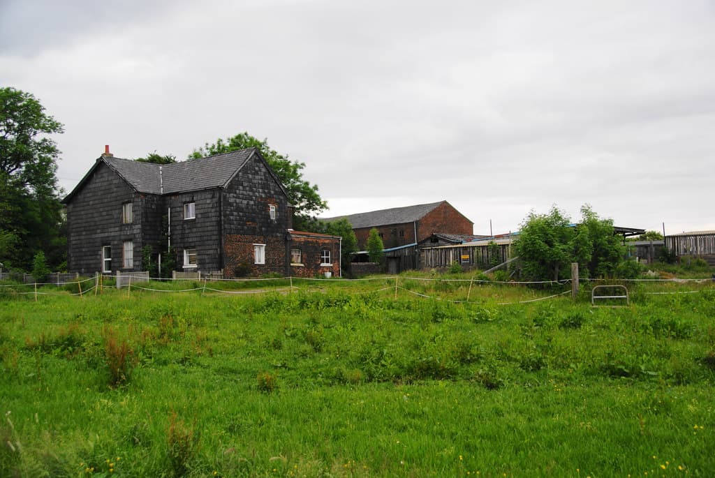
Before the bulldozers move in, I felt the need to put ‘finger to keyboard’ and make some sort of record of this unassuming corner of our town. Straddling either side of the new South Heywood by-pass lie two moors … Siddal Moor and Pilsworth Moor. Siddal has been drained and farmed over the centuries, whereas Pilsworth appears to have been left mainly untouched and much of its natural, wild beauty remains intact. Nestled neatly between the two stood Hares Hill Farm, a dairy farm that dates back to the 19th century … it stands no more!
I most definitely had my old ‘Inspector for Footpaths’ cap on when I produced this 3.5-mile circular offering, for there is a woeful lack of signs and waymarkers and scant regard for preserving our walking heritage along the route.
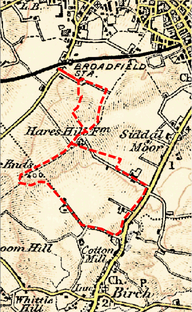
THE WALK … starting at Broadfield, the walk wends its way through Hares Hill Business Park. Due to the signage absence issue, the only people who appear to be aware of, and therefore use, these paths are estate workers and local schoolchildren … oblivious to their relevance en route to their respective destinations. This demonstrates how Rights of Way and industrial estates sit (uncomfortably) side by side. It may indicate what is in store over the road, with the future development(?).
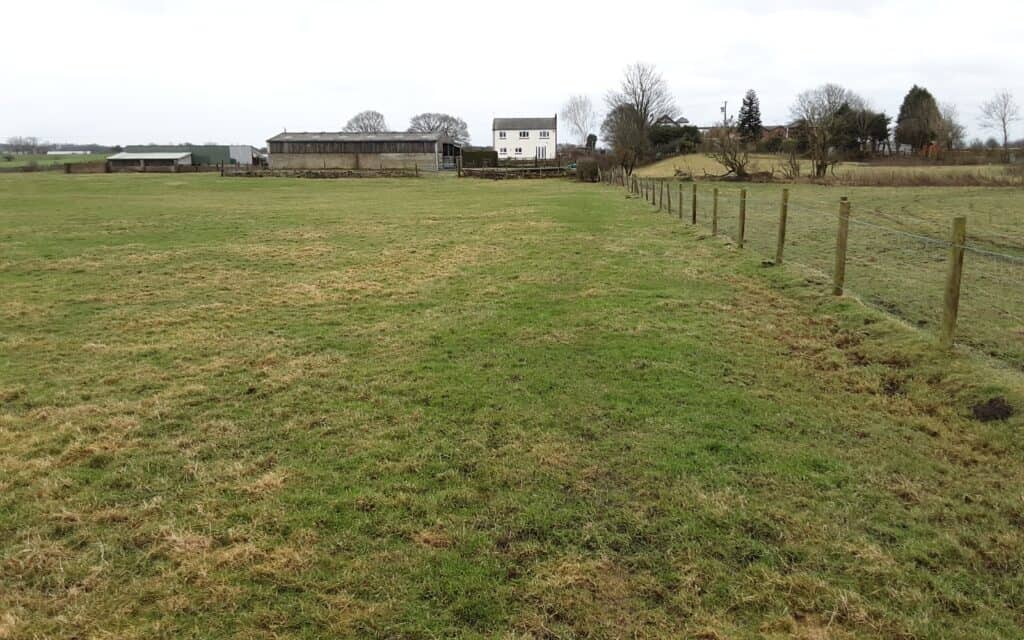
Breaking out of the claustrophobic commercial maze, the refreshingly open expanse of Siddal Moor suddenly comes into view. The farm foundation remains, making for an absorbing, if not sad, study. Over the bypass and more obstacles, Pilsworth Moor now beckons. This is not an Open Access area, so stick to the footpath, which slices through the moor. A good-intentioned straying on my part was required to capture some photographic evidence for the record books. Apart from the scars of some gas pipeline laying, the moor is largely untouched … the only sign of life is a large herd of roe deer (a wonderful sight!). Some old sandstone quarry workings lie to the west, but nature has completely obliterated any evidence of them now.
Just as the route sucks you deeper into the unknown, and well out of sight of ‘civilisation’, it abruptly changes direction … over some lush pasture land and towards Birch. Stock Nook and Doctor’s Fold add to a nostalgic feel to the walk, before a refreshment stop … courtesy of either Birch Farms or something a tad stronger at the Gardeners Arms.
The new pristine bypass is a surprisingly pleasant experience to walk along (or cycle) … I am sure it won’t stay pristine for long!!!
~

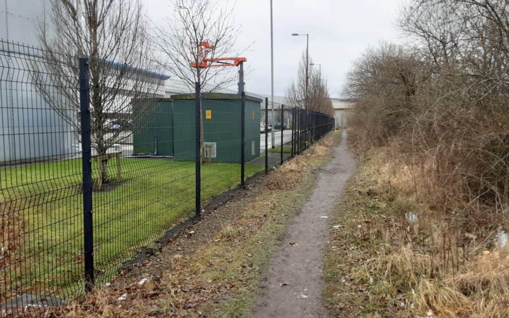
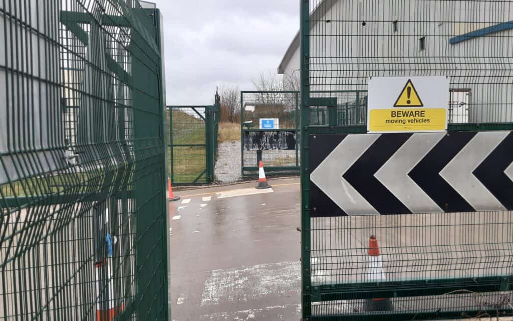
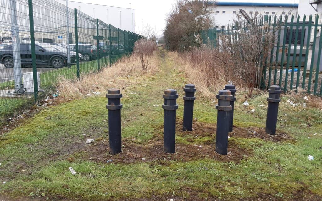
Hares Hill bridleway > Rare helpful signage! > Can we go down there?

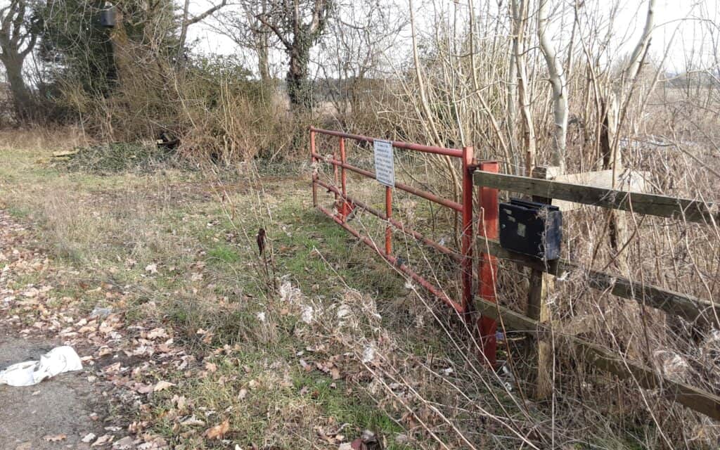
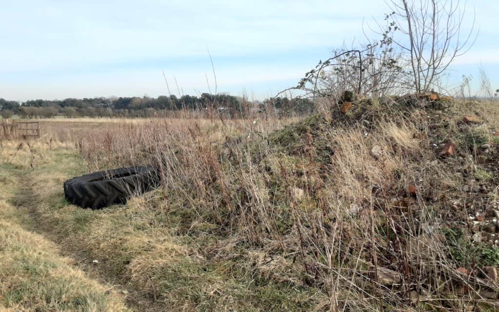
What is left of Siddall Moor > Entrance to Hares Hill Farm > The farm
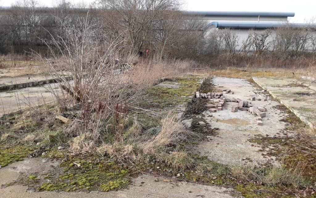
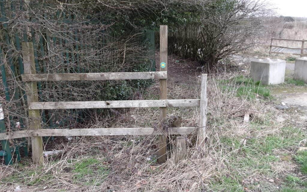
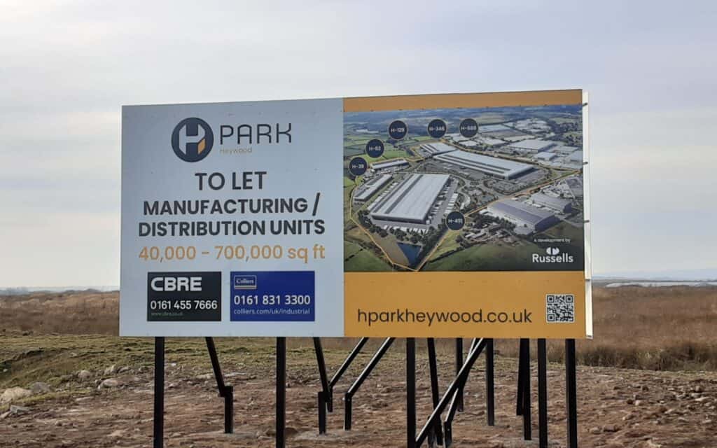
Cowsheds(?) > Respecting our stiles … NOT! > The future!
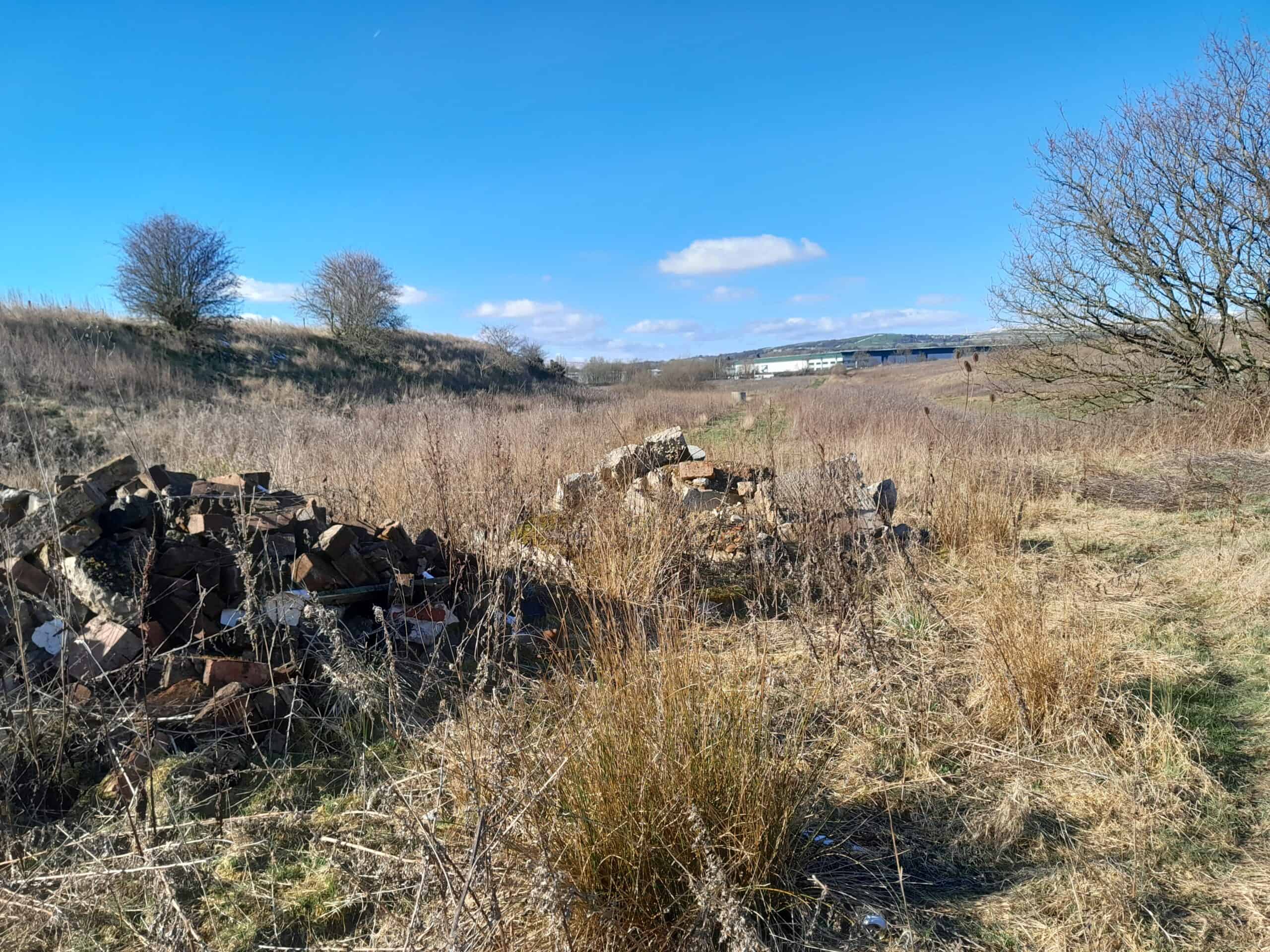
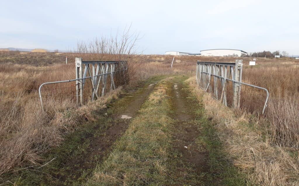
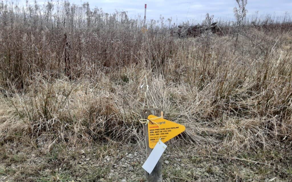
Hidden valley … old sandstone quarry > Service track bridge > Gas pipeline warning
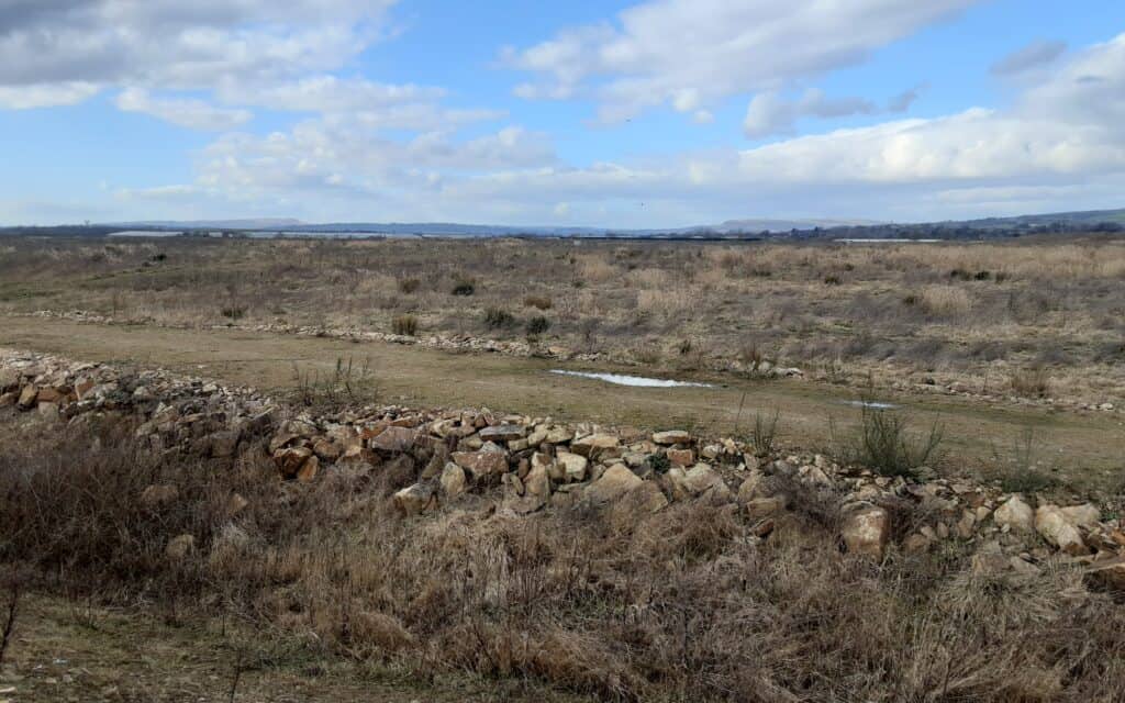
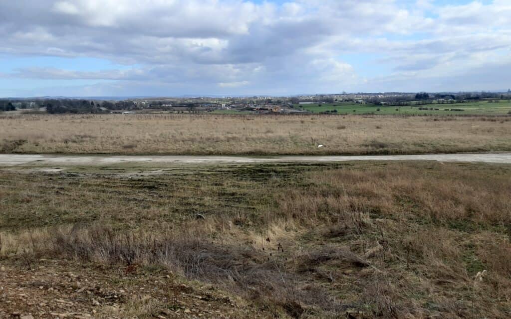
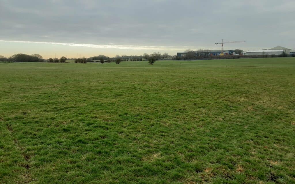
Pilsworth Moor > Pilsworth Moor > Pasture land
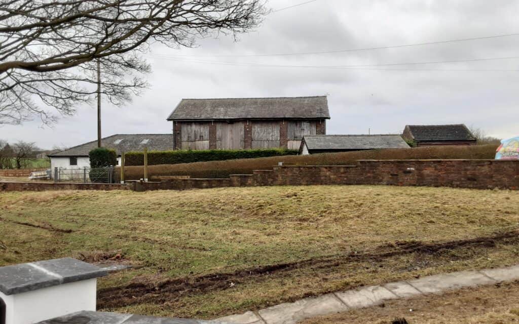
Stock Nook > Old barn > Refreshments, anyone?
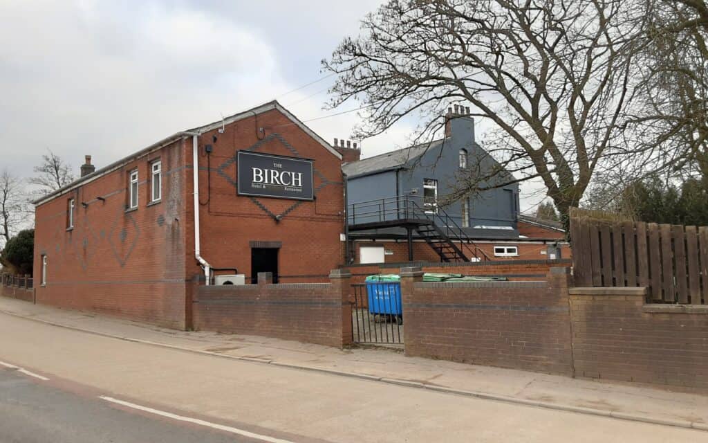
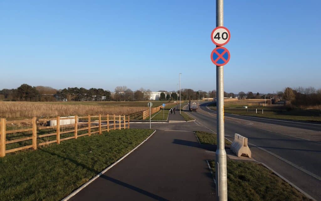
Doctor Fold > Birch House > Queen Elizabeth II Way
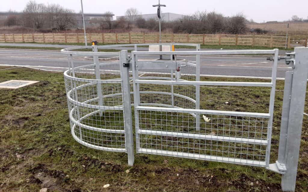
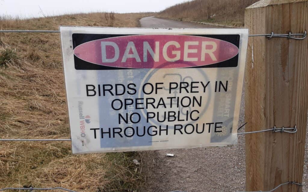
Future road crossing and access point > Wild or captive? > Masterplan!
Another priceless video (2020) … the haunting remains of Hares Hill Farm by No Limits Urbex …
>>>
ACKNOWLEDGEMENTS: Gatis Odins / John Mitchell
>>>
CROSS REFERENCE ~ Walk 3 & Cycle Route South
~
Episode VII ~ The Cragg Tramway
When you roam the moors south of the Rossendale Valley, the huge scars of quarrying clearly show this area’s industrial past. At first glance, it’s hard to see that an ingenious tramway (mineral railway) snaked across the windswept landscape to serve those quarries. Even harder to imagine are the steam engines that ran on a narrow-gauge line with heavy loads in tow … time to uncover the story!
THE WALK … to achieve a linear route, you need a train to the start point and a bus back to hometown Heywood.
From East Lancs Railway Station in Rawtenstall, a short pleasant riverside stroll leads to Clough Fold, nestled in the Rossendale Valley.
There is no direct access up onto the moors (where this particular mystery starts), so a short diversion via Hill End Lane solves the problem. Hereon, the definition of the tramway line and its spurs are easy to trace. Public footpaths run very conveniently along the course virtually all the way … enabling uninterrupted contemplation of the magnificent wild surroundings.
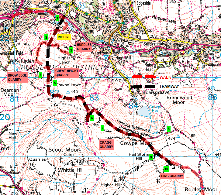
A series of quarries play a strategic part in this unfolding story, linking them is as rewarding as it is straightforward … Hurdles > Brow Edge > Great Height > Cragg > Ding.
The tramway ends in the desolation of the Pennines (Ding Quarry). Careful navigation is required for reunification with ‘civilisation’ (ie the village of Norden) … and a bus back to Heywood (but not before enjoying a pint or two!).

HISTORY… stone has been quarried in Rossendale since at least the 14th century and probably long before that. Before 1770, most quarrying was small-scale and took place near where it was needed. Farmers who required stone for a building or the countless drystone walls would find an outcrop and take what they needed. In reality, Rossendale stone was in great demand locally and further afield from early times. This stone split easily into thin sheets, making it suitable for roofing slates, a valuable commodity.
Weather, particularly frost, would probably have loosened the exposed stone, making it easier to break away from the outcrop. Because of Rossendale’s geology, these rocky outcrops are usually high on the valley sides near the edge of the moorland. Few places in the town are far from such outcrops, so the stone was quarried and shaped close to where it was needed, probably just a short journey away by horse-drawn cart or sledge. As for our walk … this is how they transported the stone over Rooley Moor Road to Rochdale and Heywood.

1 Clough Fold Railway– the stone was processed at an extensive site on Whinberry Naze. It was moved off the hills by a gravity incline (cable rail system) … a fully laden truck coming down would pull an empty one up the steep gradient. They probably used a braking mechanism and winding house as well(?). Offices, weigh houses and sidings were at Clough Fold, adjacent to Victoria Works. From there, the stone could then be transferred over a large wooden bridge spanning the river onto the main L&YR line.
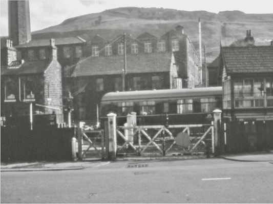
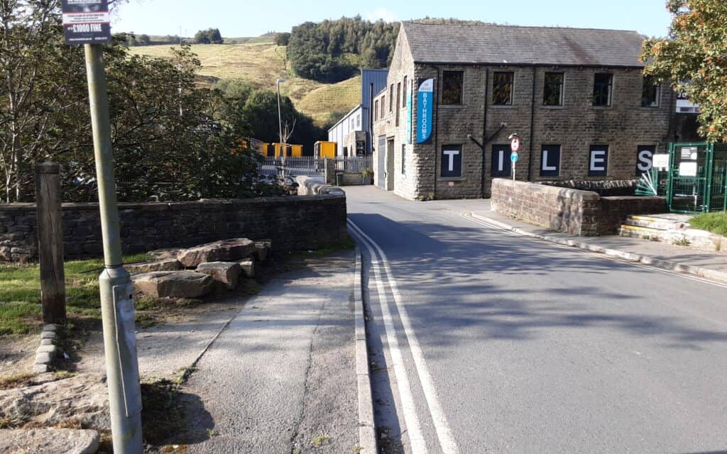
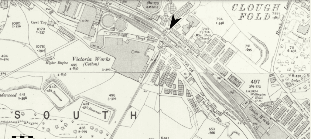
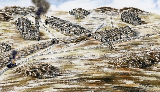
2 Processing Plant – this was the ‘nerve centre’. A tramway network connected here to the various quarries, along which workers could transport the extracted raw stone.
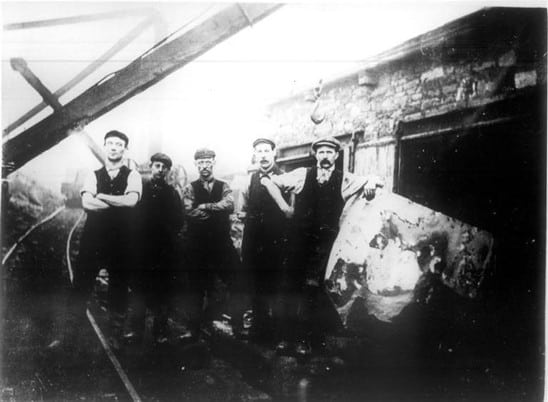
Workers first split the flags along their cleavage planes, leaving a rough surface with irregularities (‘ripples’ or ‘dapples’). The scrubbing or rubbing mill here polished and smoothed them for use on household floors or for similar purposes that demanded a smooth surface.
This stone-processing works once housed polishing and sawing mills (powered by a coal-fired steam Cornish boiler), dwellings and a locomotive shed. The site was disused by 1920.
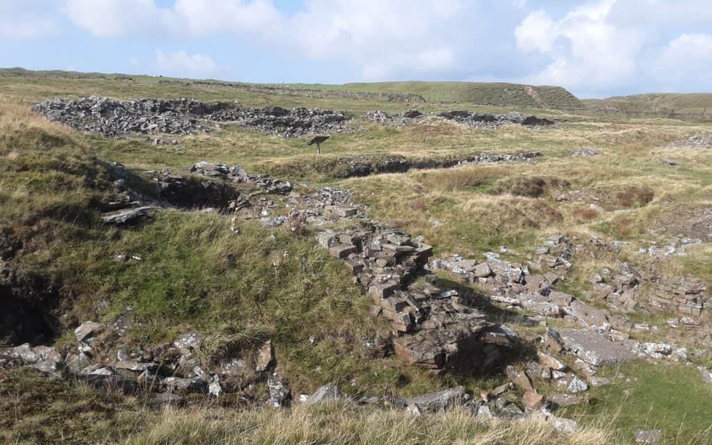
3Hurdles Quarry (1850s-1890s) – an area of open hillside quarrying that was linked to the processing plant by tramway. When the line was lifted around 1890, further extraction was limited, possibly because the stone here appears to be of inferior quality. Thereafter, the firm (Butterworth & Brooks) centred activities around Cragg and Ding.
The remains … a number of small excavations exist in the vicinity; their remains are visible as overgrown spoil heaps and lengths of embankment.
In the early 2000s, proposals aimed to transform the quarry into an outdoor sporting activities venue … including archery, rock climbing, mountain biking and 4×4 driving. They also proposed creating a landscaped wildlife area.
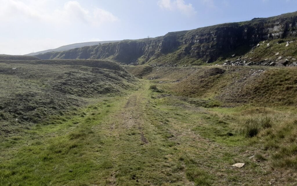
4 Brow Edge Quarry (early 1800s-1910s) – in the 1840s this was a small working. Abraham Spencer, a local farmer, may have been occupied earlier in the century. After Thomas Brooks took a lease in the mid-1850s, the quarry was mechanised and greatly expanded, probably reaching its farthest extent towards the end of the century. Working methods included open pits and some mining. The stone produced here was amongst the best quality available from the various Brooks quarries. It was inactive during WWI, and abandoned in 1919-20.
The remains … consist of fairly extensive faces and waste tips. Any surviving buildings, such as workmen’s cabins, are now little more than heaps of stone. The tramway ran along a contour (in spectacular fashion) but had been dismantled by 1891. Horse-drawn wagons rather than locomotives were probably used. At the quarry itself, a tunnel (now covered) accessed the workings.
To-day the quarry is used as a private shooting range; there is no public access.

5Great Height Quarry (early 1800s-1920) – was being worked for flags and slates during the first years of the 19th century. A farmer, James Siddall, was probably active at the site in the 1830s. Robert Hutchinson, a member of a well-known family of quarry masters, later took over. In 1848, the workings were extensive, although shallow.
When Thomas Brooks acquired the lease from the Buccleuch Estates in the mid-1850s, the tramway was built to connect it to the polishing mill. Stone mines were driven into the outcrop, but by 1896 John Holden seems to have sublet them, employing a small team.
The remains … are heavily degraded, and little of note remains. Landslips now cover the mine adits and the waste tips appear to have been scavenged recently!
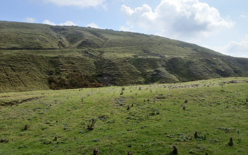
6 Reversing Track
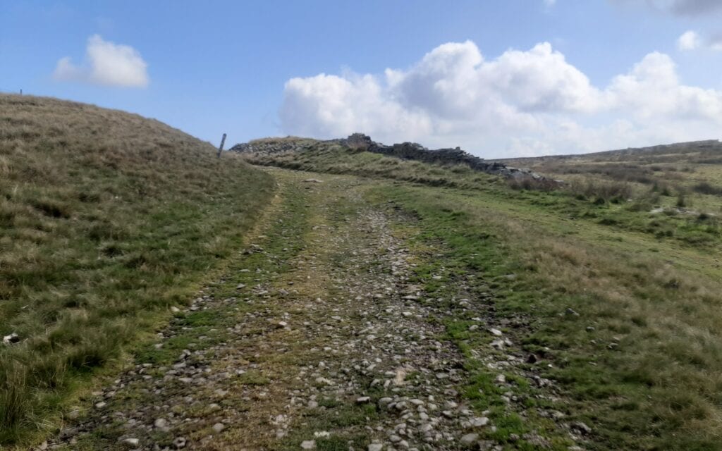
7Cragg and Foe Quarries (1790s-1920) – stone extraction at the head of the Cowpe Valley has a lengthy history, and stone ‘pits’ were probably in existence towards the end of the 18th century. Flags and roofing slates were amongst the main products moved by horse and cart on existing tracks.
In the late 1850s, Crabtree, Walton & Co. owned the quarry. Thomas Brooks later joined the remaining partner, James Hargreaves, but by the mid-1860s the quarry was in the hands of Butterworth & Brooks.
The mineral railway connected Cragg to the processing works. They used rope haulage at Foe Edge. Eventually, the workings in the two quarries merged to become one of the most important in the B&B empire, superseding many older sites around Whinberry Naze. Operations finally ended in 1919-20, but Caygill Bros leased Cragg in 1933 for building stone, having a long association with the trade. Quarrying was greatly restricted after 1939, and although trials were undertaken after the war, results were disappointing, so no further work was carried out.
In the largest quarries, like Cragg, a vast network of temporary tipping tracks covered much of the workings to dispose of the waste and overburden. Some of these temporary tracks were an engineering feat in their own right, with huge trestles built to carry them over the top of the main railway system to the tip sites.
The remains … from Cowpe in the valley below, the skyline is formed by numerous conical humps, mounds and piles of discarded stone. In some places, stone has cascaded down the hillside, forming scree slopes. Crane bases with square holes, counterbalances built from large blocks, and loading stages stand close to the working areas. Some buttresses from several trestle bridges, some used to carry spoil over the tramways, survive. Among the most interesting features are the ruins of the quarrymen’s cabins … built on a square plan and often set into the ground to offer respite from the wind! The lack of roofing material suggests they used corrugated iron.
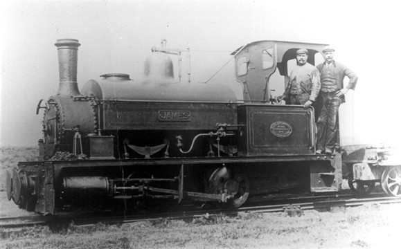

8Cragg Polishing Mill (1798-1850s) – a water-powered (nearby reservoir, now dried up) polishing mill was erected in the 1790s and leased by various early quarry masters. The mill was designed to handle stone from the nearby Cragg Quarry. Secondary sources claim it was a woollen mill, suggesting it originally served as a combined scribbling and polishing mill.
9Engine House – a tramway to Ding was constructed after 1888 when B&B took a lease on the quarry there. Although the line was a continuation of the earlier mineral railway, a steam-powered haulage engine worked it on the summit of Hail Storm Hill. The method of operation is unclear, but the engine may have been arranged to work both sides of the hill. The substantial engine house contained a boiler and engine bed with a flywheel. A winding drum may have been located at the north along with a brick chimney.
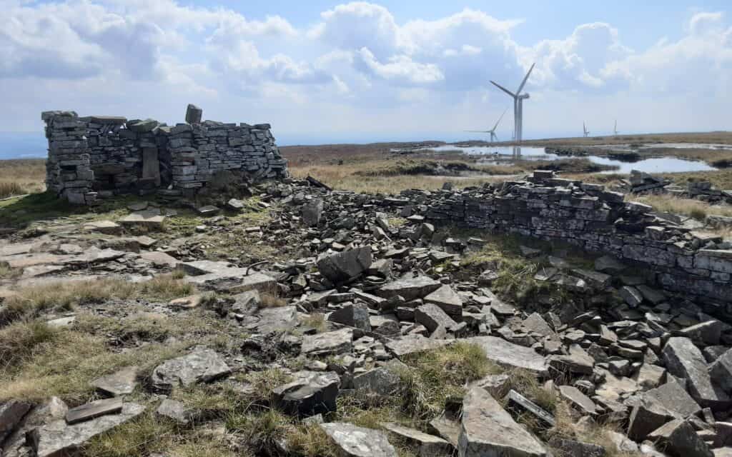

10 Ding Quarry (1840s-1980s) – in 1848 there were four small sandstone workings at the head of Ding Clough, with access to Rooley Moor Road along cart tracks. During this period, J.G. Dearden, Lord of the Manor of Rochdale, worked the quarries. About 1869, Whitworth quarry master Jonathan Rudman took a lease, but he left by 1875.
The quarries lay unused until 1888 when B&B restarted extraction. They built a tramway to connect with Cragg, and by the end of the century, they had enlarged the workings to form one large quarry. B&B surrendered the lease in 1919-20, but stone quarrying continued intermittently for many years. Later masters included Caygill Bros and J.B. Smith of Ramsbottom, who worked until at least the early 1950s. Ding’s hardcore and crushed stone were used during the construction of the M62 in 1969-70.
An application to resume operations in 1979 was refused; however, Sanderson & Gibson carried out further work. In 1995, it was declared dormant, but a further attempt to reopen the workings was launched in 2008 but met local opposition. It is currently inactive.
The remains … spoil heaps, including fingers, extend to the south and show signs of scavenging. The large flat area probably dates from 20th-century operations. Little industrial archaeology survives, and people probably removed most buildings and crane bases for hardcore.

>>>
SOURCES OF INFORMATION ~ “Industrial Heritage” by Mike Rothwell
ACKNOWLEDGEMENT: The History of Rawtenstall Group

The stone quarried here provided the foundations and pavements of Victorian and Edwardian Britain.
This project pays tribute to the hardy quarrymen (up to 3,000) who worked on these moors in harsh conditions, earning meagre wages (less than the younger textile mill workers in the valley below!).
>>>
~
Episode VIII ~ The Deeply Vale Music Festivals

Never mind Woodstock and Glastonbury, we had our very own music festival … nestled in Deeply Vale (and well out of the way of residential earshot).
In the 1970s, local lad Chris Hewitt (an associate of music legend John Peel through his links with the band ‘Tractor’) was one of the main organisers of the event between 1976 and 1978.
Starting with an audience of 300 camping for two days in 1976, the festival grew to 3000 in 1977. By 1978 and 1979, 20,000 people watched bands and camped for six days!
It was England’s biggest free festival. Praised for being very well organised … “a model for how festivals should be run”!
Like other music events in the 1970s, Deeply Vale aimed to bring together bands of all styles and is credited with helping launch many groups that formed in the years that followed. Among the people who claim to have been in the audience and have been inspired to pursue a musical career are … Andy Rourke of The Smiths, David Gedge from The Wedding Present, Dave Fielding, Mark Burgess and Reg Smithies from The Chamelions, Jimi Goodwin from The Doves, Boff Whalley from Chumbawamba, Steve Cowen from The Mock Turtles and Ian Brown from The Stone Roses.
The Deeply Vale Festivals were the first of the hippie music festivals to mix punk bands on the bill alongside festival stalwarts … Steve Hillage, Nik Turner, The Ruts, Misty In Roots, Tractor, Here & Now, Alan Wild and The Fall.
The Deeply Vale era ended in 1979, but the festival was resumed, on a smaller scale, at Pickup Bank (near Darwen) in 1980 and 81.

Then & Now


~


~

THE WALK … via our excellent local bus service, the start point is at Bevis Green (Walmersley) > Walmersley Old Road > Bentley Lane > Croston Old Road > Deeply Vale Lane ... this would have been the traffic way up to the festivals.
Deeply Vale was a very frequent camping destination for me in the 80s, whilst Jon knew the area in the 90s as an en route mountain bike way up to ‘Owd Betts’. We both agreed that from Bentley Lane onwards, the road (nicely metalled to-day) was a heavily rutted dirt track … how on earth did they get buses and lorries up there to the ‘party'(?)!!!
Our exit out of the valley is by way of Scotland Lane > a mandatory pint in the ‘Packhorse’ > return to Heywood via Gristlehurst Woods.
>>>
SOURCE OF INFORMATION ~ ukrockfestivals.com
>>>
CROSS REFERENCE ~ Walks 4 & 6
~