Anglesey Round
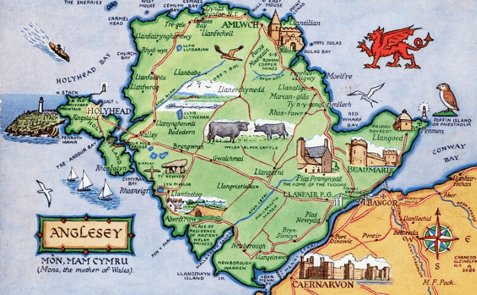
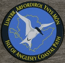
This is an ambitious project to walk around the island, some 140 miles in stages, along the excellent coastal footpath.
LEG 1 ~ AMLWCH TO MOELFRE ~ xx miles / xxxx feet of ascent
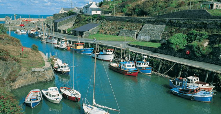
Amlwch once boasted the largest copper mine in the world and a large bromide works with its own railway! … all that has now gone, but the unsightly scars remain. The earth’s riches have been plundered and the works have been conveniently abandoned.
The harbour inlet became a busy port and significant shipbuilding and repair centre, as well as an embarkation point for boats to the Isle of Man and Liverpool.
PATH NOTES:
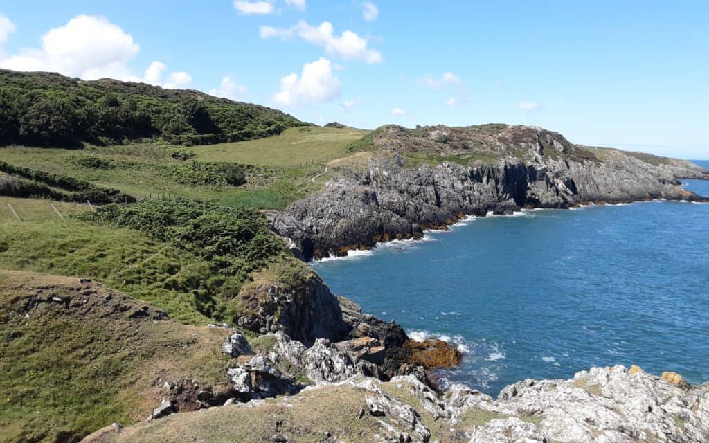
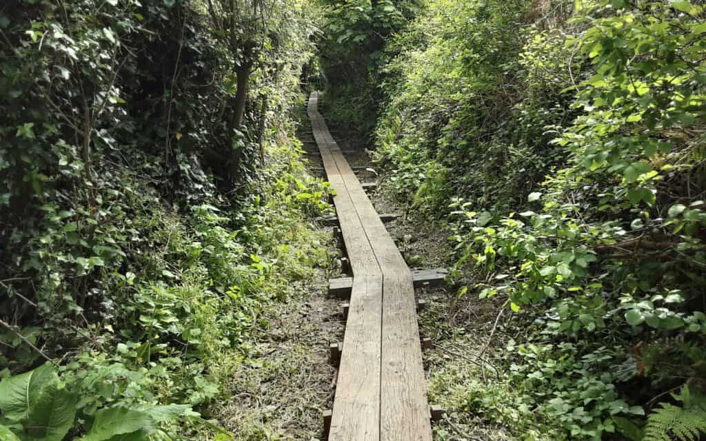
# This is a very remote section that could prove challenging in inclement weather.
# Refreshments are to be had at Amlwich Harbour, but there is nothing then until you reach the Pilot Boat pub at City Dulas.
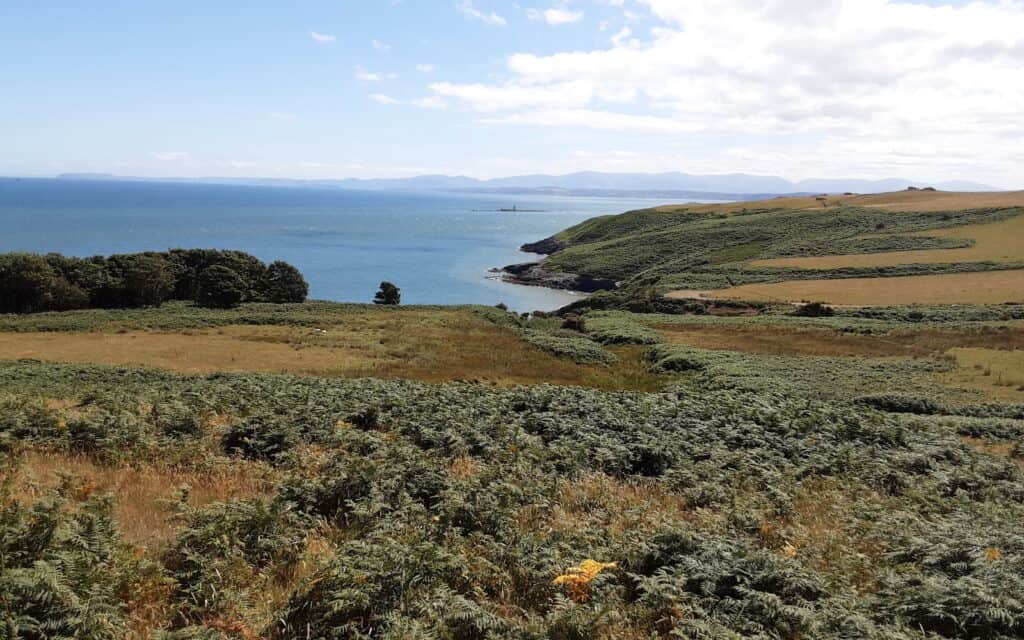
# The path at Traeth Dulas runs right alongside the shoreline … this will not be accessible at spring/high tides, roads will have to be used to bypass this.
LEG 2 ~ MOELFRE TO LLANGOED ~ xx miles / xx feet of ascent
X
PATH NOTES:
# This
# Cafe
# The

LEG 3 ~ LLANGOED TO BEAUMARIS ~ 6.8 miles / 400 feet of ascent
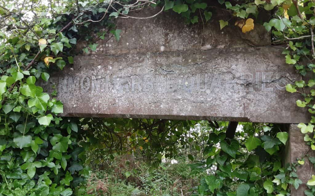
The Penmon Peninsula is another area rich in natural resources … evident with the remains of its limestone and marble quarries.
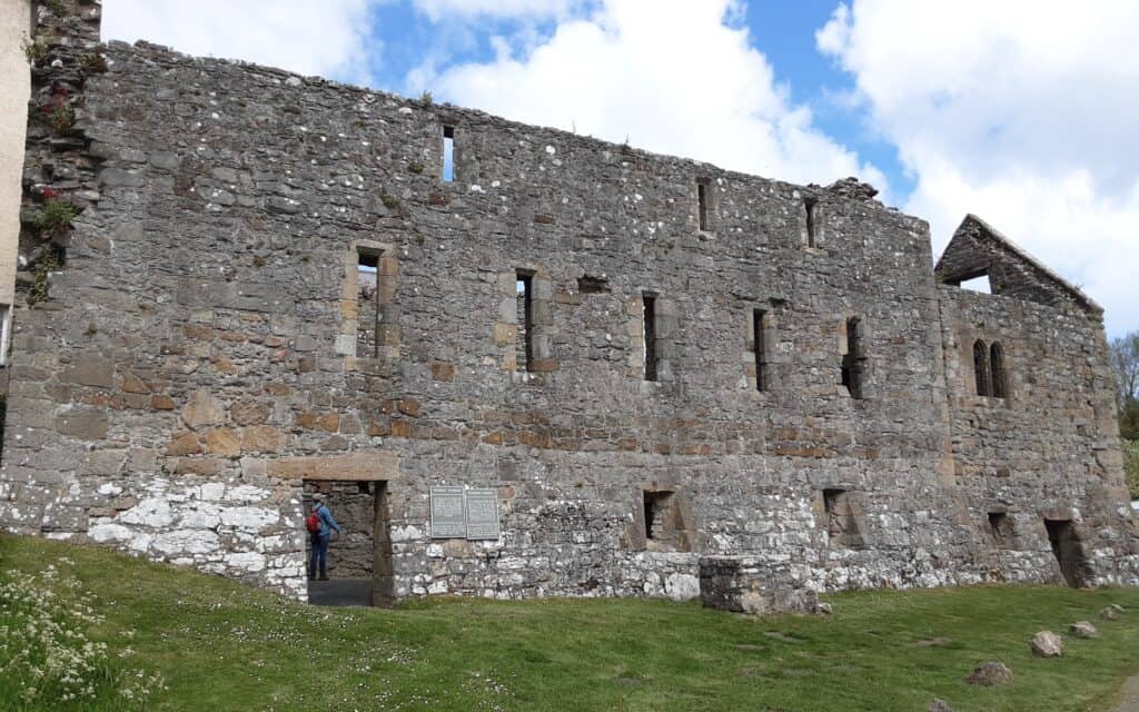
Penmon’s history stretches back to the 6th century when a monastery was established here by St. Seiriol. The remains of a later Augustine Priory still stand to-day.
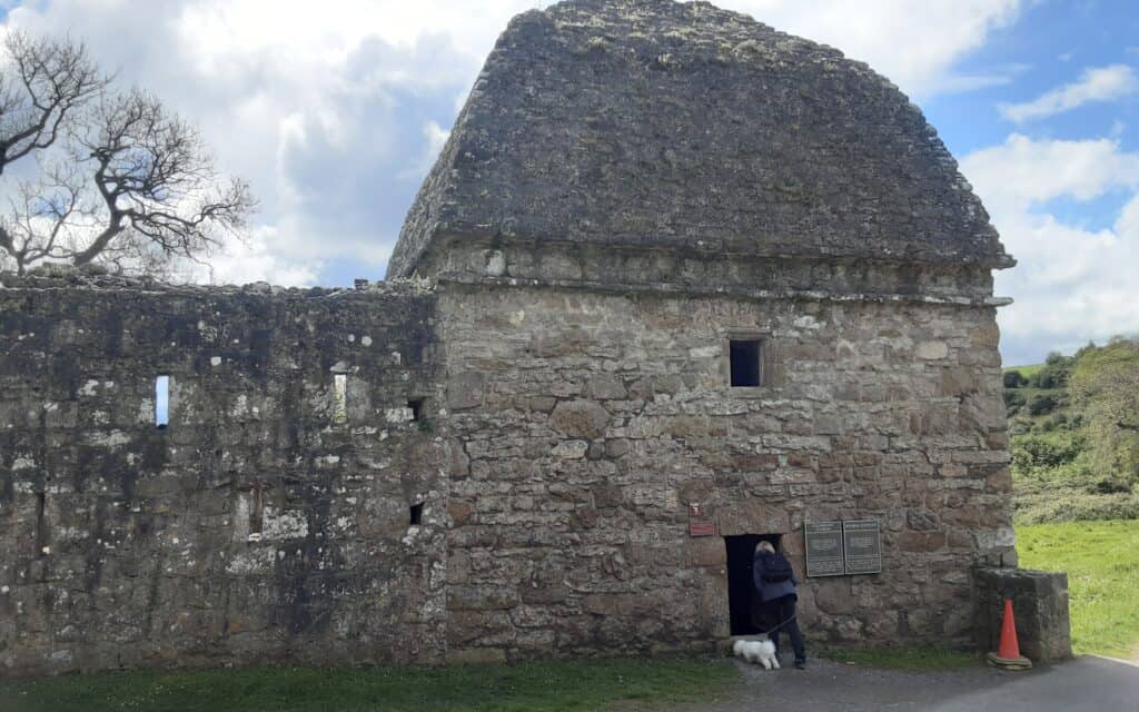
Post-Dissolution, the priory became the property of the Bulkeleys of Beaumaris. They enclosed much of the land as a deer park with an impressive tall stone wall (very much in evidence) and built the magnificent Dovecot (take a peek inside it!).
PATH NOTES:
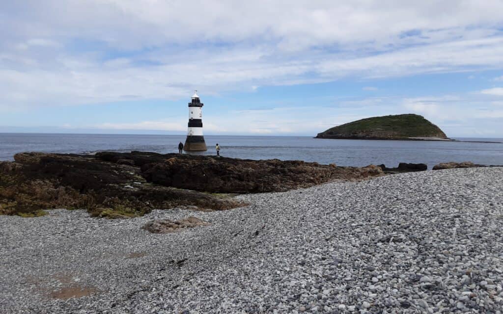
# This is a walk of two halves … to start with, there are rare views of the sea, as the route takes on an intriguing inland tack. Once the Trwyn Du Lighthouse and nearby Puffin Island have been rounded, the Menai Straits are encountered close up for the first time … it becomes an absolutely sublime companion, while simultaneously enjoying the superb views of the Carneddau Mountains over the water.
# Cafe at Penmon Point, but there is nothing then until you reach the end at Beaumaris town.
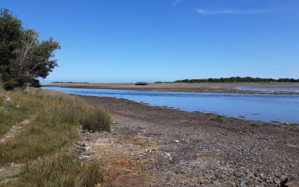
# The path along Lleiniog Beach is surprisingly challenging. Do NOT attempt it one hour either side of high tide, roads will have to be used instead.
LEG 4 ~ BEAUMARIS TO MENAI ~ 4.7 miles / 500 feet of ascent
Beaumaris contains a mixture of architecture reaching back more than 800 years … the mediaeval buildings intersperse with Georgian and Victorian. It is also home to Edward I’s masterpiece castle.
Bangor (Garth) Pier is another Victorian legacy. Its primary purpose was to enable steamships from Liverpool and other places to bring passengers to Bangor, smaller vessels shuttled between Llandegfan or Beaumaris. A narrow-gauge railway carried passengers’ luggage along the pier’s 1500 feet length.
Menai Bridge is a triumph of civil engineering. It was designed by Thomas Telford and completed in 1826 … the world’s first major suspension bridge.
PATH NOTES:
# A very steep road climb out of Beaumaris leads you to a wonderful belt of unspoiled beauty at Pen-y-parc. As magical a stretch as it is, it can not mask the disappointment of the very long road trudge ahead.
# Tranquil country lanes turn into minor paved roads that turn into paved main roads. Views of Snowdonia across the Strait offer some compensation.
# It is only at the outskirts of Menai that you drop down to the water’s edge and a breathtaking close-up of the world-renowned bridge.


LEG 5 ~ MENAI TO LLANIDAN ~ 7.9 miles / 700 feet of ascent
The Belgian Promenade dates back to WWI. Refugees from German-occupied Mechelen in Belgium were accommodated in Menai. In gratitude for the town’s hospitality, they built this promenade (a short diversion around Church Island is highly recommended).
George Stephenson’s Britannia Bridge was opened in 1850 to provide a vital railway route from Chester to Holyhead (and the ferry sea link to Ireland beyond). The original bridge is buried under a more modern construction, built to facilitate the growing car traffic … notice the lion statues.
Nelson’s Statue faces out over the Strait. Although it may seem like a product of the nation’s euphoria and mourning after Lord Nelson met his heroic death at Trafalgar, the statue was erected much later, in 1873, by an artist experimenting with concrete. It acted as a useful landmark for mariners.
Bryn Celli Ddu (a short diversion required), excavated in the 1920s, is a Neolithic monument considered to be one of the finest passage tombs in Wales.
PATH NOTES:
# Despite a spell on ‘tarmac’, this is a sublime leg, full of beauty and surprises.
# A charming stroll along the promenade eventually leads you to the National Trust woodland beauty spot of Coed Mor … the tone is set!
# Britannia Bridge is viewed from its underbelly and warrants a closer inspection.
# There are no facilities en route, but Bryncelli Ddu provides an excellent opportunity for a picnic(?).
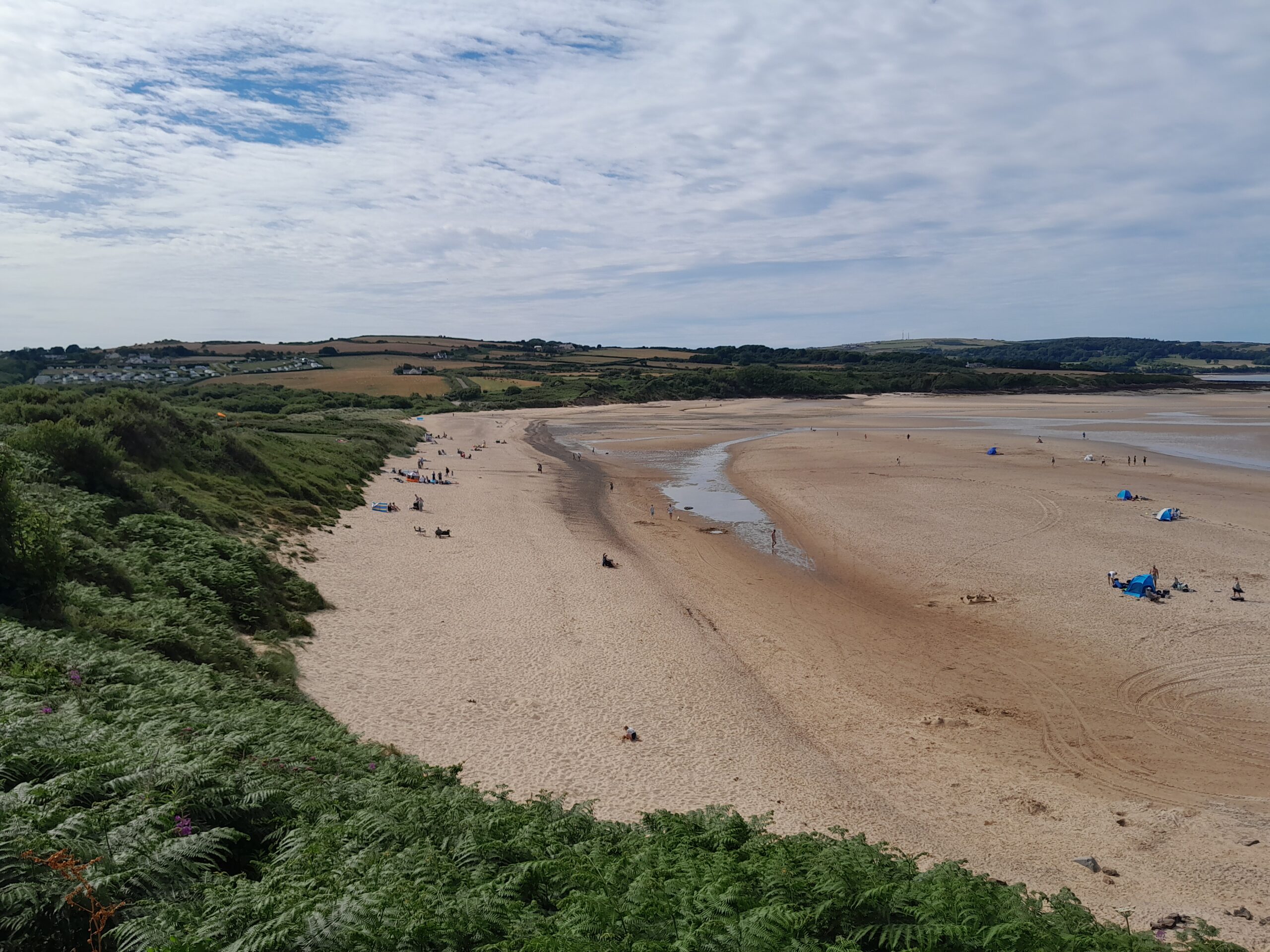
# Do not attempt the beach at Llanidan in unfavourable conditions, an inland alternative is available.


