Walks Around Heywood
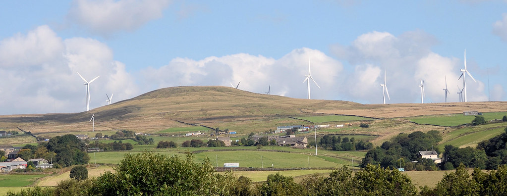
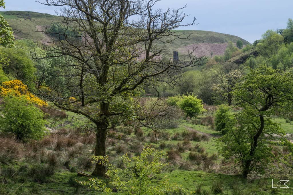
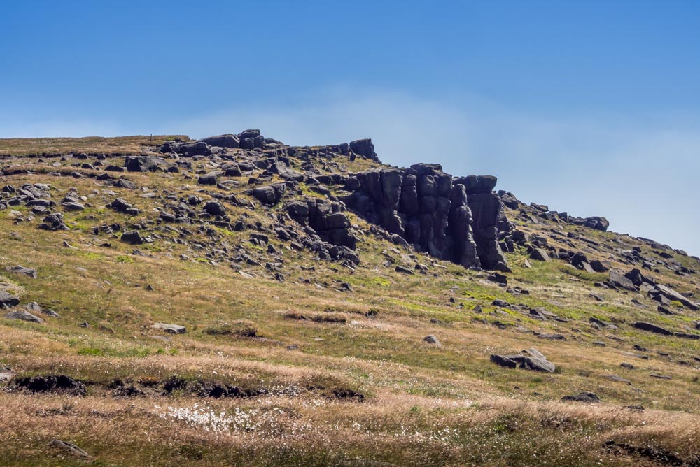
The omnipresent Knowl Hill
~
~
When I first moved to Heywood in 2018, I said to my partner (a Heywood lass born and bred) that the place had little to offer on the walking front … boy, how wrong I was!
To atone for my ignorant comment, I have put together a series (not exhaustive) of summer walks that circumnavigate the town … each one is around 7 miles and is laced with a heavy dose of local history!
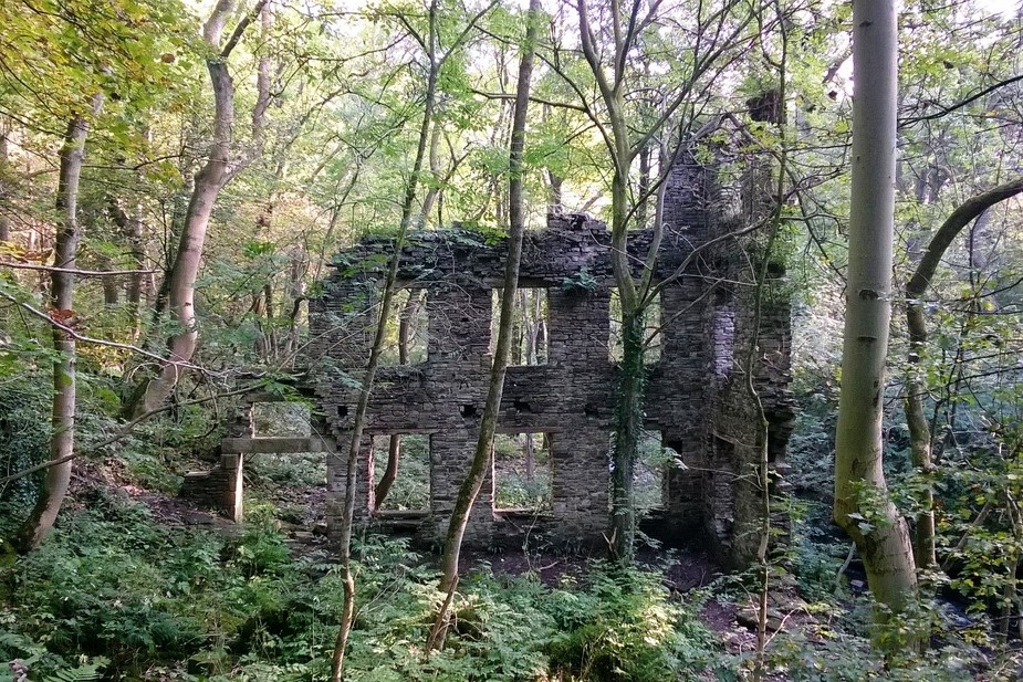
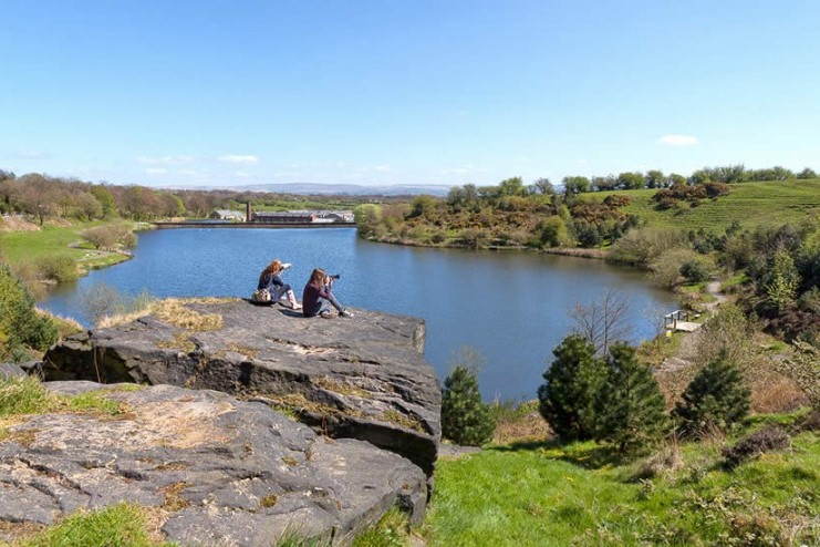
I have followed a familiar Blue Fox format … the routes are on 1:25k maps (enlarged x 2 for ease of identifying specific details) or ‘Streetmaps’ where appropriate. Each one is accompanied by several points of interest and supporting pictures.
A short promotional video has been produced to promote each walk. A You-Tube link is below each walk. See if you can get the tenuous tongue-in-cheek music connection(?).
Oh yes … every walk has a suggested pic-nic/break stop and, of course, pub-stop factored into it!
–
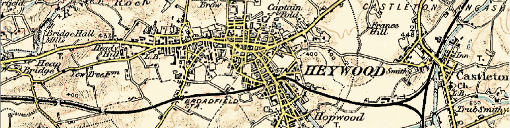
Heywood can trace its roots back to the Anglo Saxon period. The Saxons cleared thickly wooded areas into ‘heys’ or fenced clearings in which wild animals were driven for easy capture … likely giving the area its name. The Anglo-Saxon word “haga” means a hedge, thus Heywood possibly means ‘the wood surrounded by a hedge.’ At one time Heywood was spelt as ‘Eywode’ which points strongly to its derivation being from the Anglo Saxon ‘ea’ meaning water … thus ‘the wood surrounded by the stream’ is another possible source of the name.
Originally part of the township of Heap, Heywood grew to be the town we know and love due to the Cotton Trade. With excellent transport links, thanks to the M62 and M66, Heywood to-day has become the centre for the distribution of goods.
It’s not known exactly when Heywood first got the nickname “Monkey Town” but the term was being used as far back as 1857. Bob Dobson in “Lancashire Nicknames & Sayings” states that the nickname originated from Irish immigrants pronouncing ‘Heap Bridge’ as ‘Ape Bridge,’ and believes that the name ‘Monkey Town’ derived from this. With the nickname came the stools with holes in them … supposedly for the monkey’s tails. In reality the holes were for carrying the stools! Or could it be from a cageful of monkeys escaping from a travelling zoo (parked in what is now the Remembrance Gardens)? … travellers passing through the town thought in was inhabited by apes!
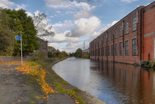
The railways are inextricably woven into the area’s industrial past, providing vital links to the country’s network of import, export, raw material, and, most importantly, workers. The East Lancashire Railway is now a 12.5 mile heritage steam line, running between Heywood and Rawtenstall, with stations at Ramsbottom and Bury in between.

WALK No.1 –
Simpson Clough & Bamford ~ 6.8 miles / 850 feet ascent
>>>
Start/finish point: St.Luke’s Church, town centre (Parish of St.Luke)
ACKNOWLEDGEMENT: Denise Miller
PUB: Grapes, Bamford
YOU TUBE LINK = https://youtu.be/7BeQzzRGNdI
WALK No.2 –
Roch Valley & Birtle ~ 7.5 miles / 850 feet ascent
>>>
Start/finish point: Sports Village, Back o’th’ Moss (Parish of St James)
PUB: Pavilion, Birtle
YOU TUBE LINK = https://youtu.be/iSl1wjxqcHM
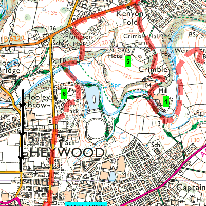
WALK No.3 –
Castle Hawk & Crimble ~ 7.2 miles / 500 feet ascent
>>>
Start/finish point: St. Luke’s Church, town centre (Parish of St Luke)
PUB: Hare & Hounds, Crimble
YOU TUBE LINK = https://youtu.be/ogpGxXNBW4Y
WALK No.4 –
Ashworth Valley & Deeply Vale ~ 7.8 miles / 1100 feet ascent
>>>
Start/finish point: ‘Tractor’ blue plaque, town centre (Parish of St Luke)
PUB: Pack Horse, Birtle
YOU TUBE LINK = https://youtu.be/wcNgvWAM__Q
WALK No.5 –
Rochdale Canal & Hopwood Woodlands ~ 7.5 miles / 400 feet ascent
>>>
Start/finish point: East Lancashire Railway, Hopwood (Parish of St John)
PUB: Hopwood, Slattocks
YOU TUBE LINK = https://youtu.be/WKICZhtQF6M

WALK No.6 –
Summerseat to Heywood ~ 7.9 miles / 1100 feet ascent
>>>
Start/finish point: East Lancashire Railway, Hopwood (Parish of St John)
PUB: Starkey, Hopwood
YOU TUBE LINK = https://youtu.be/hNJCvkwKW8w
WALK No.7
Hollins Vale Nature Reserve & Pilsworth ~ 7.4 miles / 500 feet ascent
>>>
Start/finish point: St. John’s Church, Heap Bridge
PUB: Queen Anne, Unsworth
YOU TUBE LINK = https://youtu.be/RL5hTc3nJ24
WALK No.8
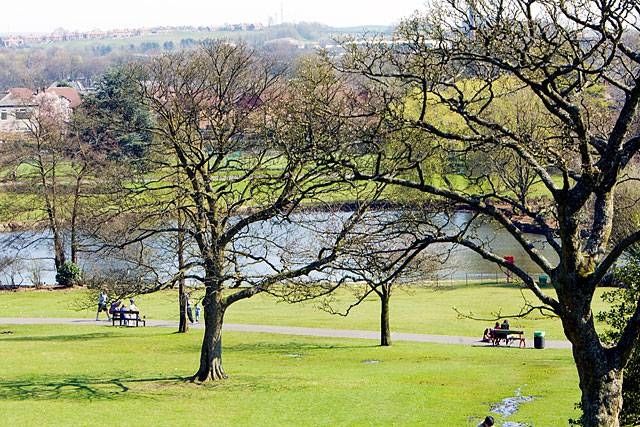
Springfield Park & Queen’s Park ~ 7.3 miles / 650 feet ascent
>>>
Start/finish point: Queen’s Park, Heywood North (Parish of St Luke)
ACKNOWLEDGEMENT: Rochdale Local Studies Centre
PUB: Success To The Plough, Marland
YOU TUBE LINK = https://youtu.be/L78jozXIiaQ
WALK No.9
Walmersley & Chesham Woods ~ 7.2 miles / 950 feet ascent
>>>
Start/finish point: St. John The Baptist Church, Bircle
PUB: Towler, Limefield
YOU TUBE LINK = https://youtu.be/qydv8X86OLQ
WALK No.10
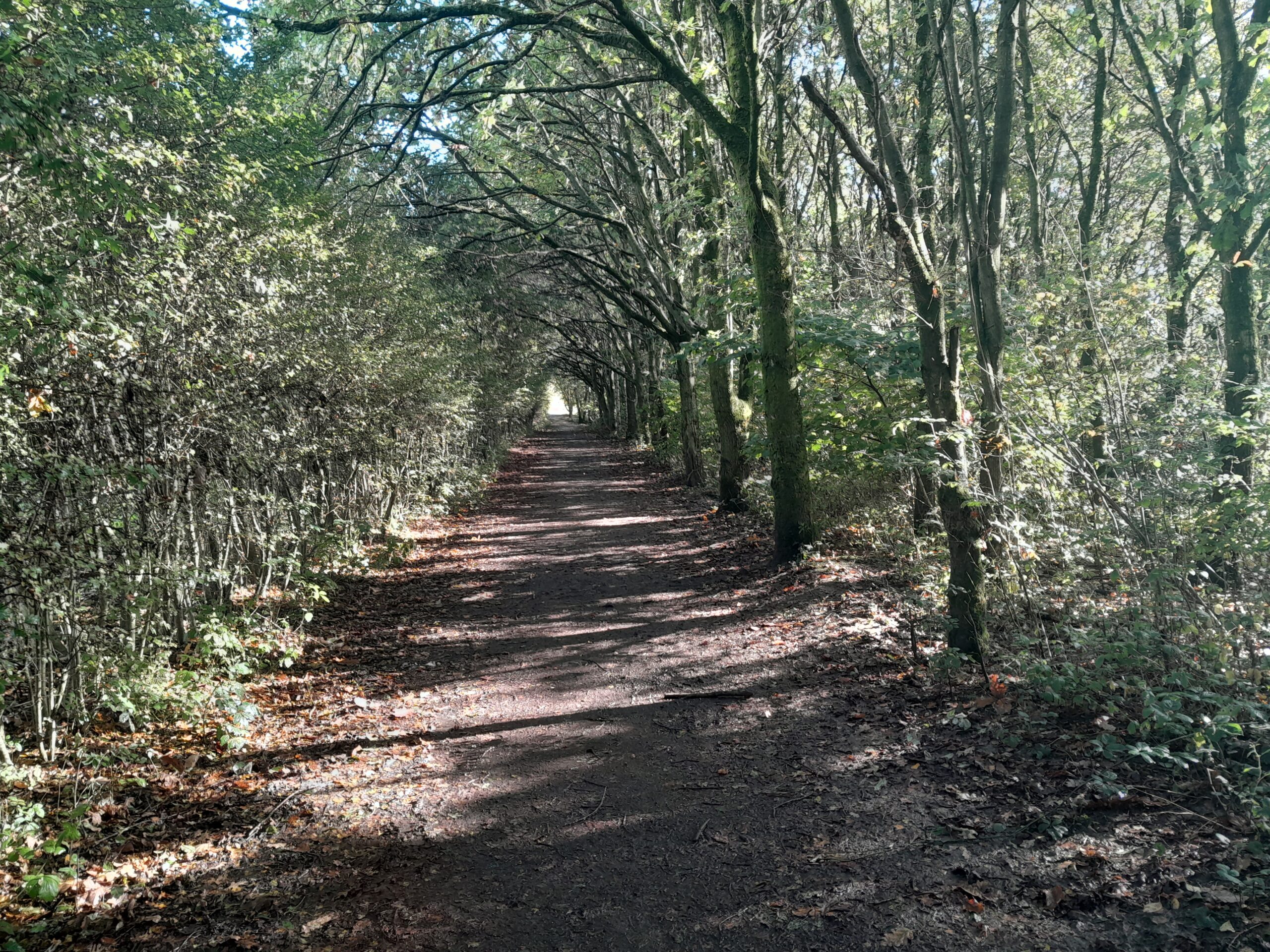
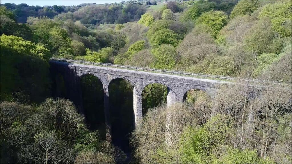
Healy Dell & Pennine Bridleway ~ 7.1 miles / 1200 feet ascent
>>>
Start/finish point: Catley Lane Head hamlet
PUB: Red Lion, Whitworth
YOU TUBE LINK = https://youtu.be/jhfscNkqhLE
WALK No. 11
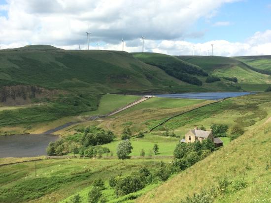
Norden & Greenbooth Reservoir – 7.1 miles / 1000 feet ascent
>>>
Start/finish point: Norden village
PUB: Horse & Farrier, Norden
YOU TUBE LINK = https://youtu.be/zuoYDPQKQTU

WALK N0. 12
Burrs Country Park & Kirklees Trail – 7.3 miles / 650 feet ascent
>>>
Start/finish point: Burrs Country Park
PUB: Brown Cow, Burrs
YOU TUBE LINK = https://youtu.be/PqE2f-4mPkc
WALK No.13
Bowlee & Heaton Park – 8.2 miles / 450 feet ascent
>>>
Start/finish point: Bowlee Community Park
PUB: Same Yet, Simister
YOU TUBE LINK =
The maps for all the above are on the next website page and in addition they are available on the All Trails app. Should you require a detailed O/S map of the required route, contact me on bluefox.walks@outlook.com>>>
NOTE: These walks were researched and reconnoitred in beautiful sunshine! … when the paths were bone-dry and streams a mere trickle. Please be aware that large areas could be prone to heavy mud and it is highly inadvisable to attempt any riverside sections in times of spate. Although much of each of the routes are mere strolls, there are still some parts only suitable for the sure-footed. Every walk includes a DIFFERENT pub for you to enjoy along the way, or an alternative pic-nic/break stop if preferred(?). You can alter the start and finish points to suit yourselves (eg if you want the pub at the end). Good knowledge of map-reading would be advantageous to yield the most from these walks.
I have been asked to lead local groups for these walks. My leading days are limited (time) nowadays, but I am more than happy to impart the routes and their stories to another prospective leader.
ACKNOWLEDGEMENTS: Graham Lord / Sylvia Walch
~
The Rochdale Way
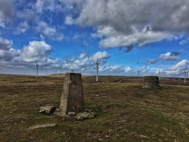
This 49 miles / 6500 feet ascent long distance beauty is a route around the Borough of Rochdale … over moorland, through wooded valleys and passing historic urban sites. Blackstone Edge, Healey Dell, Knowl Hill, Queens Park, Tandle Hill and Piethorne Valley are visited or viewed along the Way.
Although waymarked throughout, it does have its shortfalls … particularly in places where you could really do with a helpful pointer! There is a contentious section near to Birch to negotiate too. All in all … this will test your navigational skills.
It is unlikely you will be able to do this in one hit, so in order to segment it, reliance on someone to drop you off and pick you up will be required. Alternatively, careful planning of public transport will be necessary.
~
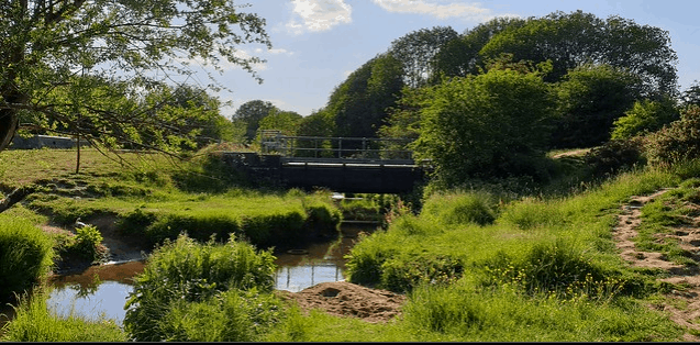
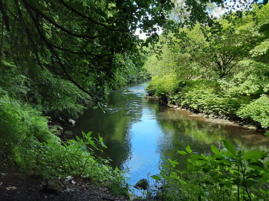
The River Roch … from source to confluence

Ever wonder where our very own river starts and finishes its life? … well, wonder no more!
Another one of this area’s rivers that has been subjected to industrial abuse in days gone by, and still is subjected to some ‘legal’ allowance of sewage release (ie storm sewage and treated wastewater), fly tipping and wild camp vandalism … BUT, there are still plenty of very long stretches to soak up … it compares to any other riverside walk (best served up on a lovely summer’s day!).
This can be treated purely as a walk or, for the historians, a unique opportunity to delve into our local past … as it encounters one magical treasure after another alongside its course.
I have divided the walk into three sections … as always, contact me if you require a route map. You will need a lift to the first start point, The White House pub above Littleborough, but thereafter you can very easily tap into our excellent local bus system when required.
PART I Chelburn Moor, Pennines to Rochdale = 7.5 miles
PART II Rochdale to Heap Bridge = 7.1 miles
PART III Heap Bridge to Springwater Park, Radcliffe = 3.6 miles
ACKNOWLEDGEMENT: Steve Sanderson
FOR MORE ABOUT THE ROCH, SEE OUR RIVER IRWELL PAGE (the Roch is a tributary of the Irwell)
~
Cycle Routes

Cycle Route ~ North
15.4 miles circular / 2200 feet ascent
Ashworth Valley > Shuttleworth > Nangreaves > Birtle
Cycle Route ~ East
16.0 miles linear / 900 feet ascent
Hebden Bridge > Castleton via the Rochdale Canal
Cycle Route ~ West
16.0 miles circular / 1400 feet ascent
Prestwich > Radcliffe > Moses Gate > Ringley
Cycle Route ~ South
15.8 miles circular / 900 feet ascent
Castleton > Middleton > Heaton Park > Bowlee
S REFERENCE ~ Walk 3 & Cycle Route South