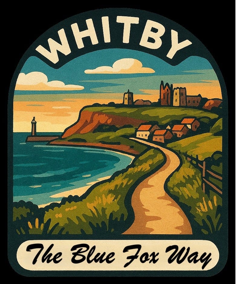
Walks Around Whitby
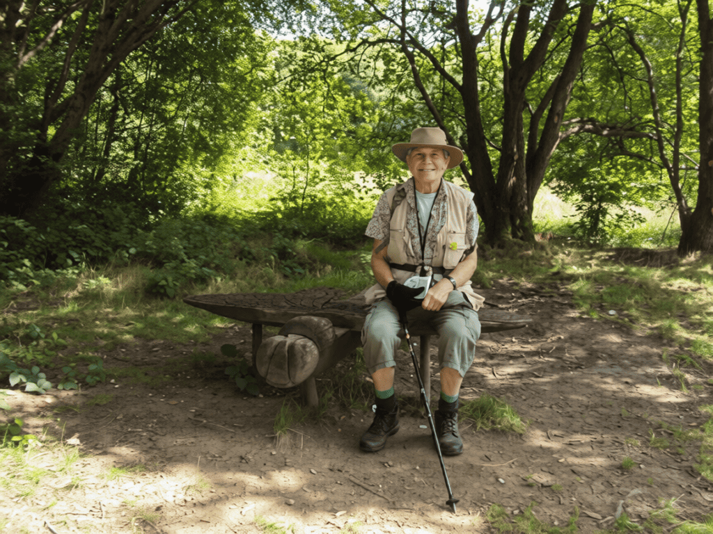
I have been visiting Whitby for more decades than I can remember, exploring just about every inch of her walking kingdom.
This project sets out to provide a fully comprehensive range of walks serving the area.
Although Whitby’s greatest walking asset is the coast, these walks also delve deep inland … through magical woods, into hidden valleys and over unspoiled moorland.
Each route is recorded on a detailed map and is accompanied with a leaflet crammed with information … facilities, statistics and points of interest.
My ultimate aim is to get these published with charitable intentions. In addition, I am hoping to produce a series of corresponding complimentary videos.


~
A WALKS ~ 15 to 18 miles and up to 3000 feet of climbing
- A0 ~ Whitby circular via Littlebeck ~ “The Valley That Never Was” ~ Valley / Woodland
- A1 ~ Whitby circular via Mickleby ~ “Mad Cows & Englishmen” ~ Coastal / Woodland
- A2 ~ Flask Inn to Falcon Inn via Langdale ~ ” “ bus 31mins
- A3 ~ Goathland to Pickering via Newton Dale ~ ” “ bus 24mins
- A4 ~ Hinderwell to Whitby via Boulby ~ “The Germans Are Coming” ~ Coastal / Woodland
- A5 ~ Scaling Dam to Whitby via Egton ~ “On The Radar” ~ Moorland / Valley
- A6 ~ Hole of Horcum circular via Levisham ~ “From Russia With Love” 41mins
- A7 ~ Cloughton to Whitby via Robin Hood’s Bay ~ “Cliffs, Cloisters & Klaxons” ~ Coastal
- A8 ~ Lockton to Scalby via Dalby Forest ~ ” “ 54mins
- A9 ~ Kildale to Lealholm via Castleton ~ “Naughty Nuns & Lonely Lookouts” ~ Moorland / Valley
B WALKS ~ 11 to 14 miles and up to 2250 feet of climbing
- B10 ~ Fylingthorpe to Whitby via Littlebeck ~ “Is It True Or False?” ~ Moorland / Valley
- B11 ~ Grosmont to Whitby via Beck Hole ~ “Stepping On Stone & Iron” ~ Riverside / Valley / Woodland
- B12 ~ Grosmont to Whitby via Sneaton ~ “Mule Train Over The Moors” ~ Moorland / Valley
- B13 ~ Flask Inn to Whitby via Robin Hood’s Bay ~ “Rambling Cheek To Cheek” ~ Coastal / Valley / Woodland
- B14 ~ Staithes to Whitby via Runswick Bay ~ “Anyone For Tennis?” ~ Coastal
- B15 ~ Gerrick to Staithes via Loftus ~ “Ghost Train To Tin Town” Coastal / Valley / Woodland
- B16 ~ Lockton circular via Keldy ~ “Romans & Holidays” ~ Valley / Woodland
- B17 ~ Lealholm to Whitby via Grosmont ~ “A Brig O’er Trubbled Watters” ~ Riverside / Valley / Woodland
- B18 ~ Newby semi circular via Forge Valley ~ “Walking The Boards” ~ Riverside / Valley / Woodland
- B19 ~ Helmsley circular via Old Byland ~ “Courageous Earls & Cowardly Kings” ~ Riverside / Valley / Woodland
C WALKS ~ 7 to 10 miles and up to 1250 feet of climbing
- C20 ~ Whitby circular via Sandsend ~ “Elephants & Castles” ~ Coastal /Woodland
- C21 ~ Fylingthorpe to Whitby via Hawsker Bottoms ~ “Under The Stone Bridge Wall” ~ Coastal
- C22 ~ Grosmont circular via Goathland ~ “In God’s Own Country” ~ Valley / Woodland
- C23 ~ Flask Inn to Hawsker via Robin Hood’s Bay ~ “Beware The Bang Of The Drum” ~ Coastal / Woodland
- C24 ~ Hole of Horcum to Fox & Rabbit via Dalby Forest ~ “The Forests Have Eyes” ~ Ridge / Valley / Woodland
- C25 ~ Hole of Horcum to Pickering via Levisham ~ “Land Of The Giants” ~ Moorland / Valley / Woodland
- C26 ~ Scarborough circular via Weaponess ~ “I Promised You A Rose Garden” ~ Coastal / Valley
- C27 ~ Thornton-le-Dale circular via Dalby Forest ~ “A Day At The Dogs” ~ Valley / Woodland
- C28 ~ Guisborough circular via ~ “Gone For A Burton” ~ Ridge / Valley/ Woodland
- C29 ~ Hemsley circular via Rievaulx ~ “Abbey Life” ~ Valley / Woodland
D WALKS ~ 6 to 7 miles and under 850 feet of climbing
- D30 ~ Whitby circular via Sandsend ~ “Now You Sea It, Now You Don’t”~ Coastal / Woodland
- D31 ~ Hawsker to Whitby via Ruswarp ~ “In The Footsteps Of Monks” ~ Valley / Woodland
- D32 ~ East Barnby to Sandsend via Mulgrave ~ A Tale Of Three Castles” ~ Ridge / Coastal / Woodland
- D33 ~ Mickleby to Sandsend via Mulgrave ~ If You Dare Go Down In The Woods To-day” ~ Valley / Woodland
- D34 ~ Robin Hood’s Bay to Whitby via Stainsacre ~ “A Cinder Surprise” ~ Coastal / Woodland
- D35 ~ Runswick Bay to Sandsend via Kettleness ~ “Two Tunnels And A Funeral” ~ Coastal
- D36 ~ Hinderwell to Runswick Bay via Newton Mulgrave ~ “In Defence Of The Realm” ~ Coastal / Woodland
- D37 ~ Goathland to Grosmont via Beck Hole ~ “Do Spare The Horses” ~ Valley
- D38 ~ Pickering circular via Scalla ~ “Pike, Paintings & Poachers” ~ Valley / Woodland
- D39 ~ Thornton-le-Dale circular via Dalby Forest ~ “Run Rabbit Run” ~ Valley / Woodland
~
Disabled-Friendly Walk

You do not have to go too far in Whitby to find a steep climb!, making it difficult to produce a disabled-friendly walk. Not to be deterred, this is my (three-mile) solution, it is called …
“A Perambulation Along The Promenade“
~
Town Walk

This is a 3.5 mile walk around the town. It delves into many hidden corners and unravels Whitby’s secrets.
~
I dedicate these walks to my great friend … the late Frank Search