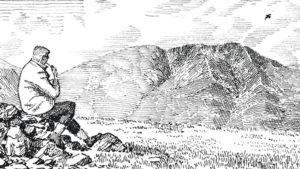
As a regular visitor to Britain’s favourite National Park … the Lake District, I have been privileged enough to ‘bag’ all the highest mountains (by boot) and circumnavigate all the largest lakes (by peddle). I have climbed all the mountains before in a younger life!, but this time was keen to make a detailed record and log (map, stats, information, etc) of my endeavours.
I might extend this in the future to include some form of kayak or canoe tribute(?) …VA
~
MOUNTAINS&LAKES
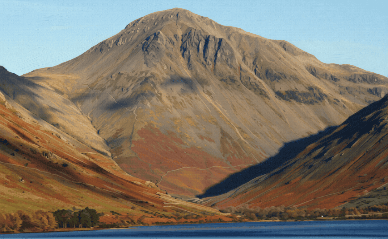
10. Great Gable – 2949 feet 15. Rydal Water – 75 acres
10. Great Gable – 6.4 miles / 3218 feet of ascent & descent
Wainwright No. 7
Western Fells
Start Point: Seathwaite
9. Bow Fell – 7.6 miles / 2841 feet of ascent & descent
Wainwright No. 6
Southern Fells
Start Point: Dungeon Ghyll
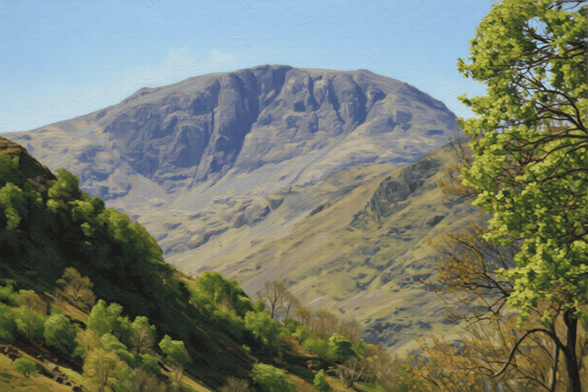
8. Great End – 8.6 Miles / 3188 feet of ascent & descent(absorbsEsk Pike)
Wainwright Nos. 5 & 11
Southern Fells
Start Point: Seathwaite
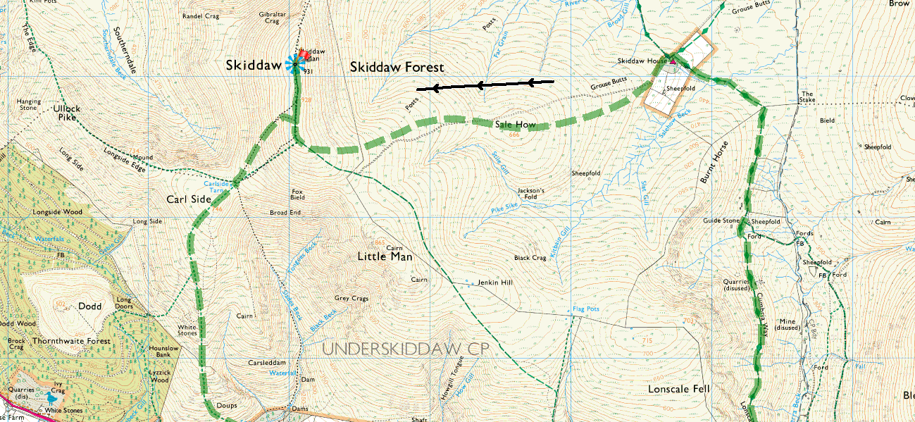
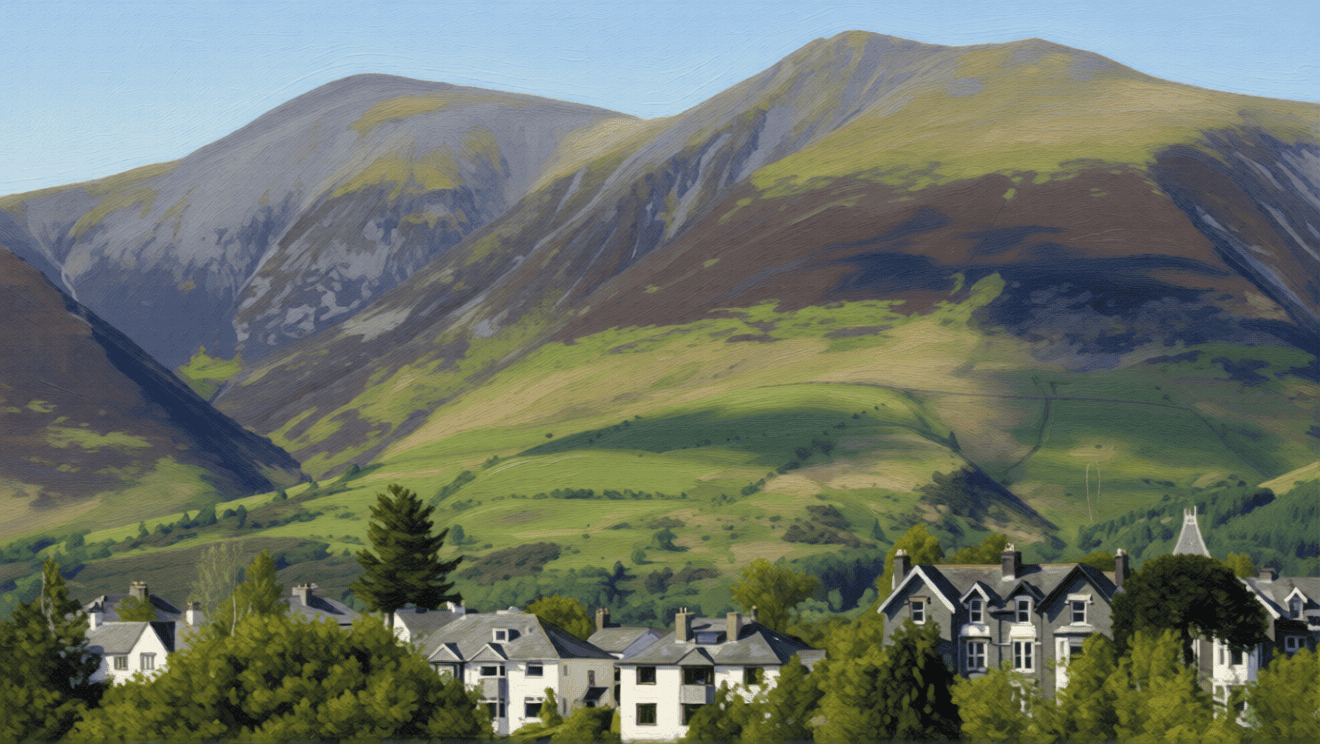
6. Skiddaw – 12.3 miles / 3491 feet of ascent & descent
Wainwright No. 4
Northern Fells
Start Point: Keswick
4 & 5. Ill Crag & Broad Crag – 8.8 miles / 3562 feet of ascent & descent
Southern Fells
Start Point: Seathwaite
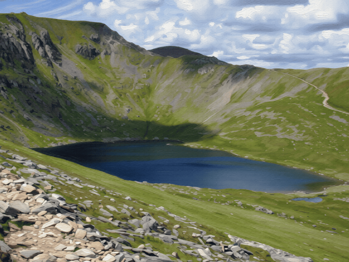
3 & 7. Helvellyn & Lower Man – 11.3 miles / 3475 feet of ascent & descent(absorbs Nethermost Pike)
Wainwright No. 3 & 9
Eastern Fells
Start Point: Glenridding
1 & 2. Scafell Pike & Sca Fell – 7.1 miles / 3977 feet of ascent & descent
Wainwright Nos. 1 & 2
Southern Fells
Start Point: Wasdale Head
~
So what’s next(?) …
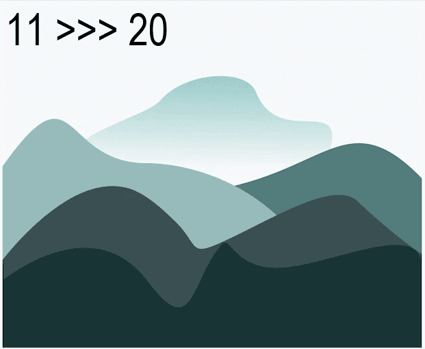
Mountains 11 to 20 … Pillar (11) = 6.8m & 2944ft a W8~ Nethermost Pike (12) = incorporated with HelvellynW9~Esk Pike (14) =incorporated with Great End W11~ Raise (15) & White Side (19) = 8.6m & 2711ft a W12&16~Fairfield (16) = 9.3m & 3058ft aW13~ Blencathra (17) = 5.7m & 2833ft a ~ Skiddaw Little Man (18) = 7.7m & 2327ft a W15~
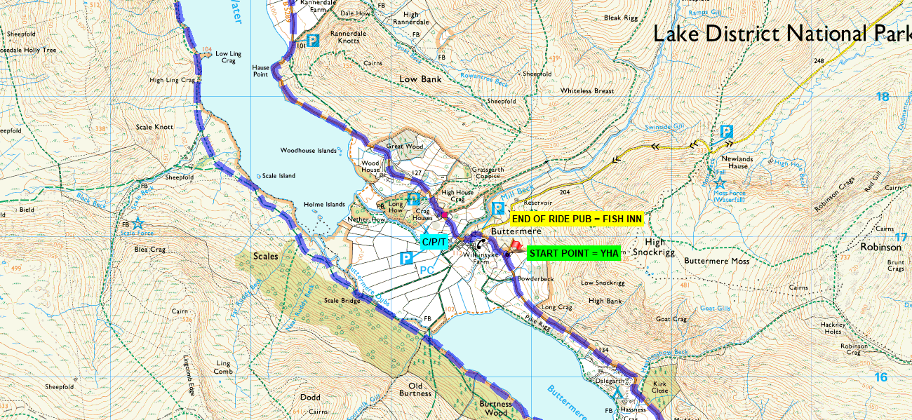
12. Buttermere, 10. Crummock Water & 14. Loweswater – 17.3 m / 1624 feet of ascent & descent. NOTE – The path around Buttermere has been upgraded (2021), making it wider and smoother … and even includes a surprise tunnel section(?).
9. Wast Water – 9.3 miles / 816 feet ascent & descent. NOTE – The southern side is extremely tricky, accessible by foot ONLY.
8. Ennerdale Water – 7.3 miles / 453 feet ascent & descent
7. Thirlmere, 13. Grasmere & 15. Rydal Water – 26.7 miles / 3174 feet of ascent & descent
6. Haweswater – 10.4 miles / 1454 feet of ascent & descent
5. Coniston Water – 15.4 miles / 1357 feet of ascent & descent
4. Bassenthwaite & 3. Derwent Water – 27.2 miles / 3142 feet of ascent & descent
2. Ullswater – 22.7 miles / 2800 feet of ascent & descent
1. Windermere & 11. Esthwaite Water – 34.3 miles / 3034 feet of ascent & descent
~
~
~
Circumnavigating individual lakes is not exactly a new idea (“KMF 3 Peaks Challenge”/”Ullswater Way”), but what I have done for the purposes of this project is to break down the routes into manageable segments by utilising the excellent bus and ferry services to access the start/finish points).
~
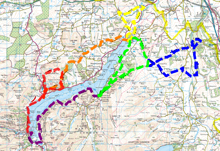
Ullswater Way
STATISTICS…
AIRA FORCE > GLENRIDDING ~ 7.2 MILES / 1600 FEET ASCENT / PEAKS @ 1531 FEET
POOLEY BRIDGE > AIRA FORCE ~ 6.7 MILES / 1400 FEET ASCENT / PEAKS @ 1262 FEET
DALEMAIN LOOP ~ 5.7 MILES / 700 FEET ASCENT / PEAKS @ 634 FEET
HOWTOWN CIRCULAR ~ 8.7 MILES / 1100 FEET ASCENT / PEAKS @ 1077 FEET
LOWTHER CASTLE LOOP ~ 8.3 MILES / 1000 FEET ASCENT / PEAKS @ 1101 FEET
HOWTON > GLENRIDDING ~ 6.7 MILES / 1000 FEET ASCENT / PEAKS @ 690 FEET
~
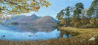
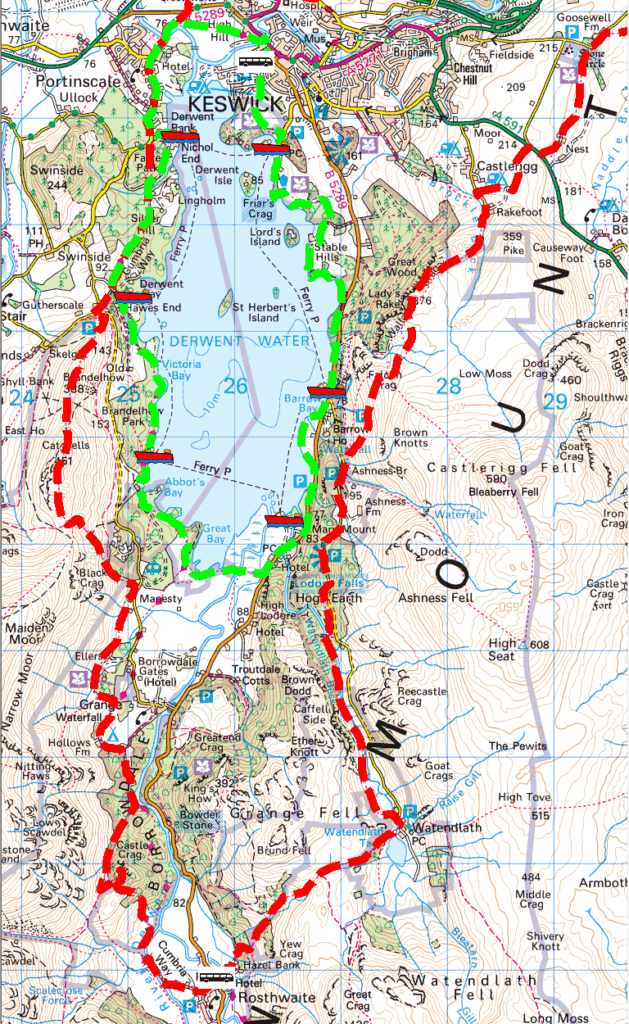
Derwentwater Way
There are two options …
A low-level, shore-hugging version of 9.1 miles and 563 feet of ascent. Advisable to walk in an anti-clockwise direction.
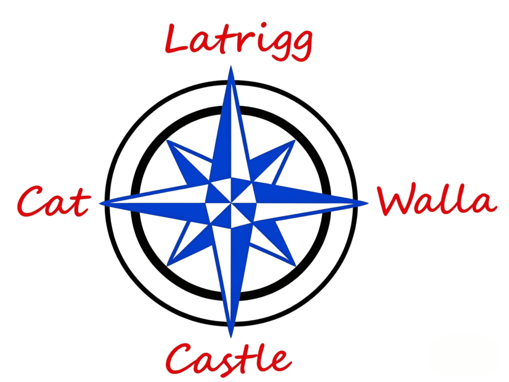
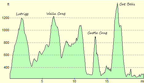
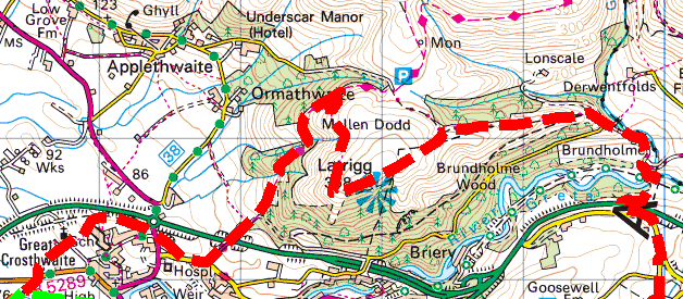
A higher-level route that takes in the classic peaks of Latrigg, Walla Crag, Castle Crag and Cat Bells (“The Four Tops”). The statistics are 20.8 miles and 4961 feet of ascent. Advisable to walk in a clockwise direction and allow plenty of time to complete (10 hours).