Navigation Course
There is something very rewarding and satisfying about teaching ... watching students learn, develop and further their skills (in this case – all things navigational!). Although originally intended with youngsters (16+) undertaking their Duke of Edinburgh Awards in mind, with limited resources of their own, it is open to anyone with a good level of fitness, a real desire to learn and a passion for the fells. The ratio of myself to the group is up to 1:4. This has been a learning curve for me too, I am always seeking ways to improve and fine-tune the course, and thus have put a greater emphasis on pre-lesson homework. I genuinely do believe that I have come up with something special(?).
Once you have mastered the principles of navigation, I guarantee that you will look at the map in an entirely different way and begin to understand the wealth of information that it is telling you. This will enable you to start planning your own walks, that are entirely tailor-made for your own or group’s requirements.
The syllabus is entirely my creation, dealing exclusively with navigation (although I am more than happy to discuss kit, health & safety and environmental matters informally en-route) and is to a level that matches the NNAS Gold standard. One key advantage to the programme is that by having a gap between each lesson, allows the participant time to go over any particular area that requires more study.
Broken down into six manageable parts, each part introduces a different major aspect of navigation. Oh yes … there are six fantastic walks in the bargain! Although this is FREE, some have donated (ENTIRELY VOLUNTARILY) to our club in the past, ALL proceeds being put back into the course. My ambition is not driven by commerce, but to pass on what knowledge I have, for future generations to get the most out of our magnificent outdoors.
LAST REVISED 2023

1. Goyt Valley, High Peaks =
“What’s In A Map?”; maps and scales / grid references
2. Knowl Hill & Rooley Moor, South Pennines =
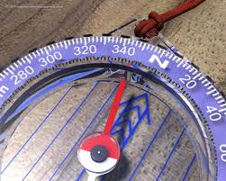
“Directions & Distances”; the compass / magnetic variation / bearings / pacing / timing
3. Kinder Scout, Dark Peaks =
“Tricks & Techniques”; attack points / aiming off / boxing / handrailing / collecting & catching features
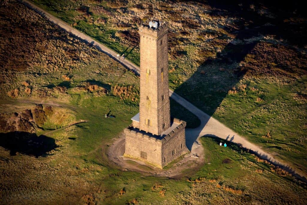
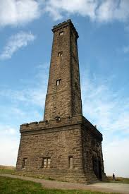
4. Holcombe Moor, West Pennines =
“Pinpoint Accuracy”; searches / leapfrogging / drift / parallel error
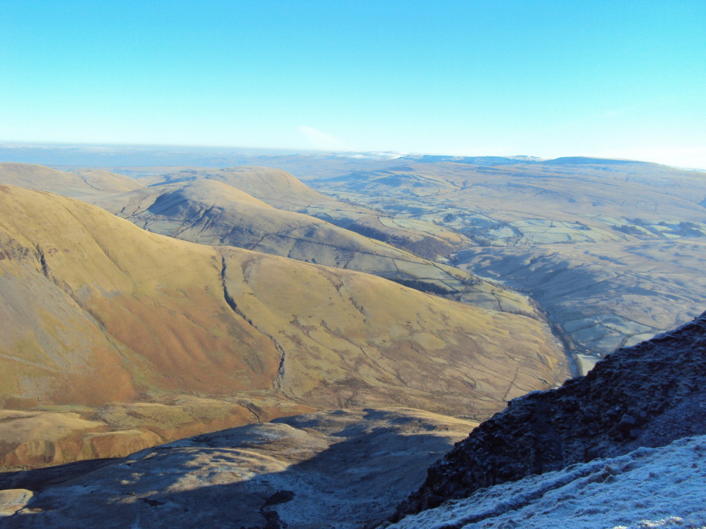
5. Howgills, Cumbria =
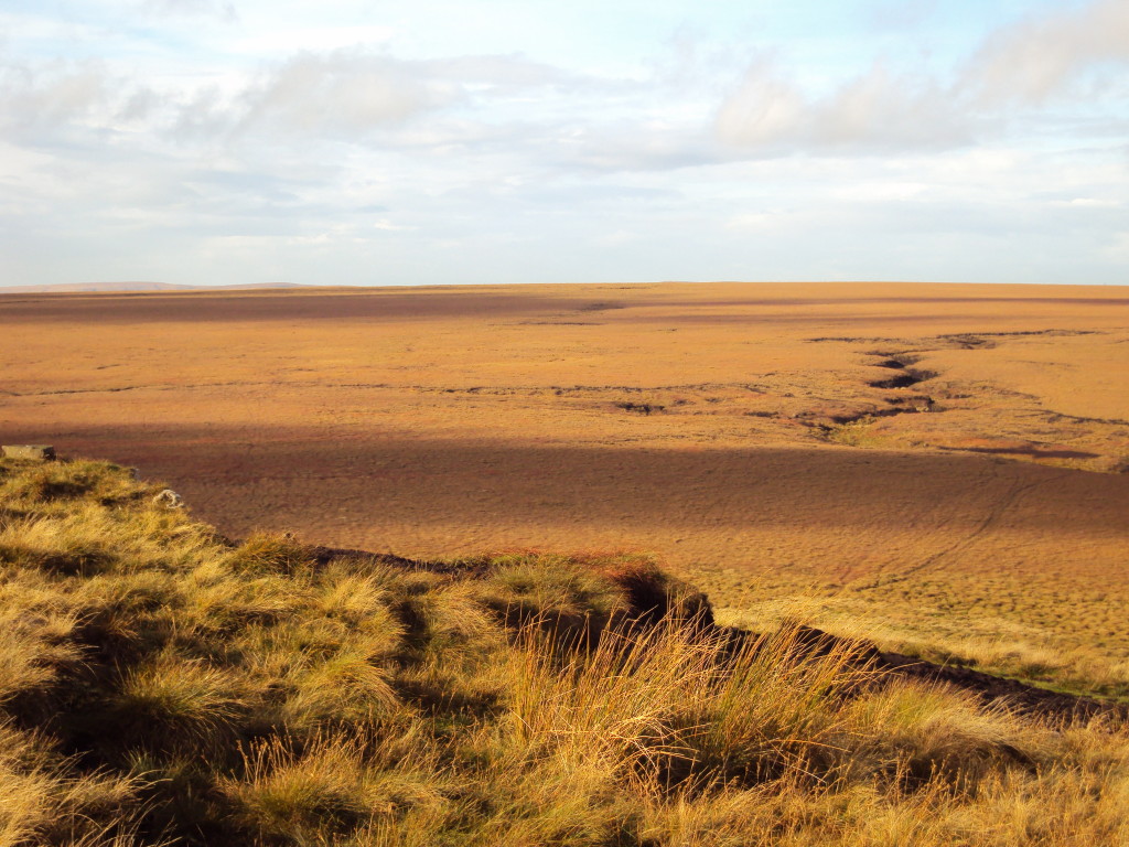
“Topography”; contours / aspect of slope / feature interpretation / contouring / C.R.O.W.
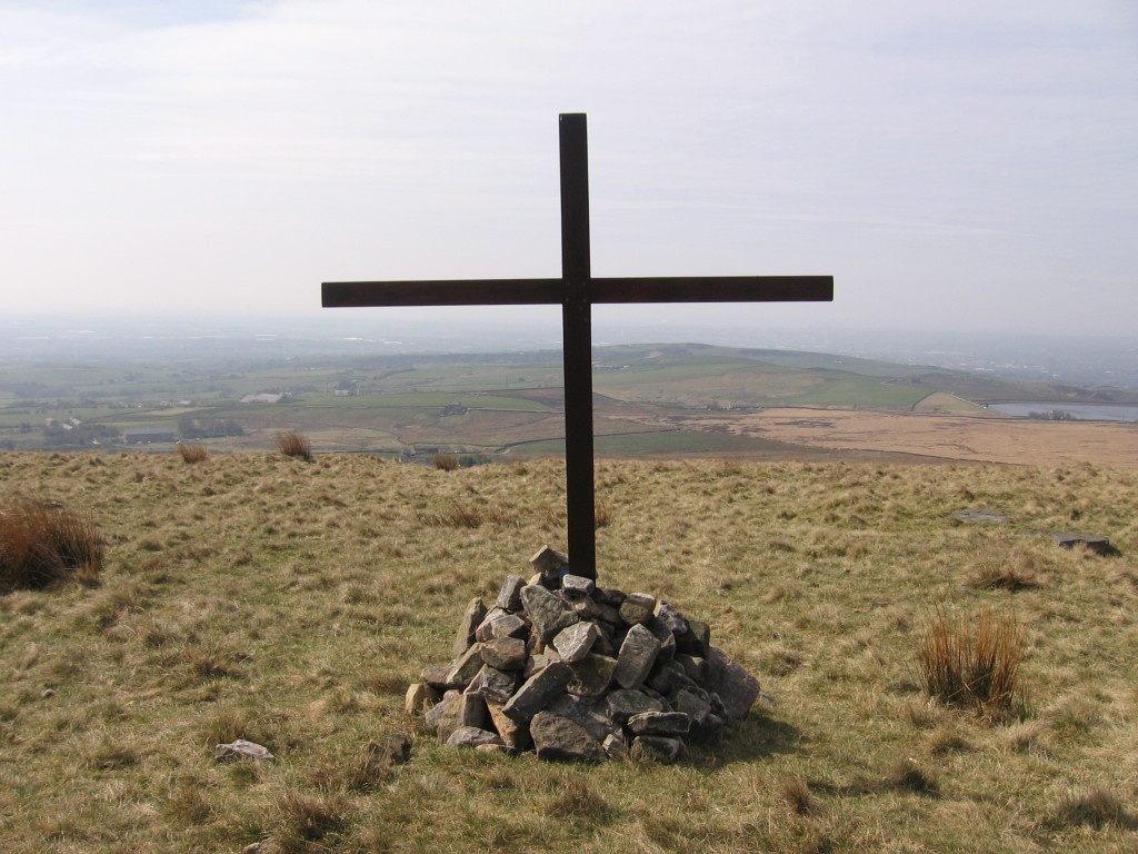
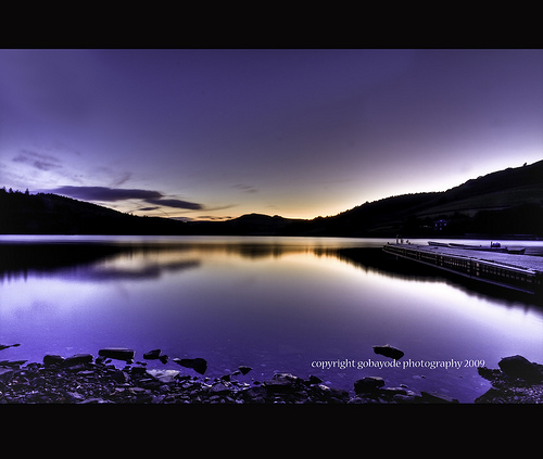
6. Ladybower, Dark Peaks =
“Blind Vision”; torches, night vision, planning & practice

SAMPLES:
Follow-Up Routes =
I have compiled a four-part series of walks for the students who have completed the above. These are self-led and are intended to give vital practice and to build confidence. There is one for each of the ‘Big Four’ areas … Peaks, Dales, Lakes and Snowdonia. Additionally, I have produced a practice night walk, located on my own doorstep … I promise it will test your ‘kit & wit'(?)!
This is in no way intended to replace any official course, but merely to give an introduction to the terminology and features of the hills … applying what is on the map, to what is on the ground. It is hoped to give confidence and inspiration to the participants. They may well then wish to embark on a formal qualification(?).
I have included a night navigation lesson. It can be immense fun but has a very practical and serious application. It usually takes place in the Winter months, starting in the afternoon and entering into the hours of early evening.
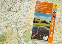
Kit requirements: Clothing and footwear appropriate for the hills are a mandatory requirement (ie. boots, waterproofs, warm fleece etc.). A packed lunch will also be needed. The only technical pieces of kit required are: a SILVA TYPE 4 compass (nothing more basic or nothing fancier!) and a head-torch for night navigation. The club owns plenty of spares of both, that I can lend out. I will issue (in advance) everyone with a digital printout of the relevant area. I have also compiled some comprehensive training notes* that accompany each lesson. You may wish to buy your own OS map (the best maps on earth!), for your personal reference and to kick-start your collection. The maps covering the course are: OL1, OL19, OL21, OL24 & 287 (additionally for practice routes: OL2, OL4 & OL18). If you own a GPS, then leave it at home … you won’t need it!