River Irk Walk
“… more mill seats upon it than any other stream of its length in the Kingdom”, and that “the eels in this river were formerly remarkable for their fatness, which was attributed to the grease and oils expressed by the mills from the woollen cloths and mixed with the waters ..”
The River Irk, and its surrounding green space, was once open countryside … with rolling green hills. It was a fast flowing river, which supplied clean water to the villages it passes through. The very name ‘Irk’ suggests indolence … however, it is named for quite the opposite reason, the word ‘Iwrck’ or ‘Irke’ translates to ‘roebuck’, a type of fleet-footed deer!
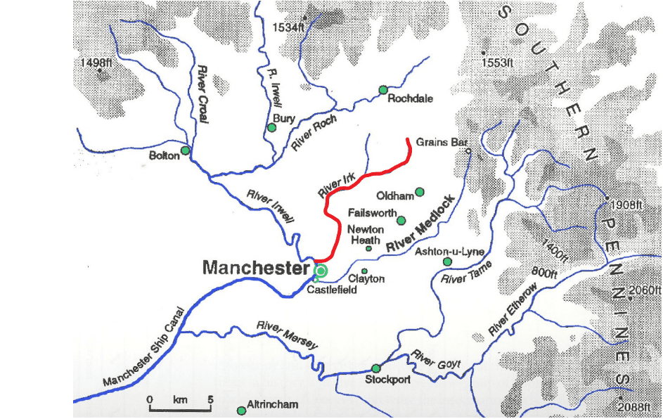
However, following the advent of the Industrial Revolution, that image changed radically. The River Irk was described in 1892 as “… not only the blackest, but the most sluggish of all rivers”! In addition to the mill seats upon the Irk (a mill seat refers to a designated physical location along a riverbank where a water wheel could be positioned to harness the water’s flow for industrial power), its tributaries were culverted, where it became convenient, allowing urban developments to expand. The most notable culverted section flows underneath Manchester’s Victoria Railway Station … into a cavernous brick tunnel at Ducie Bridge, ending its journey at the Irwell basin beneath the railway viaduct.
At the decline of the Industrial Revolution, the Irk and its surrounding green space were left in a sad and neglected state. The most recent assessment of the River’s water quality, in 2007, was determined as “Moderate”, meaning that the River is now supporting ecological life, but there is still room for improvement. The aim of the Environment Agency is to improve the water quality to “Good” by 2027.
Although there are significant pollution obstacles that still face us … illegal discharge, surface water runoff, waste from car washes, the boom in housing putting a massive strain on utility infrastructure etc, .. there are filter tanks, screens and other pro-environmental measures in place. I met Luke, one of the rangers, on my walk, he painted a sanguine picture and assured me there is significant plant and wildlife returning to the river … his optimism was infectious!
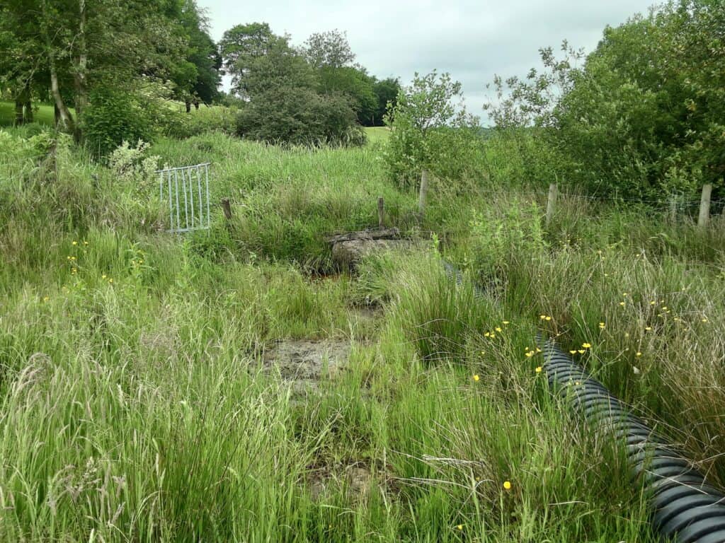
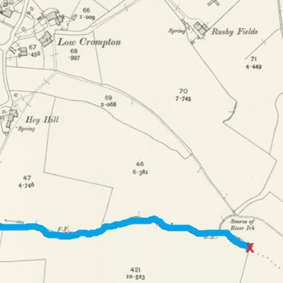
The Source, Low Crompton
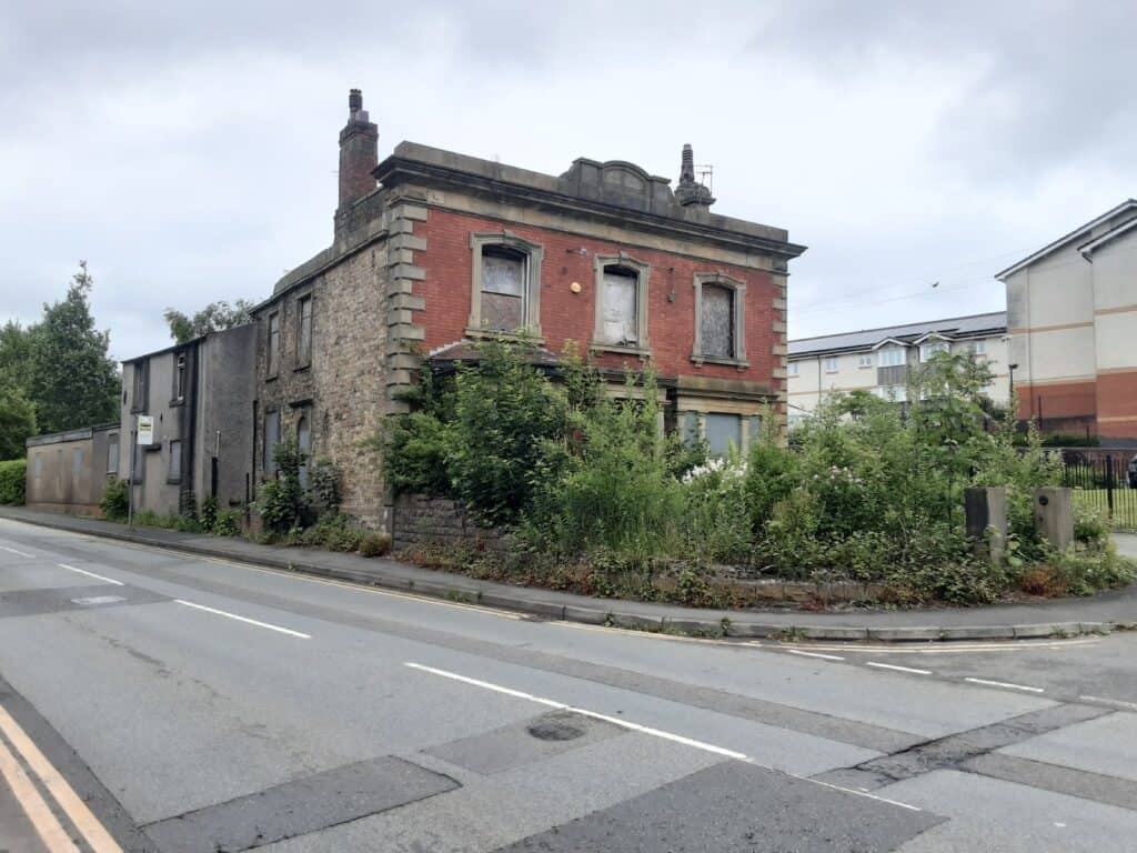
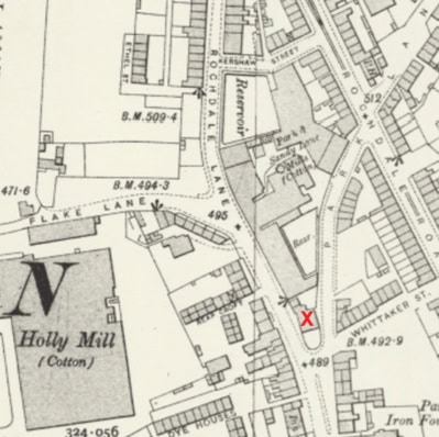
Park Lane House, Royton … elegant Victorian dwelling > elderly care home
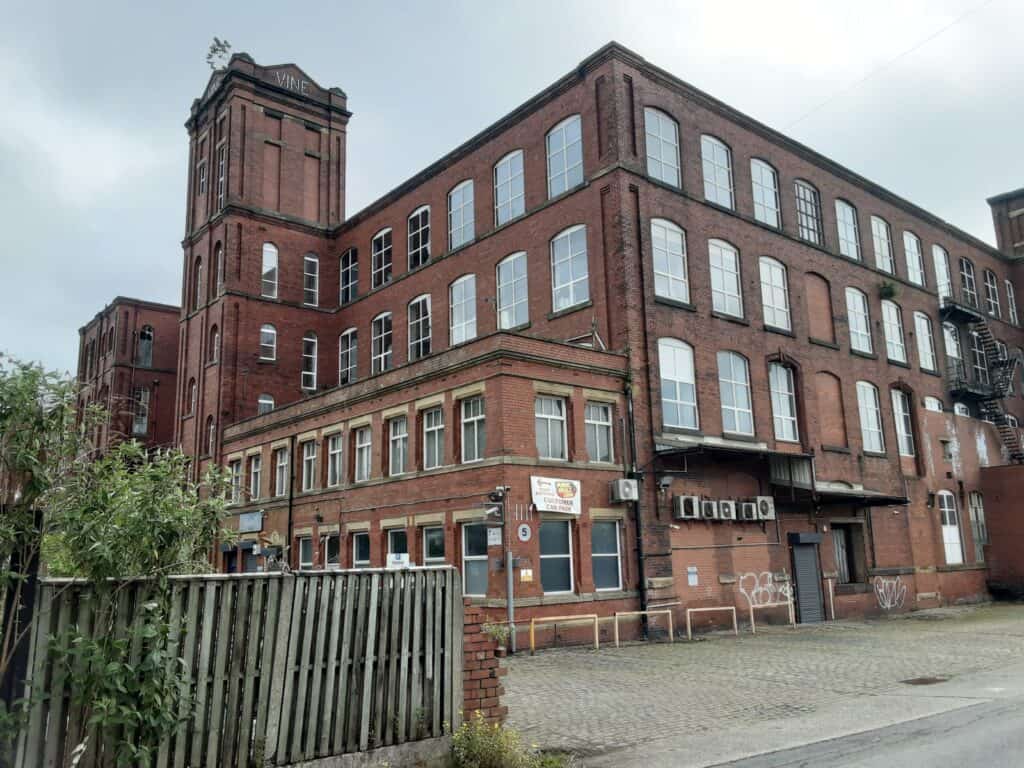
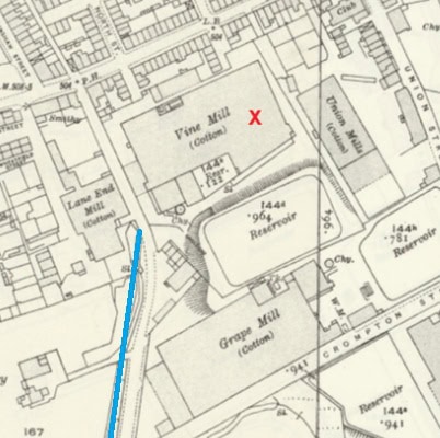
Vine Mill, Royton
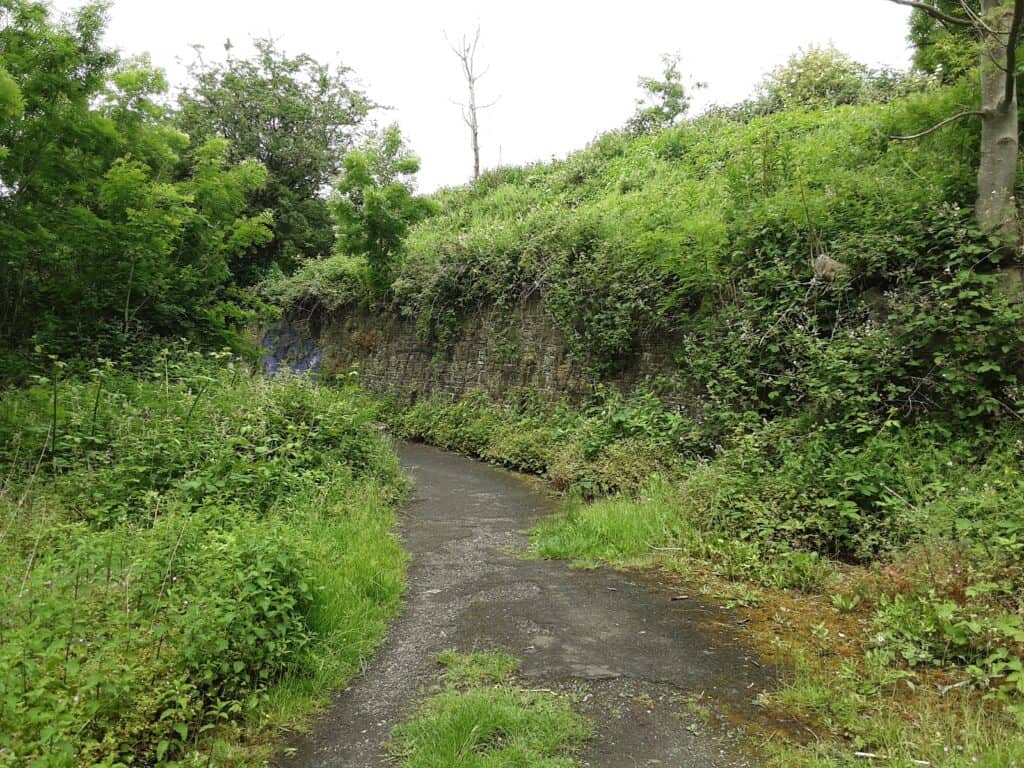
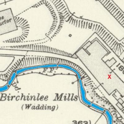
Birchinlee Mill, Buckley Wood … ‘wadding’ is the fluffy, insulating layer placed between fabrics quilts or garments
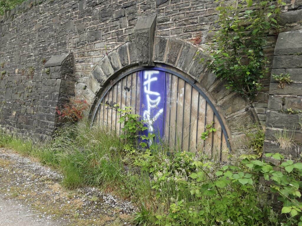
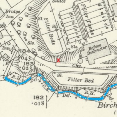
Royton Sewage Works, Buckley Wood
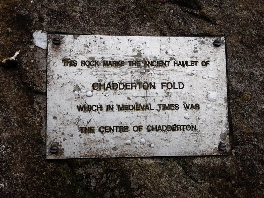
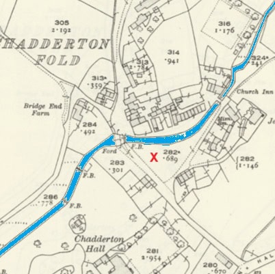
Chadderton Fold
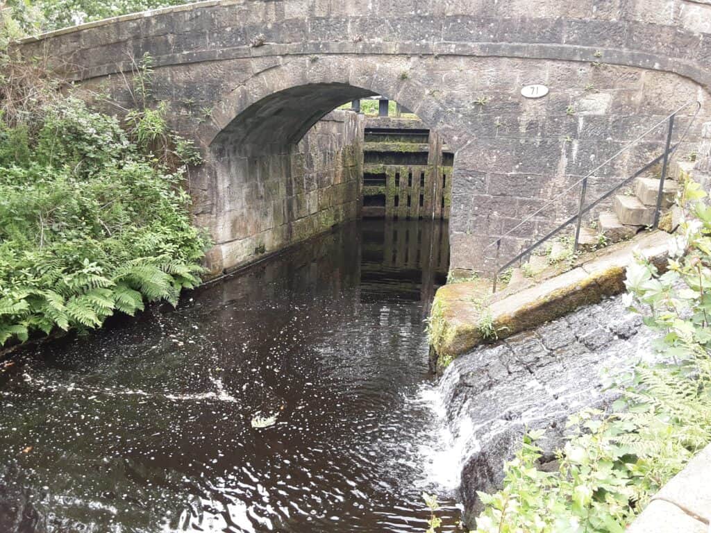
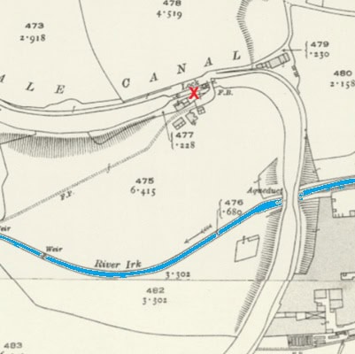
The Rochdale Canal, Acres
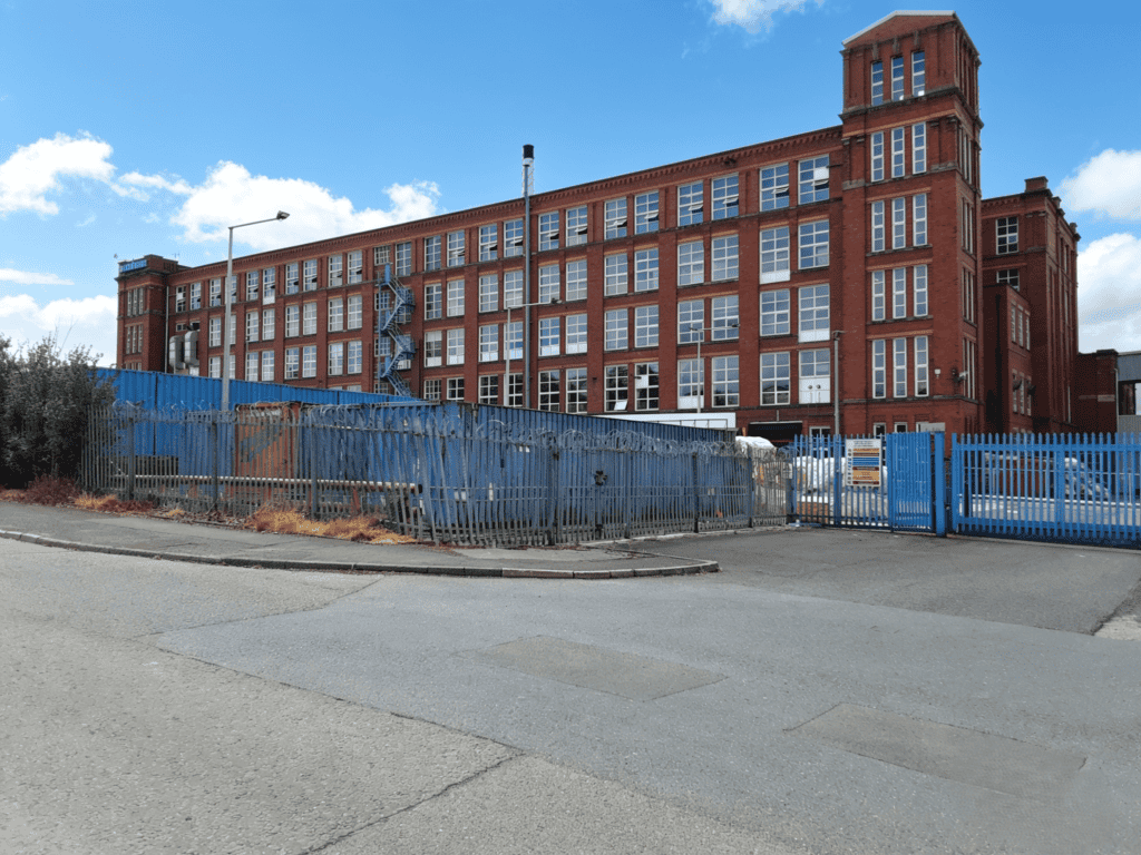
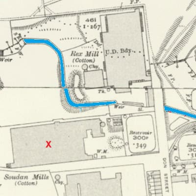
Soudan Mills, Mills Hill
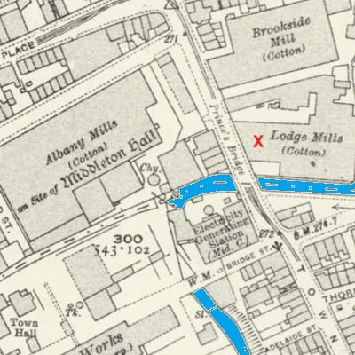
Lodge Mills, Middleton
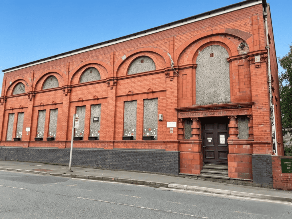
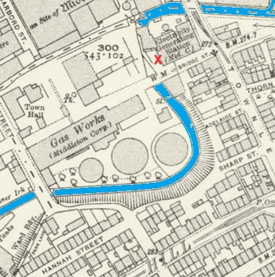
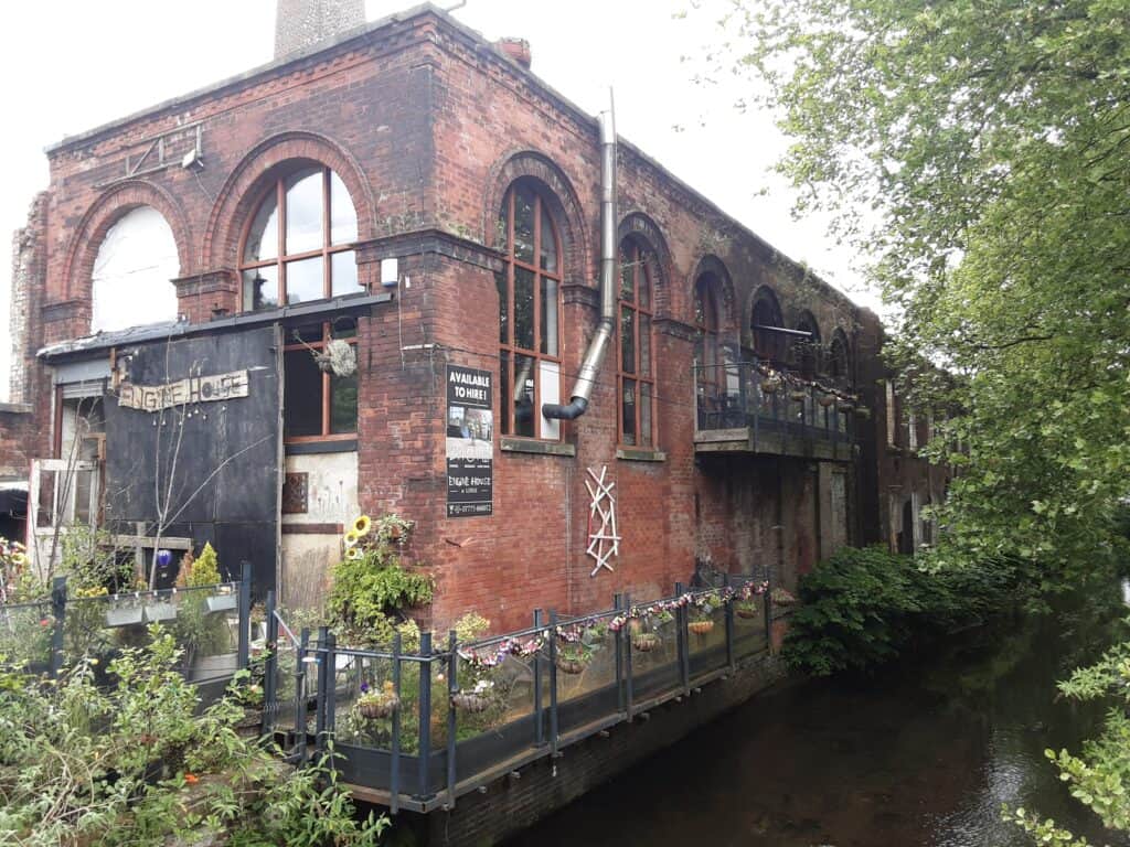
Electricity Generating Centre, Middleton
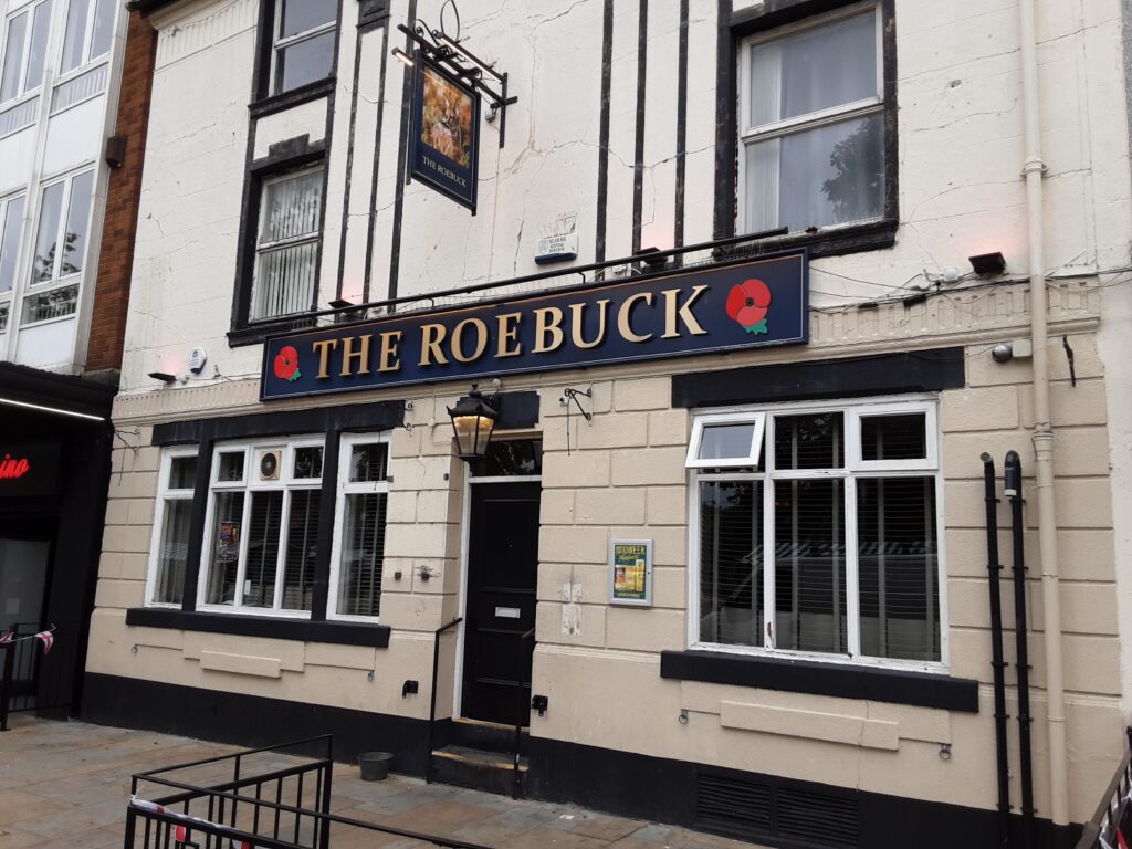
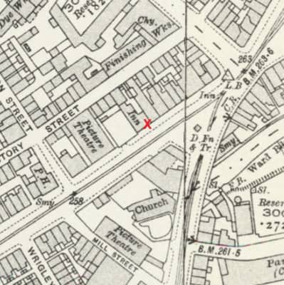
Roebuck Pub, Middleton … what’s in a name(?)
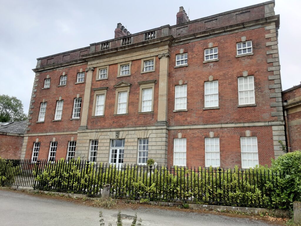
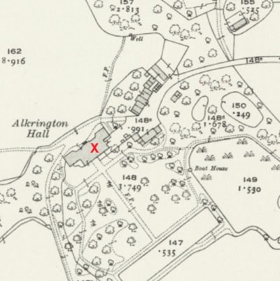
Alkrington Hall
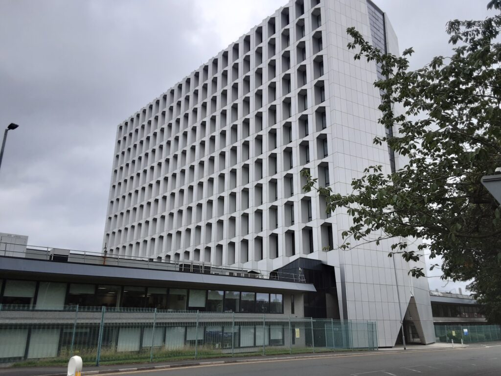
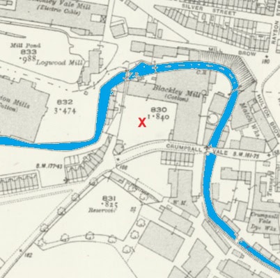
Hexagon Tower, Crumpsall … former ICI research, development and production centre
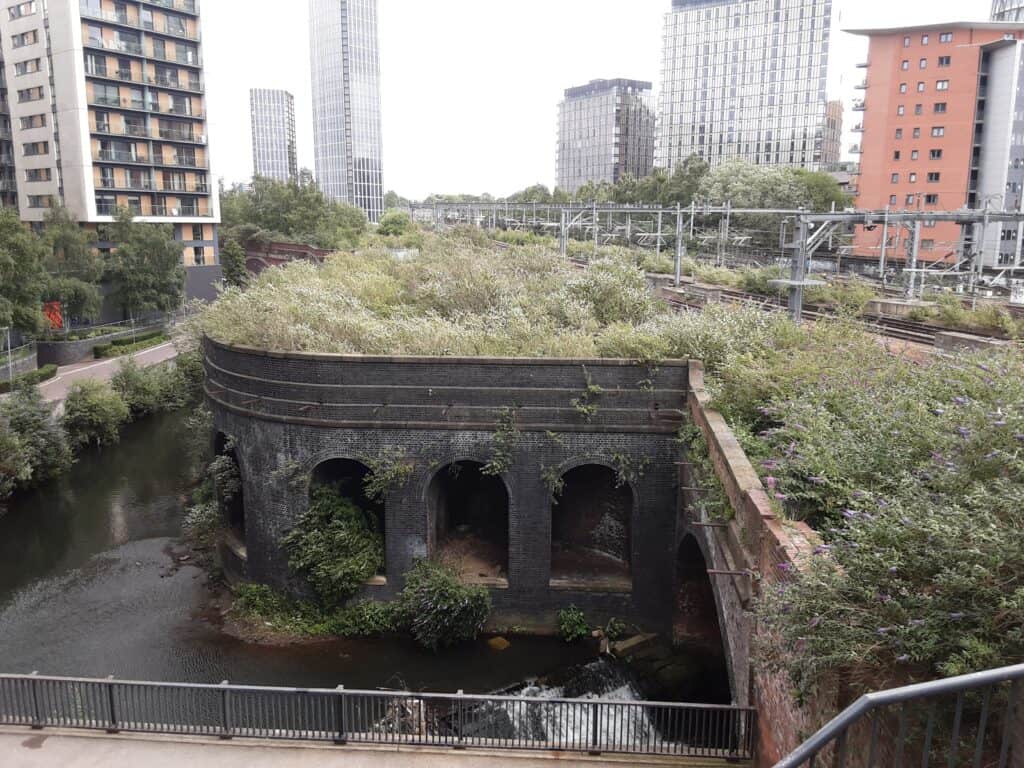
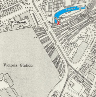
Going under Victoria Railway Station, Manchester
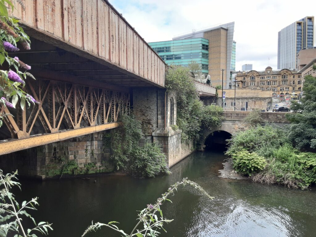
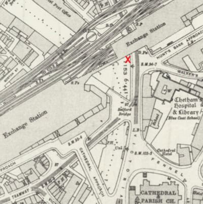
Irk meets Irwell, Manchester
My route… this far exceeding all expectations! The Irk starts its journey near Little Crompton, there is no evidence of industrial invasion here … so I reckon what you see to-day could be as it always looked(?).
Heavily culverted through Royton, when it does eventually rear its beautiful head, it makes for a reassuring sight. Places of particular interest include Buckley Wood and Chadderton Fold. A necessary short diversion (because there’s no river path) alongside the Rochdale Canal makes for a wonderful distraction and welcomed change.
The town of Middleton marks the halfway point, thereafter is a charming stroll through Alkrington Woods and Blackley “Forest”.
The area around Crumpsall is more interesting than it is beautiful (this definitely applies to Cheetham Hill), as is the approach into Manchester city centre … but the route does faithfully follow close to the river’s course.
Victoria Railway Station signifies journey’s end … cue an intriguing area called ‘Scotland’, this is where the Irk magnificently disappears beneath the station … it is tucked away, and probably few know of its whereabouts(?).
In summing up, this is another river walk where signposting provision could be better, and beware … not all the paths are on the map!
I followed the same format as the Irwell walk … noting points of interest that caught my eye along my merry way.
This concludes my tribute to the three main rivers of Manchester. I hope it inspires you to walk them yourselves(?).
ACKNOWLEDGEMENTS – Martin Cove / Ged Collins / Luke – United Utilities Ranger