River Irwell Walk
“… there are no fish, no insects, no weeds, no life of any kind except sewage fungus, nothing but chemicals and any dirt which cannot be put to profitable use ..”

The inspiration for doing this walk came from reading Cyril Bracegirdle’s “Dark River” … written in the 1970s, and in far grimmer times for the river. It paints a prophetically optimistic picture for the Irwell’s future revival.
This is the first of three walks that trace the course of the main rivers flowing into my home city of Manchester.
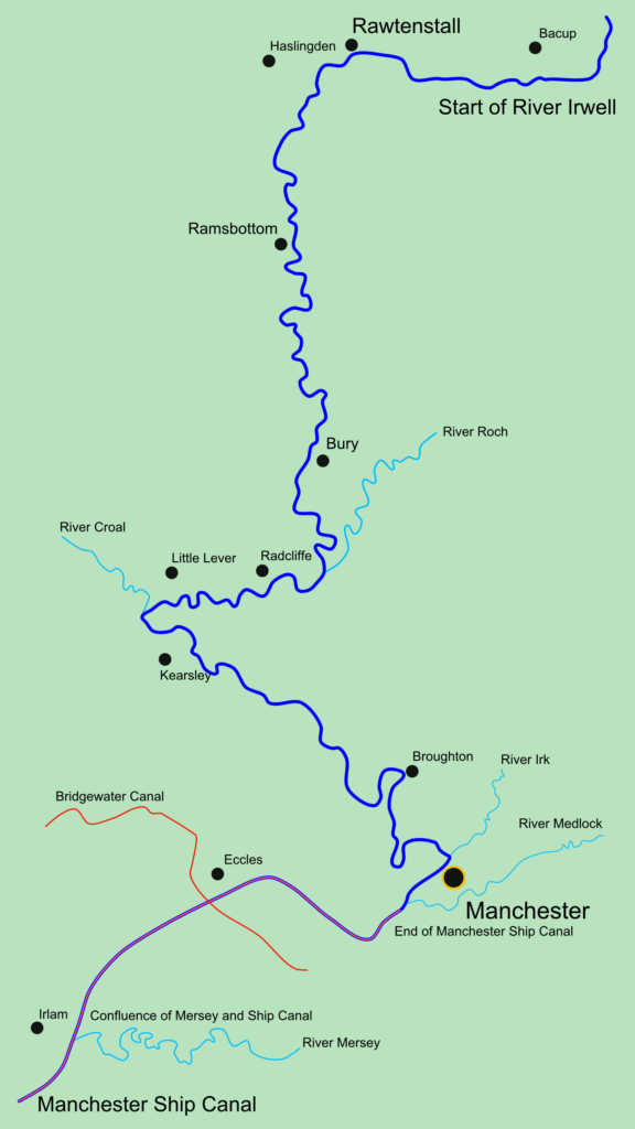
The River Irwell rises on Deerplay Moor above Bacup. It meanders for 39 miles until it merges with the River Mersey at Irlam. Along the way it flows through Manchester, forming a natural barrier with its neighbour … Salford.
The river was navigable in the early years of the cities’ developments. During the Industrial Revolution, the banks of the Irwell became home to a wide variety of factories and mills … the effluent from those establishments transformed it from a fish thriving waterway into a deadly drain!
In more recent times, huge efforts to reinvigorate the river have born fruit … fish and other wildlife have returned and the poison-spewing factories have been replaced with swanky apartments and hotels through the city centre!
My route … hugs the river as close as possible, using a variety of pleasurable trails and paths (not always easy to follow, due to poor waymarking!).
I was mesmerised by the industrial ruins and more modern quirky features that I encountered along the way and have tried to replicate and share, in photo format, some of the intriguing sights I witnessed en-route.

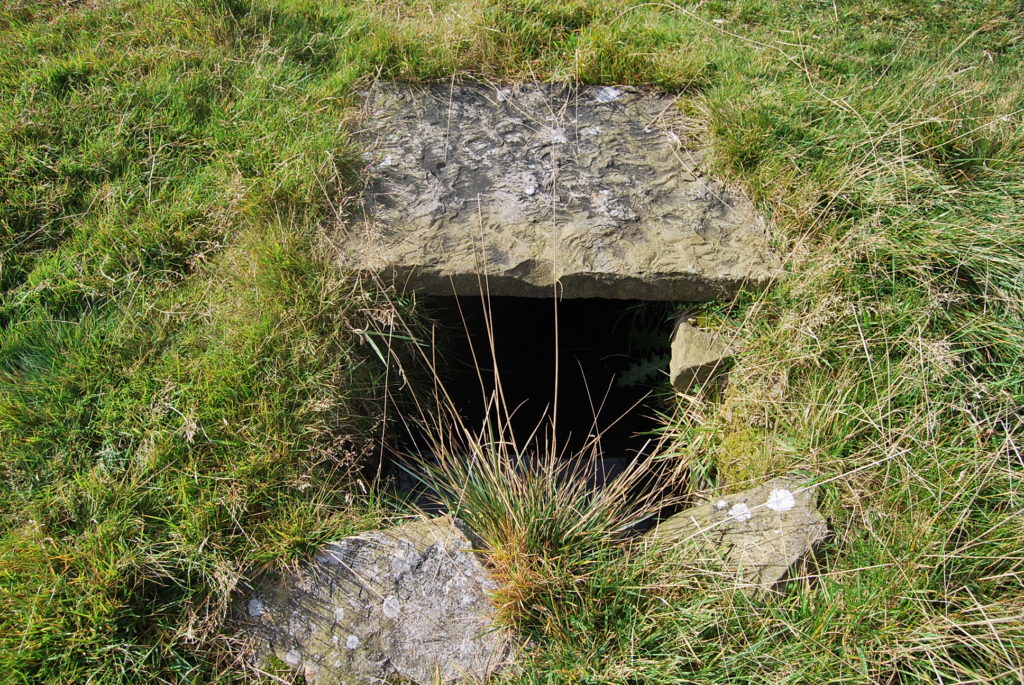
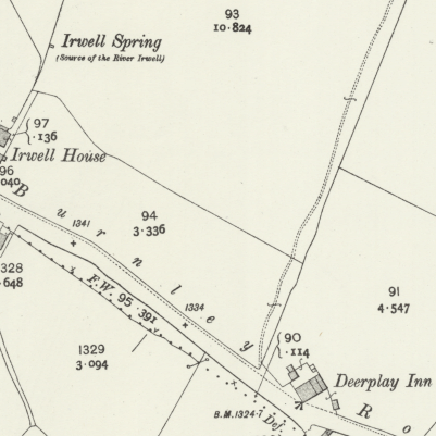
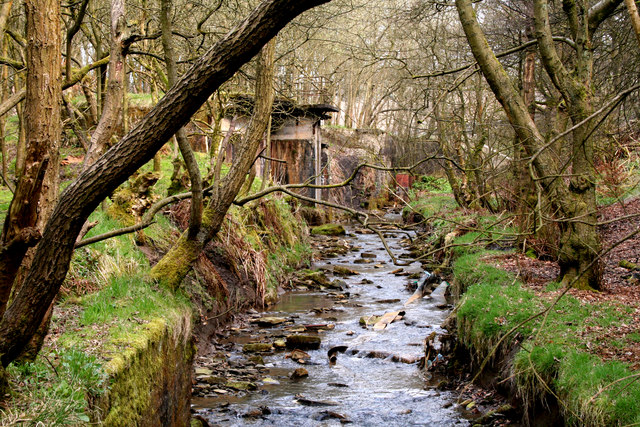
Irwell Springs, Deerplay Moor
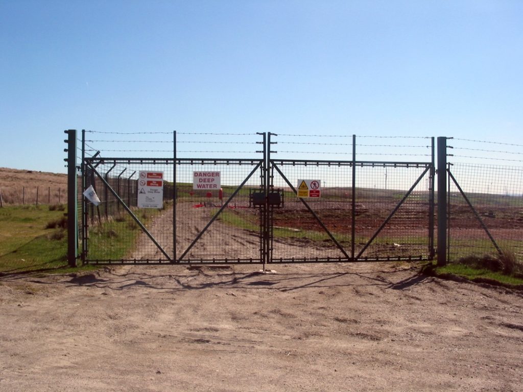
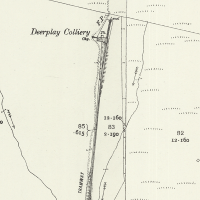
Deerplay Colliery, Deerplay Moor
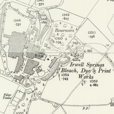
Irwell Springs Bleach Dye & Print Works, Weir
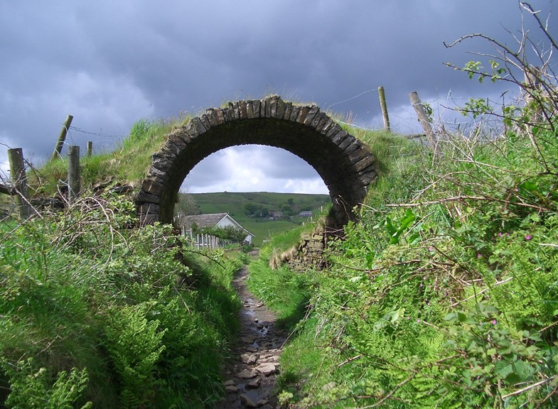
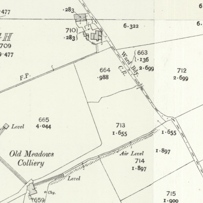
Cow Toot, Bacup
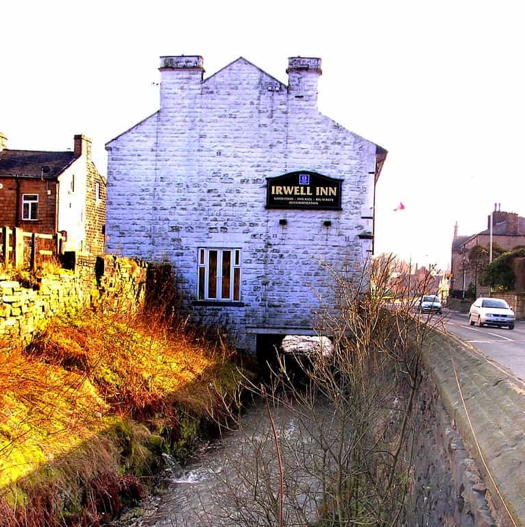
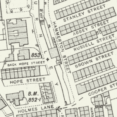
Irwell Inn, Bacup
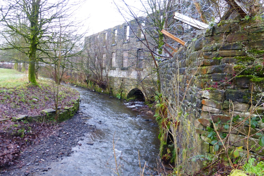
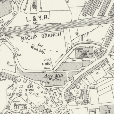
Acre Mill, Nun Hills
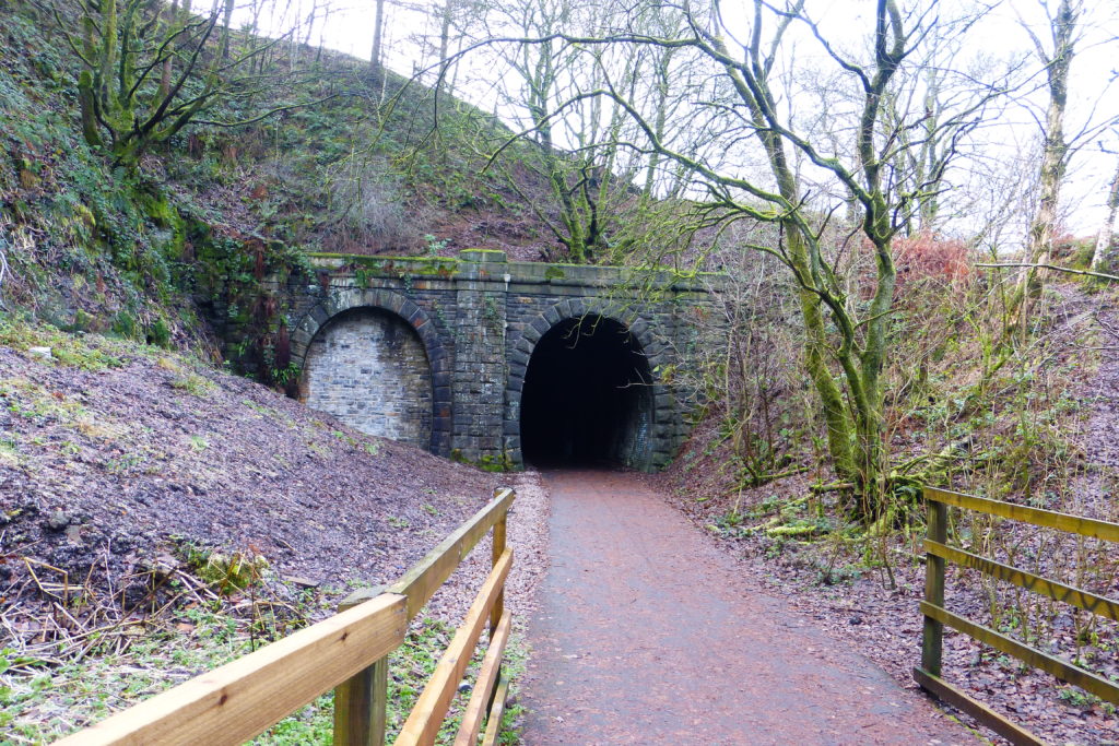
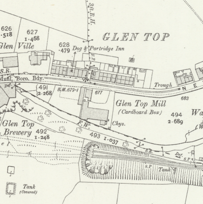
Lancashire & Yorkshire Railway, Glen Top
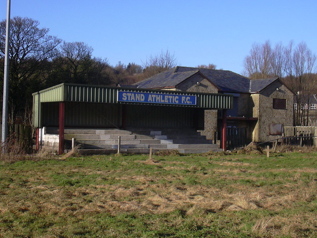
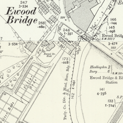
Disused Football Ground, Ewood Bridge
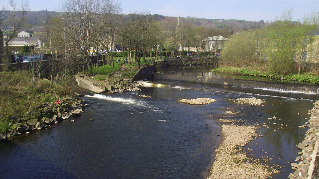
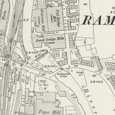
Ramsbottom Bridge
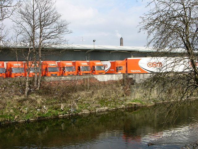
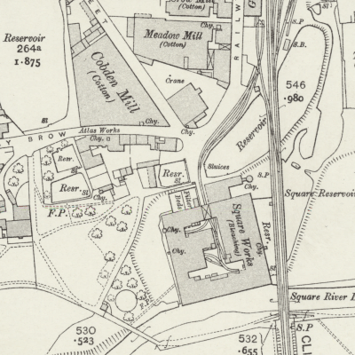
Square Works, Ramsbottom
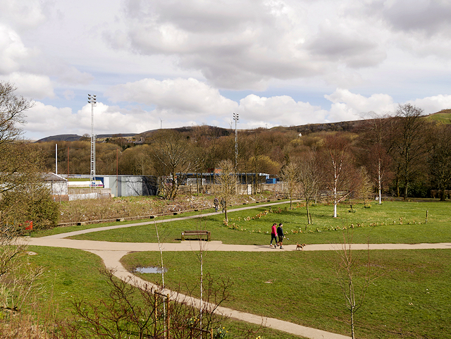
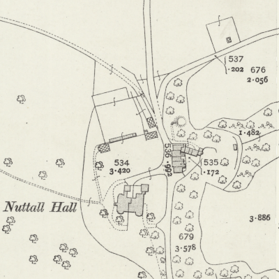
Nuttall Park, Ramsbottom
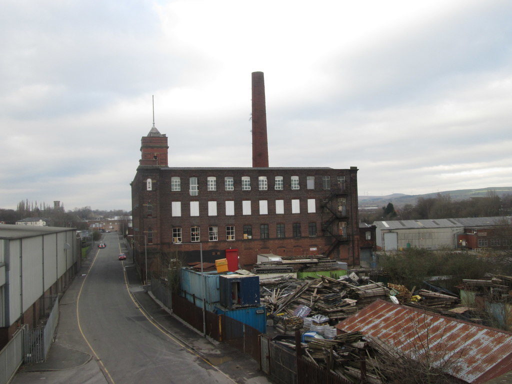
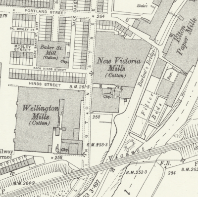
Wellington Old Mills, Elton
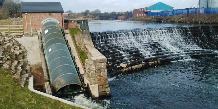
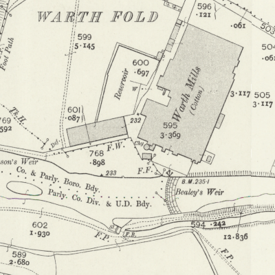
Bealeys Weir, Warth
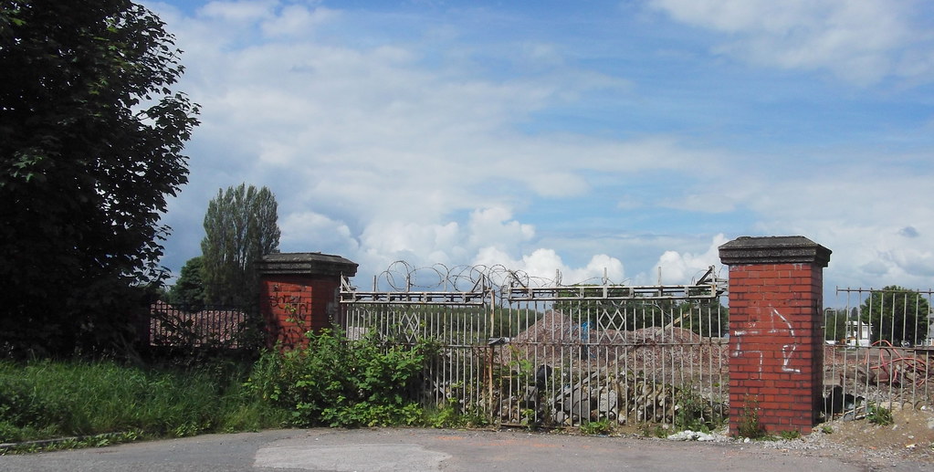
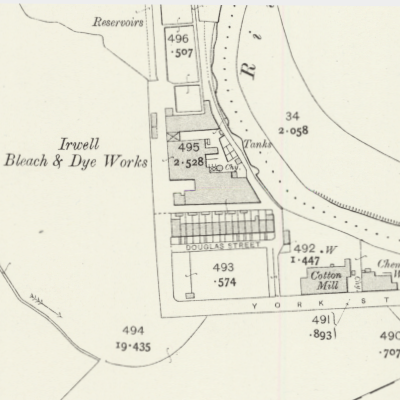
Irwell Bleach & Dye Works, Redvales
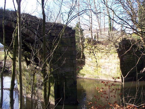
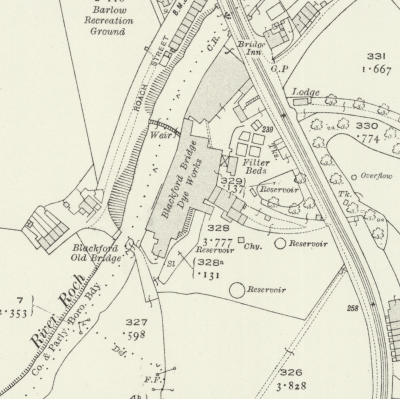
Old Bridge, Blackford Bridge
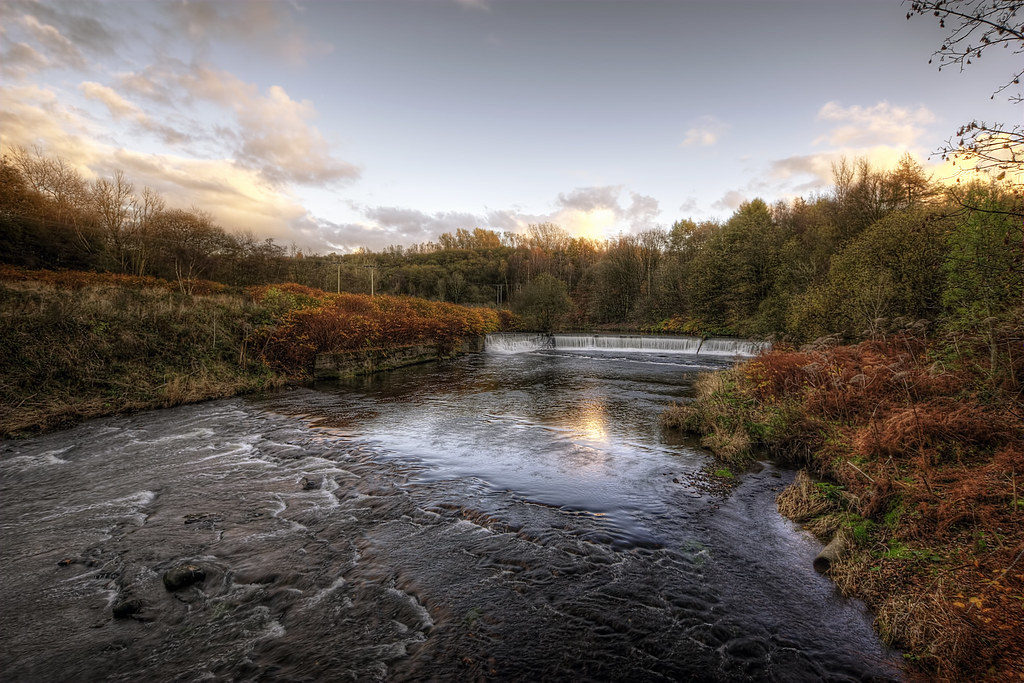
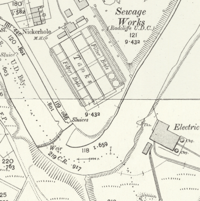
Mount Sion Weir, Bottom o’th’ Fields

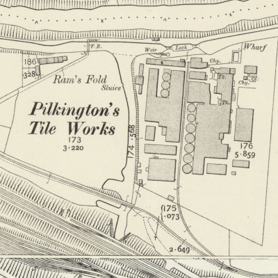
Pilkington Tile Works, Clifton
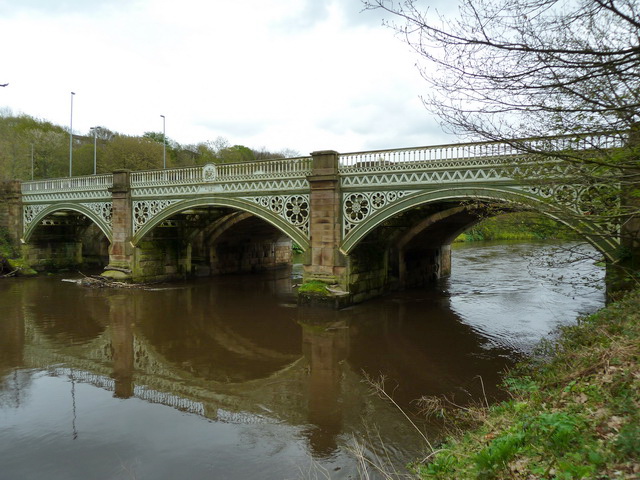
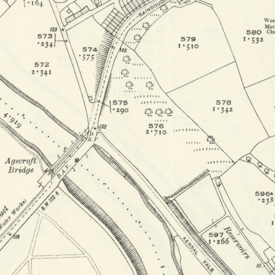
Agecroft Bridge, Rainsough
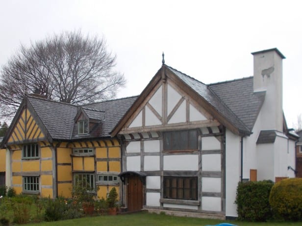
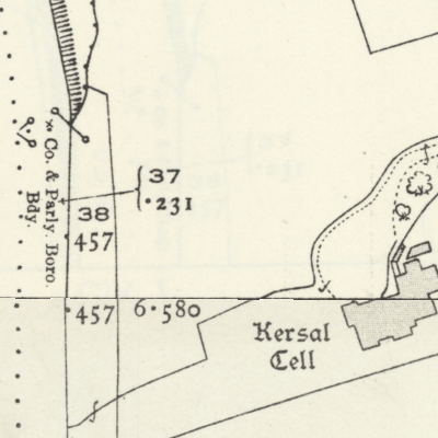
Kersal Cell, Salford
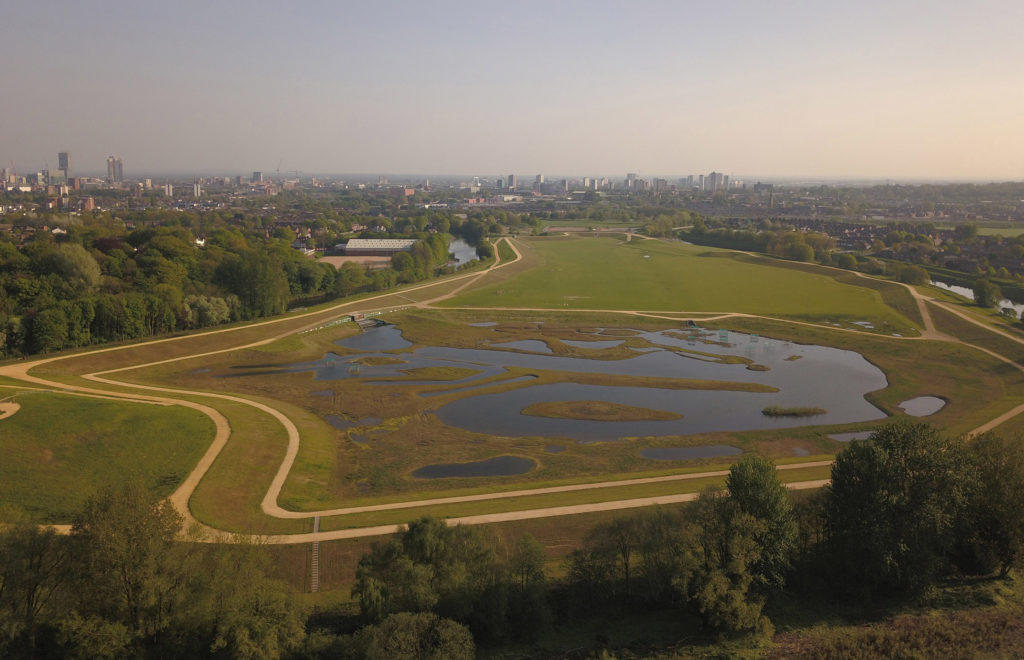
Kersal Wetlands ~ the site of Manchester Racecourse
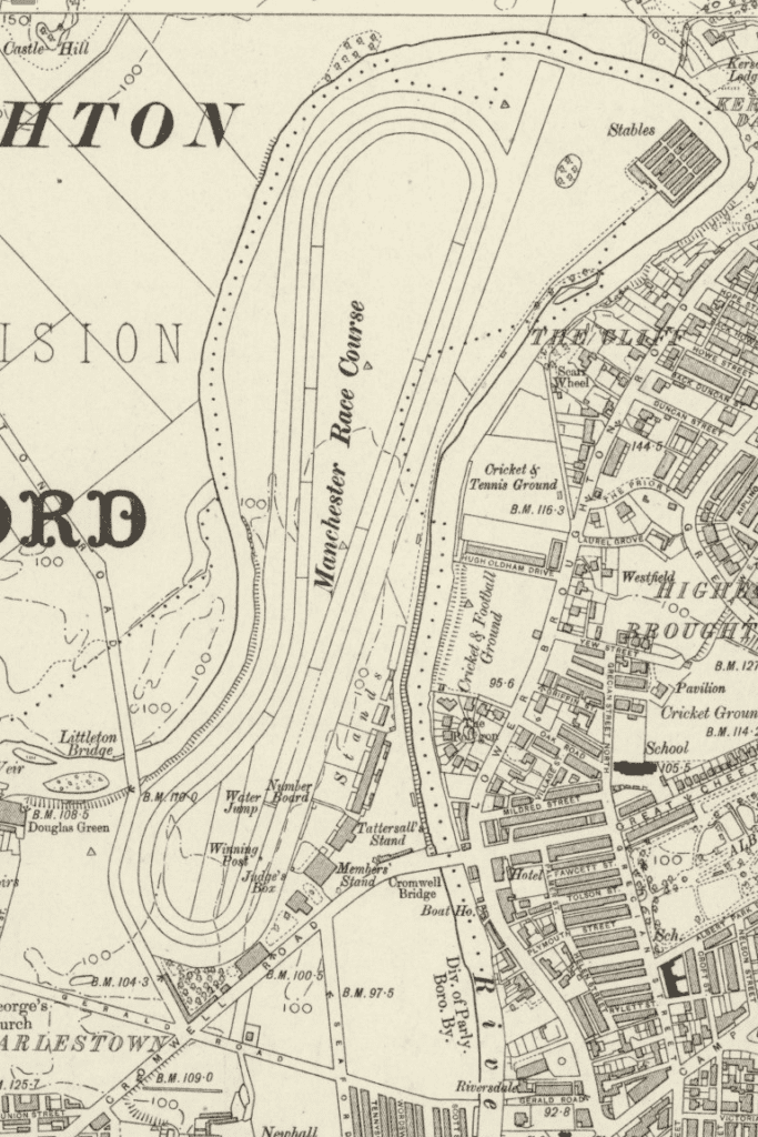
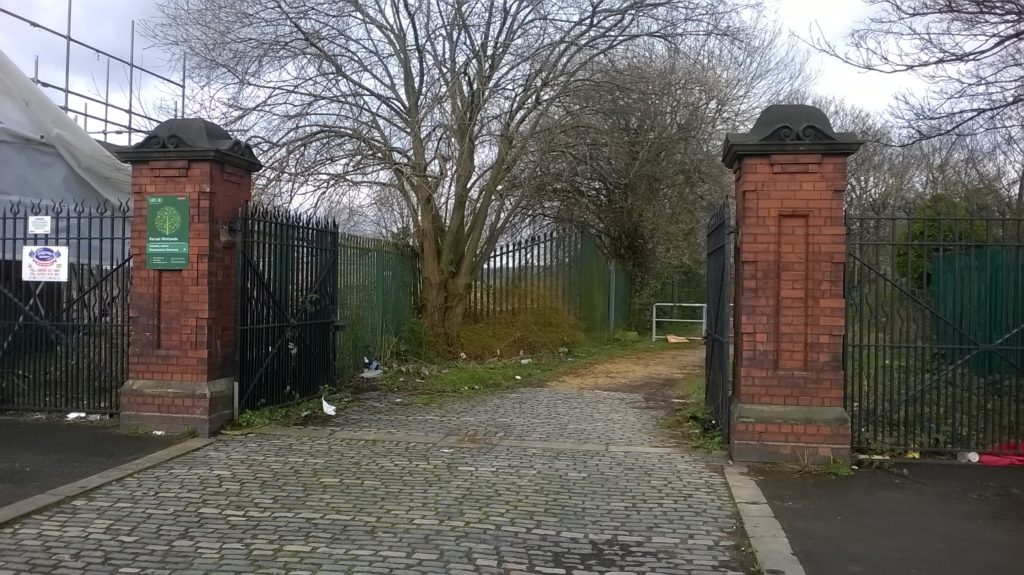
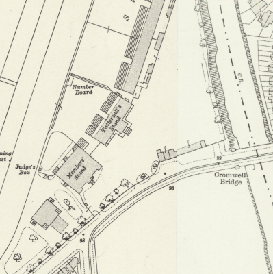
Racecourse, Lower Broughton
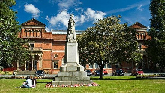
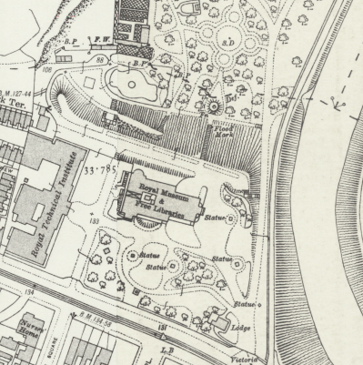
Peel Park, The Crescent
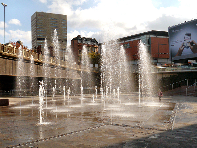
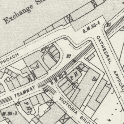
Greengate Fountains ~ the site of Victoria Bus Station
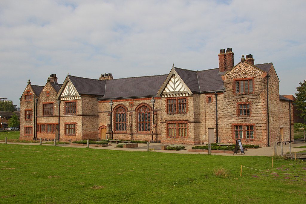
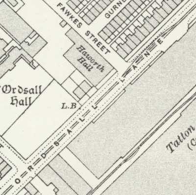
Ordsall Hall, Salford
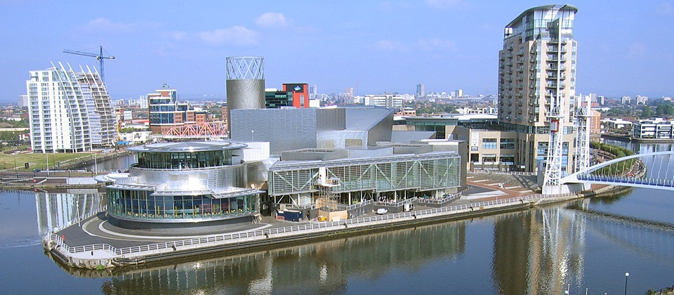
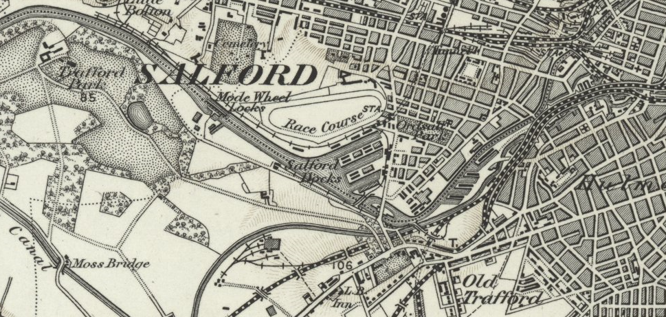
Media City, Salford Quays ~ ‘Manchester Docks’, Salford
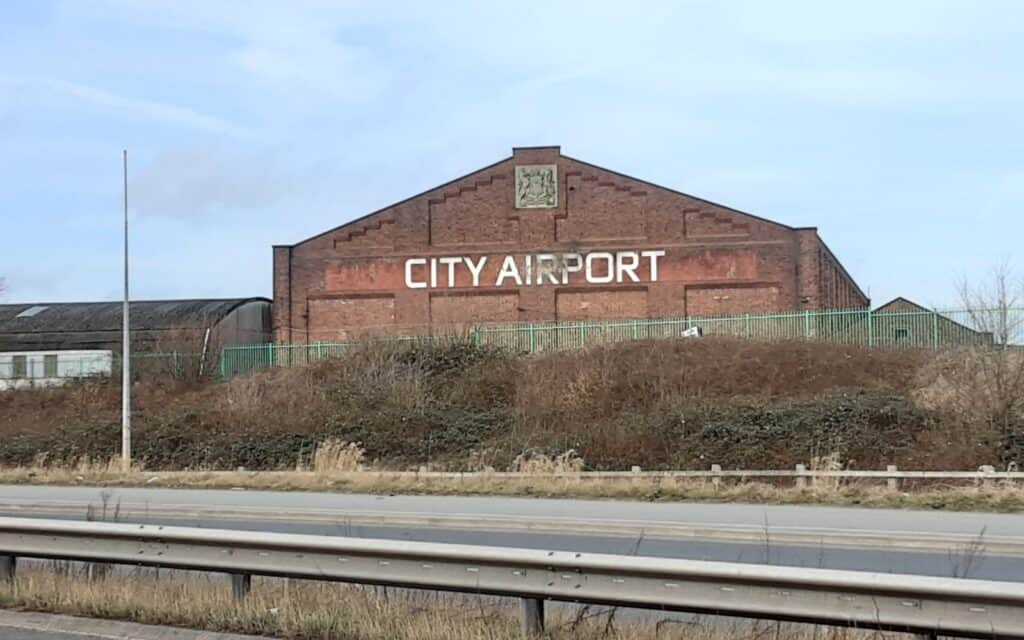
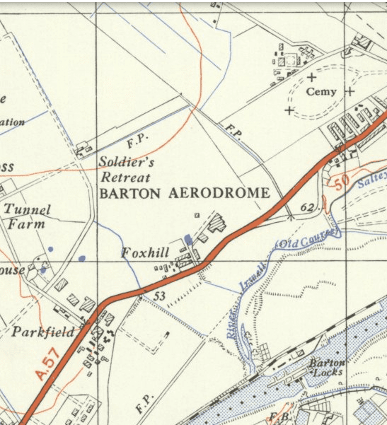
City Airport, Barton
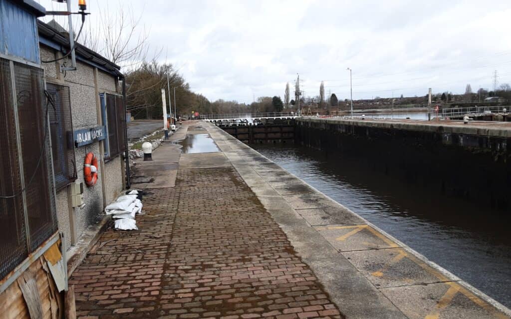
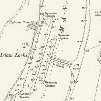
Irlam Locks
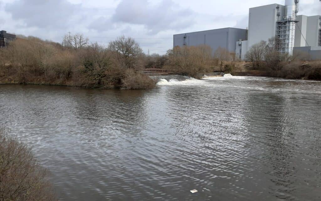
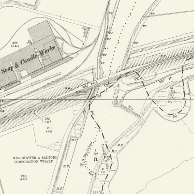
Irwell meets Mersey … journey’s end!
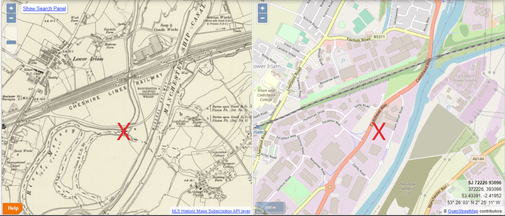
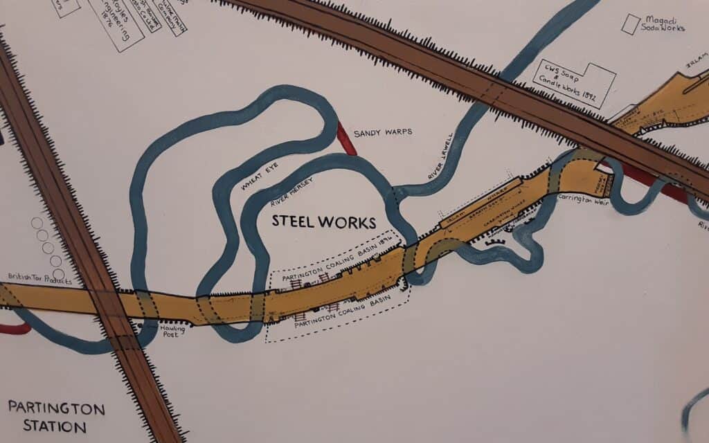
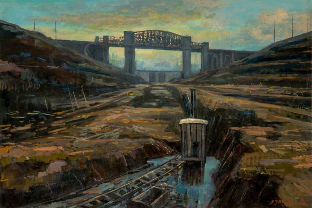
POSTSCRIPT – when the Manchester Ship Canal was constructed in the late 19th century, the meandering old courses of the Irwell and Mersey were sliced through in brutal Victorian fashion and their waters stolen to maintain the canal’s own level. Very little now exists of the old course of the Irwell except for the odd strange stranded ‘pond’. The images below show the old joining point and the last remnants of the original Irwell.
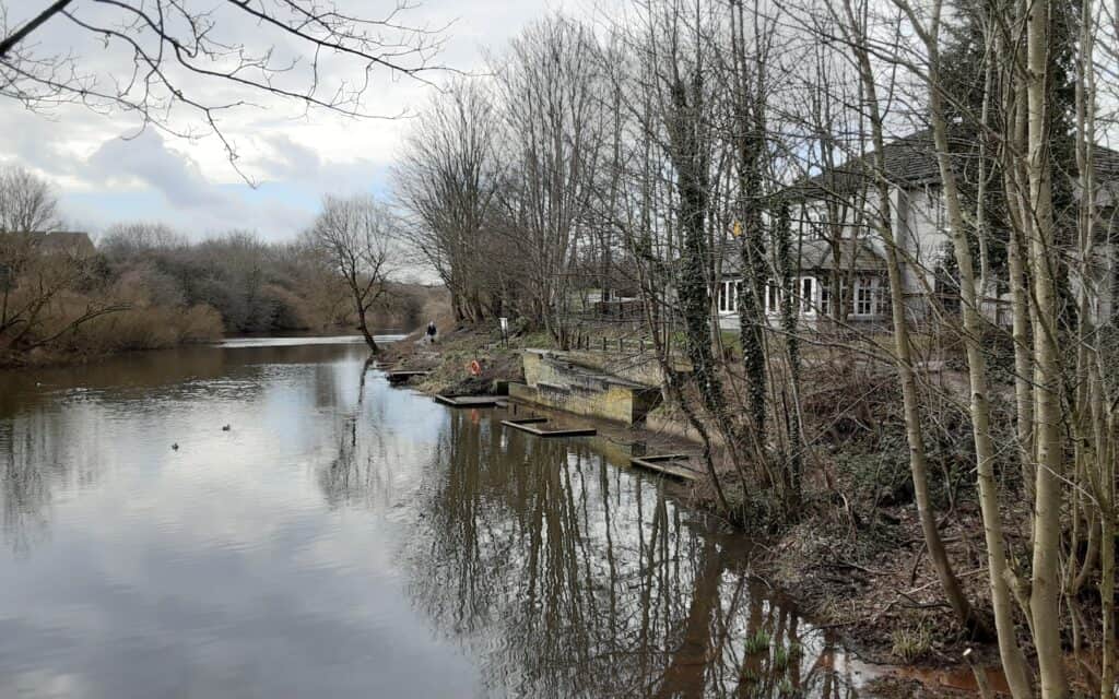
Boat House, Irlam
Could this be the old ending? … obliterated by modernity!
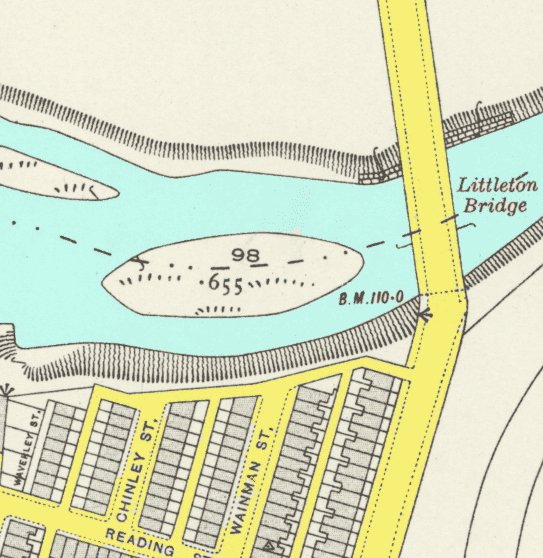
I dedicate this walk to a dear friend John Dalton, who was born on Wainman Street, Salford 6 … I think he’d have enjoyed this project!

John Dalton 1945 – 2019
Wainman Street … only yards away from the river!
ACKNOWLEDGEMENTS – my thanks to Linda, my much loved ‘other half’, for accompanying me around the Radcliffe and Prestwich sections. Through Salford I was also joined by Chris (another Lower Broughton lad) … a raconteur extraordinaire!
STATISTICS FOR MY ROUTE: 48.47 MILES / 2029 FEET OF ASCENT / 3335 FEET OF DESCENT
~
River Ogden Walk
Although the River Ogden is a “minor river”, it is a tributary of the Irwell and therefore warrants exploration … by way of a five mile walk.
Beginning on the moors of Haslingden Grane as Ogden Brook, it heads east, feeding Ogden and Calf Hey Reservoirs (Bury Water Board). It then passes through the Holden Wood Reservoir and collects Swinnel Brook in an area historically known as The Trippet of Ogden, becoming the River Ogden. Turning to the south, it passes through the Helmshore area of Haslingden where it is met by Musbury Brook and then Alden Brook, overlooked by Musbury Tor. Heading southeast it joins the River Irwell at Irwell Vale.


Source and Confluence


Lower Ormerod Farm and Loom


Musbury Quarry Tramway


Helmshore Textile Mill Museum


Helmshore Clocktower


“Little Blackpool” and a tenuous connection in a nearby field!!!


Irwell Vale Mill (remains)
STATISTICS FOR MY ROUTE: 4.74 MILES / 262 FEET OF ASCENT / 841 FEET OF DESCENT
~
River Roch Walk
Another tributary of the Irwell. It is my own local river and ties in with our ‘Walks Around Heywood’ project.
The River Roch starts its life on Chelburn Moor … high above the town of Littleborough. The river’s wonderful journey heads in a south-west direction through Littleborough, Rochdale and past Heywood and Bury, finally meeting the Irwell east of Radcliffe.
For many years, the River Roch has flowed UNDER the town of Rochdale. This happened in the early 1900s, seven bridges were joined together to create one very wide bridge over the river … making it one of the widest in the world!
During maintenance work in the 1990s, parts of the river were revealed for a short time. Then, in 2015, the huge ‘uncovering’ project began … although the Boxing Day torrential rains of that year, resulted in the river bursting its banks flooding the town centre!
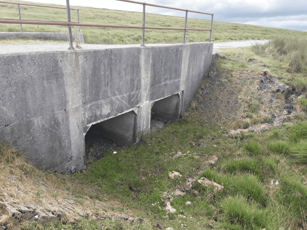
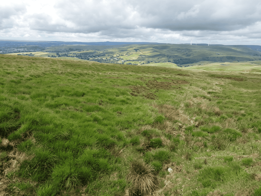
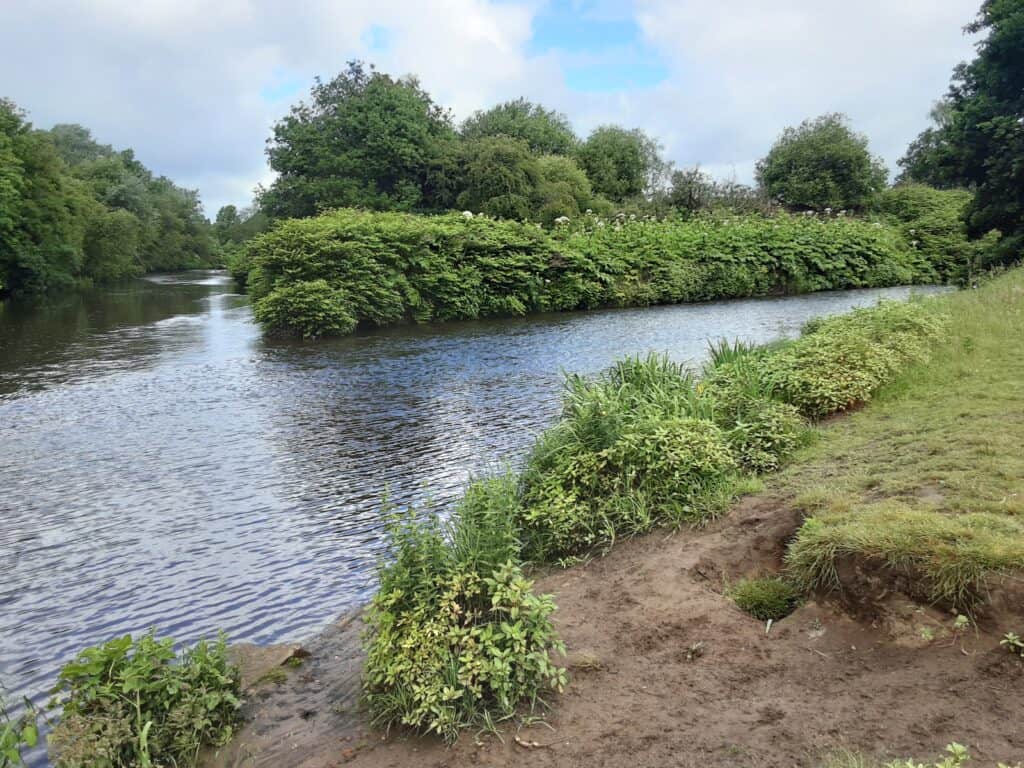
Source & Confluence
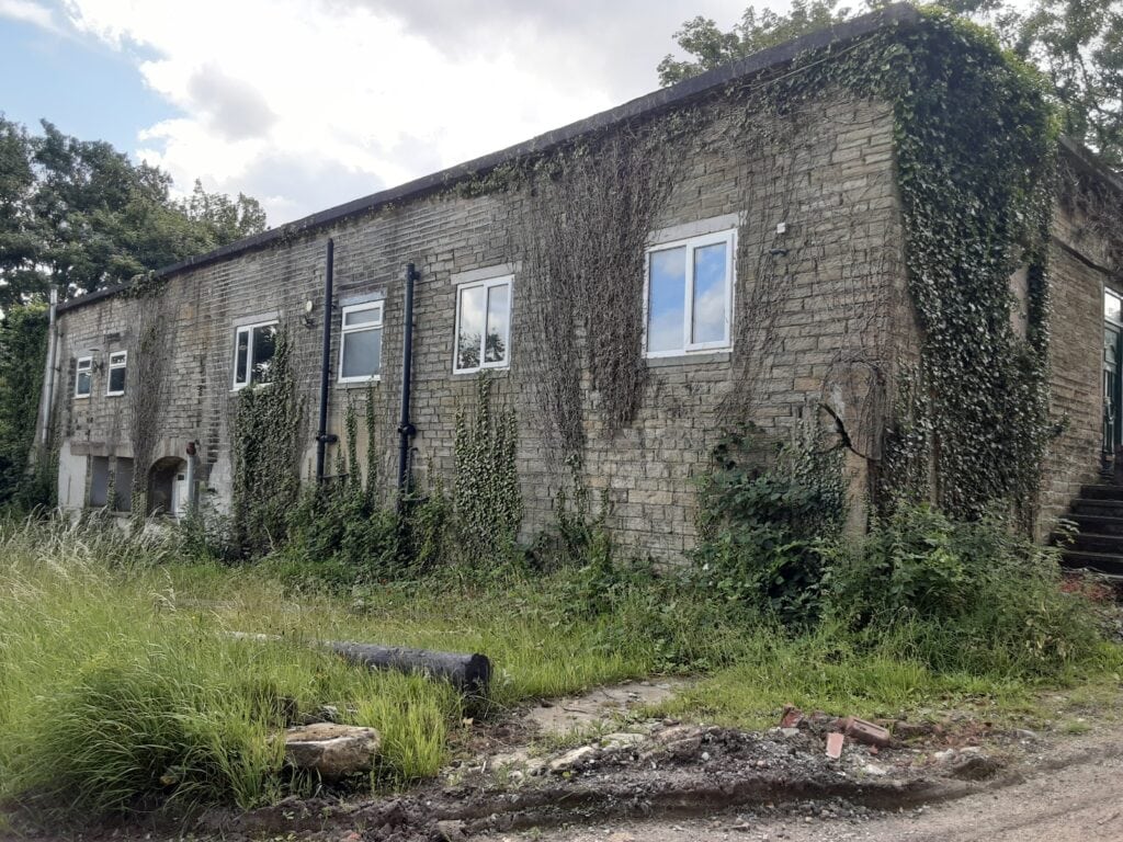
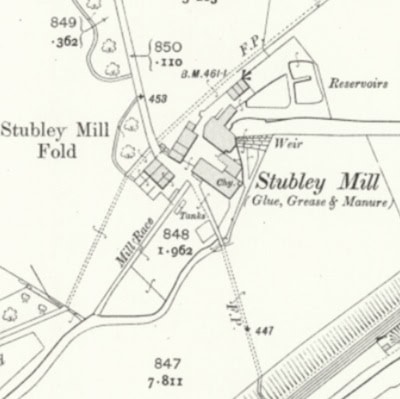
Stubley Mill, Littleborough
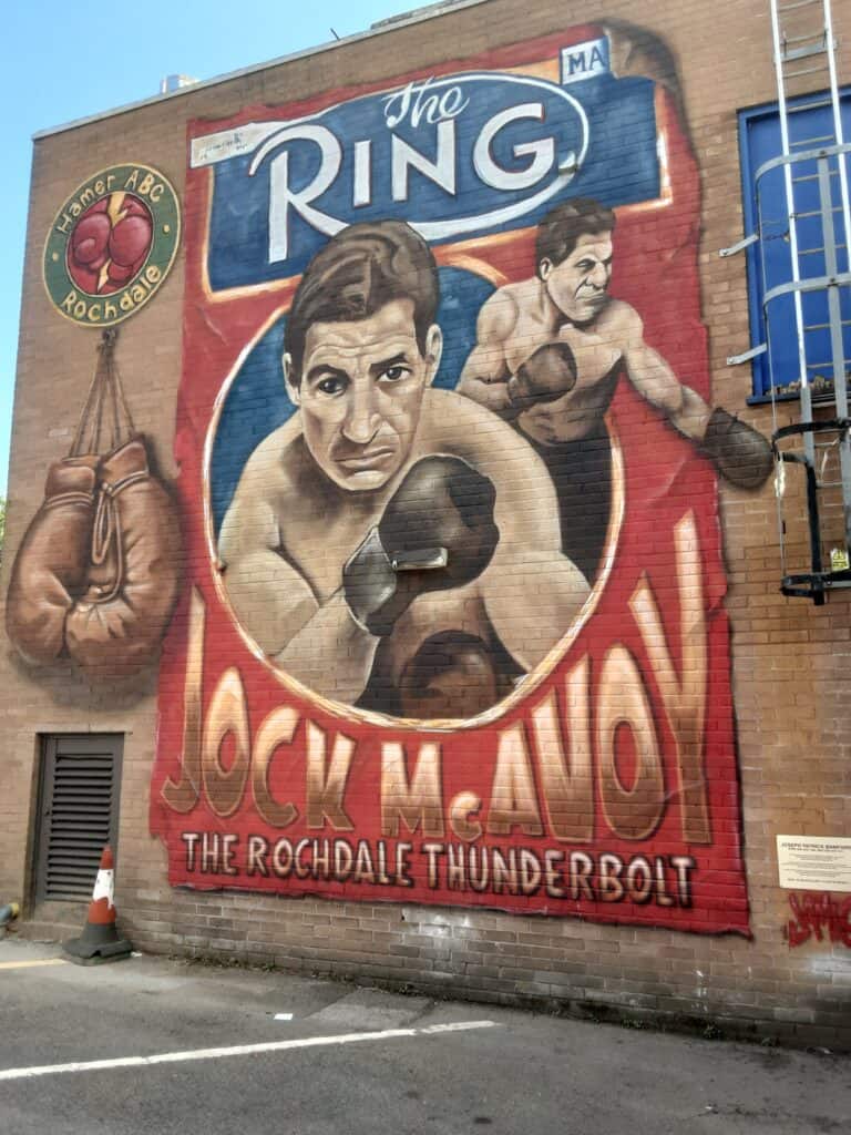
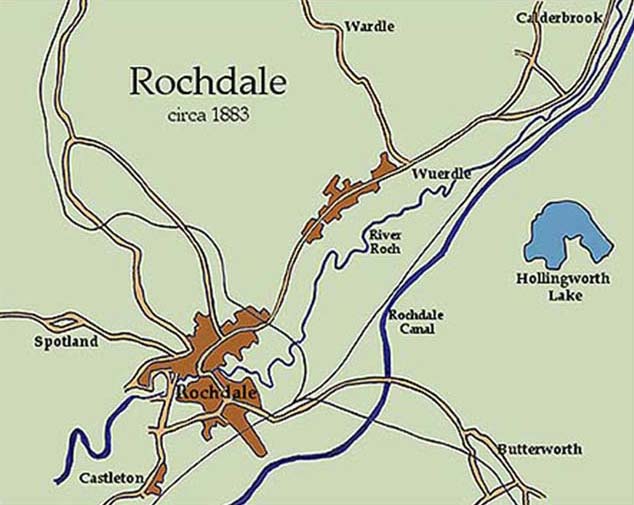
“The Rochdale Thunderbolt”
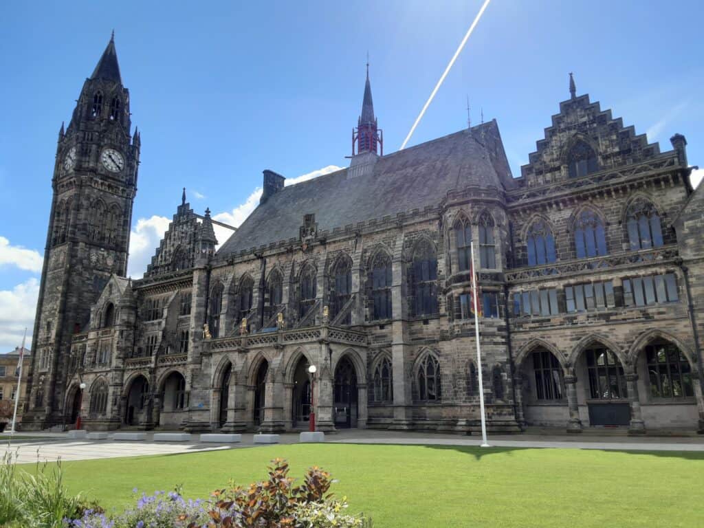
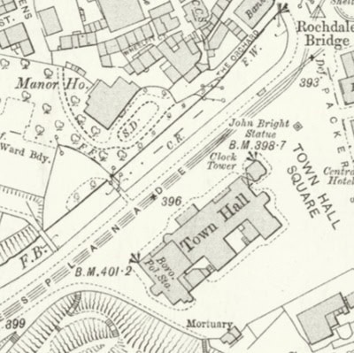
Rochdale Town Hall
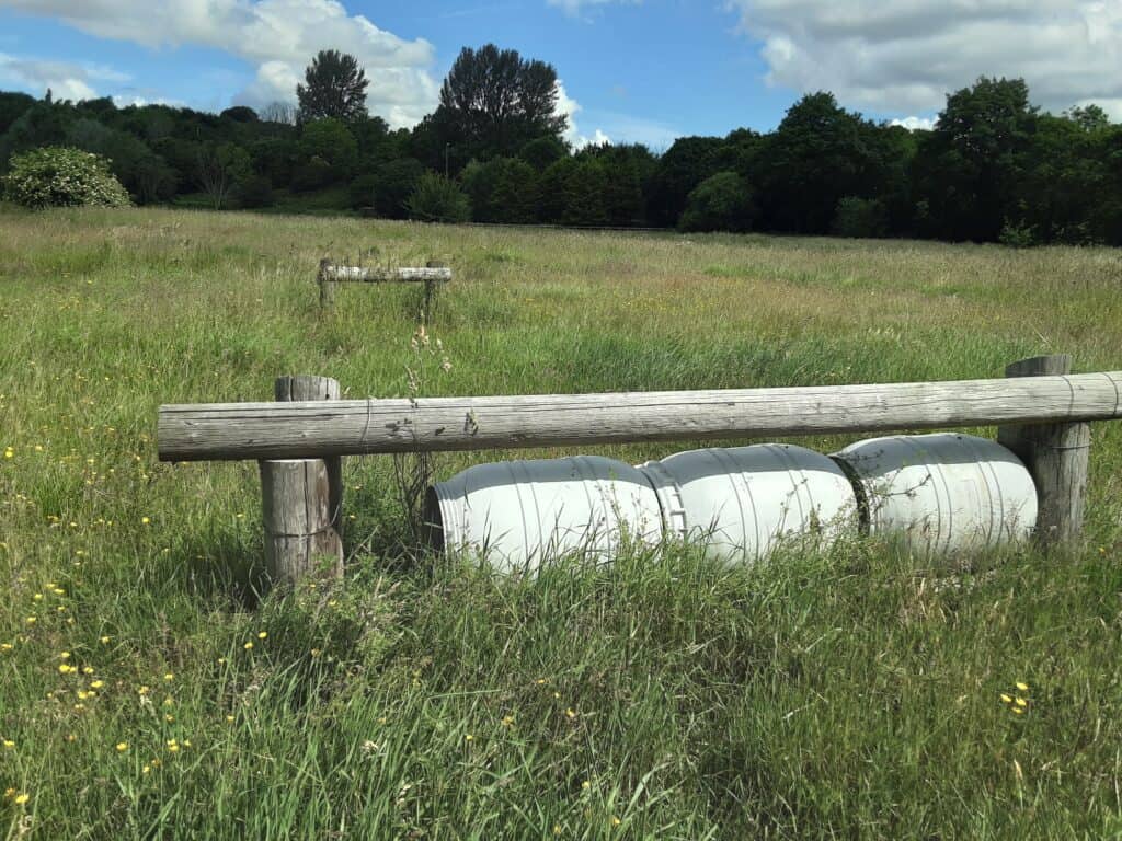
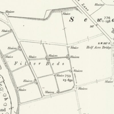
Roch Mill Sewage Farm, Marland … the site has even been used for show jumping!
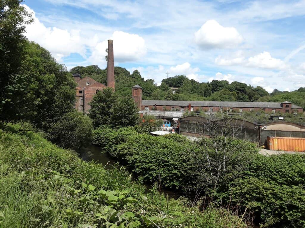
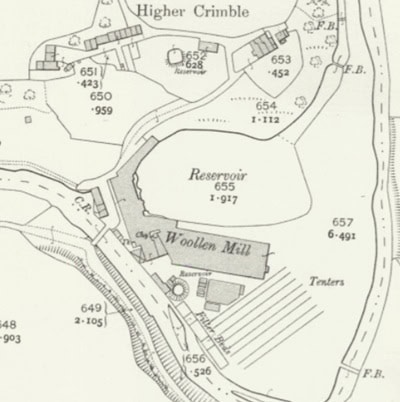
Crimble Mill, Heywood
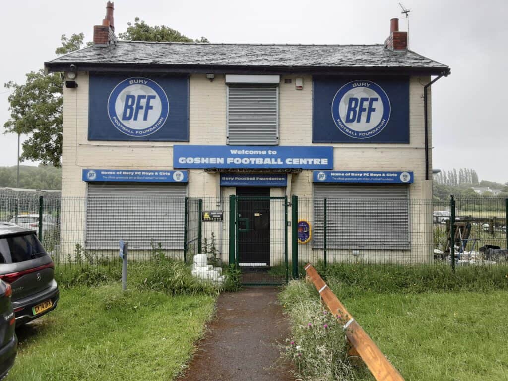
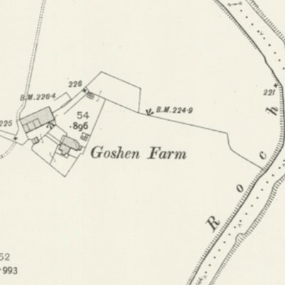
Goshen
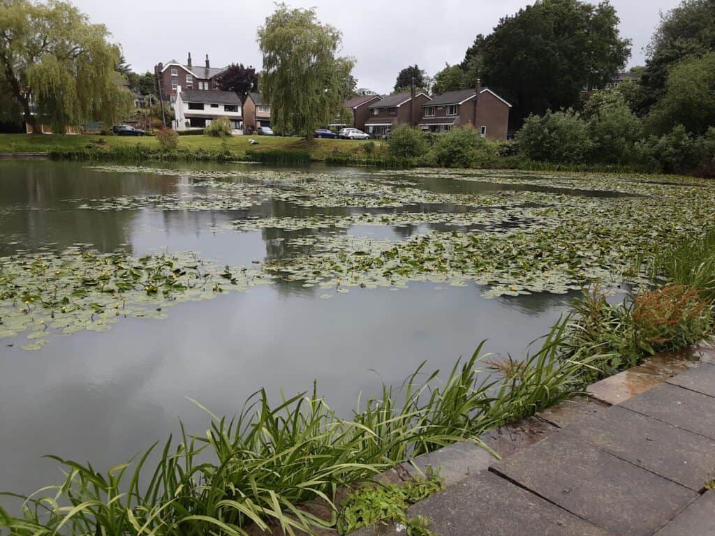
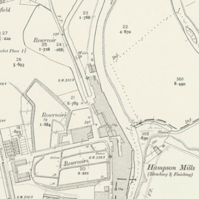
One of the reservoirs serving Hampson Mills, Hollins
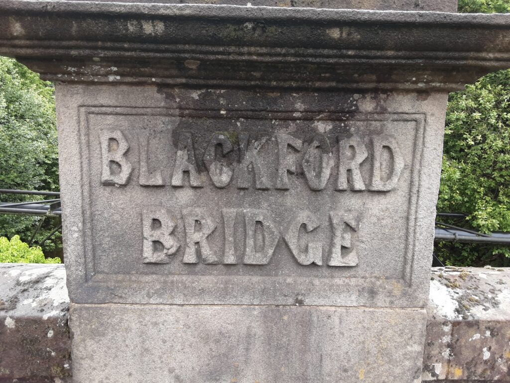
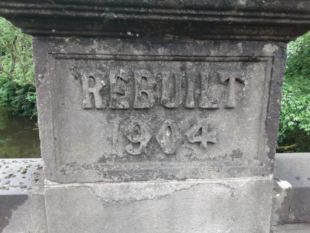
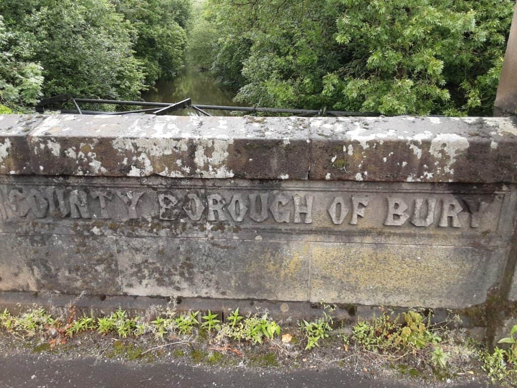
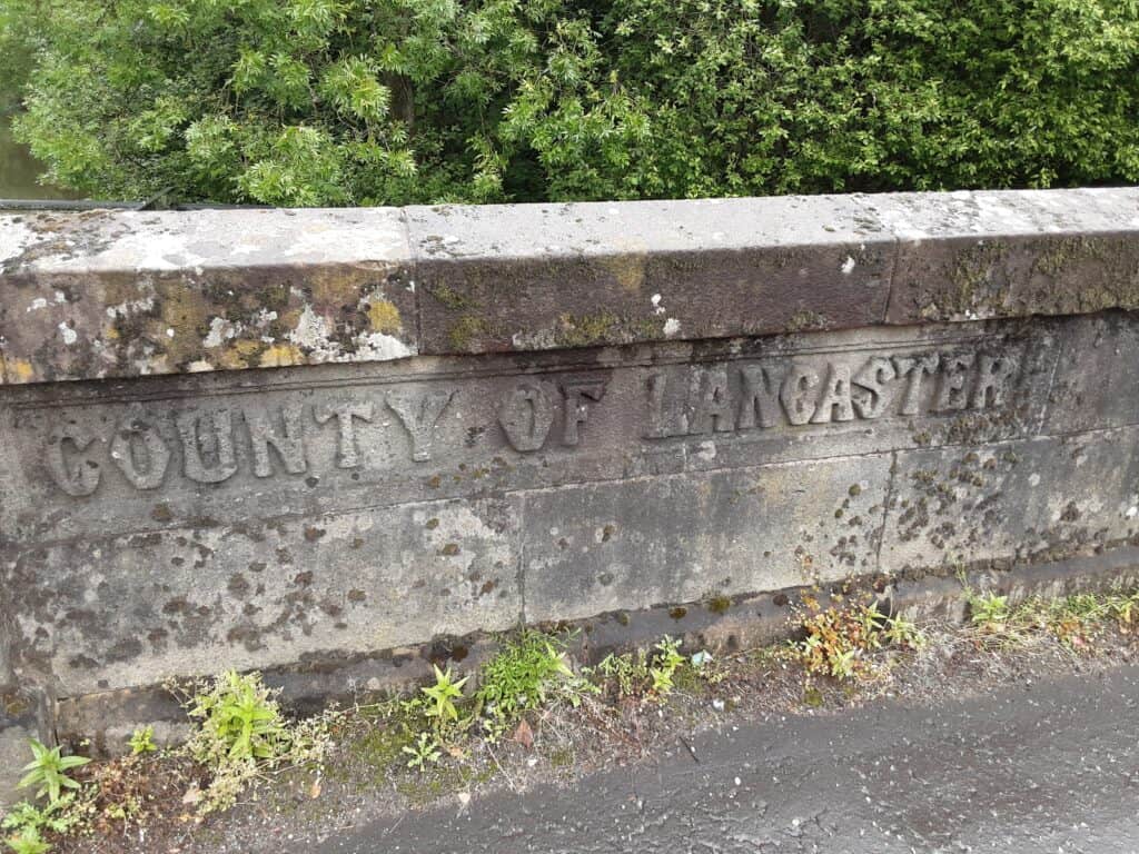
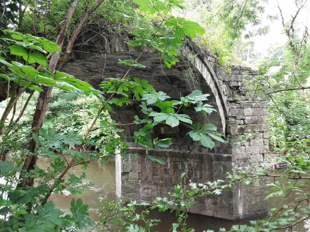
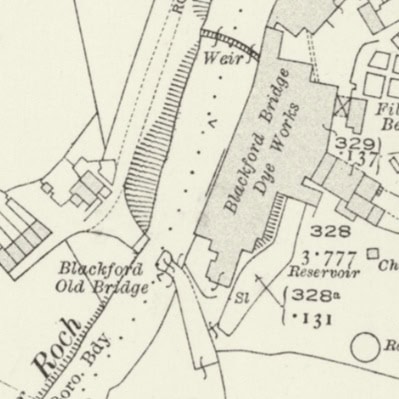
Blackford Old Bridge … ancient crossing point
My route … starts high in the Pennine hills … the views afar are sumptuous on a clear day. Plunging deeply down into the Upper Calder Valley, we reach the serenity of the Rochdale Canal. Further contrast from Littleborough to Howarth Cross, lovely riverside glimpses can be enjoyed here … as the river slowly begins to gain momentum. Although Rochdale centre is well worth a pause, the outskirts are quite grim and difficult to trace. The stretch from Marland to Crimble is sensational, and plenty of solitude can be soaked up on the way to Heap Bridge. The finale leg to Blackford Bridge is well-defined, and modern pathways only enhance its enjoyment. For the more inquisitive … there is a surprise feature to explore near the end(???)!